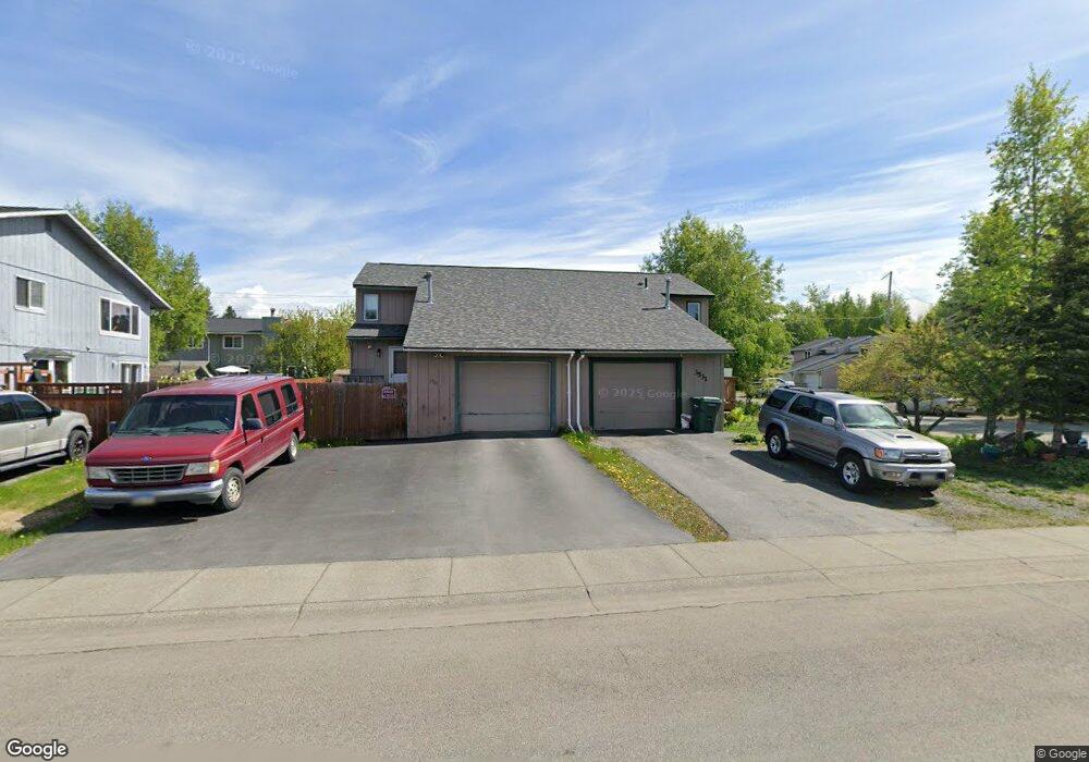
3521 Telstar Cir Anchorage, AK 99517
Turnagain NeighborhoodEstimated Value: $206,000 - $349,000
2
Beds
2
Baths
970
Sq Ft
$297/Sq Ft
Est. Value
About This Home
This home is located at 3521 Telstar Cir, Anchorage, AK 99517 and is currently estimated at $288,396, approximately $297 per square foot. 3521 Telstar Cir is a home located in Anchorage Municipality with nearby schools including Lake Hood Elementary School, Romig Middle School, and West High School.
Ownership History
Date
Name
Owned For
Owner Type
Purchase Details
Closed on
Jul 21, 1997
Sold by
Dicus James H and Dicus Nancy L
Bought by
Dicus Robert W and Dicus Jeannie C
Current Estimated Value
Home Financials for this Owner
Home Financials are based on the most recent Mortgage that was taken out on this home.
Original Mortgage
$97,920
Outstanding Balance
$12,594
Interest Rate
7.83%
Mortgage Type
VA
Estimated Equity
$275,802
Create a Home Valuation Report for This Property
The Home Valuation Report is an in-depth analysis detailing your home's value as well as a comparison with similar homes in the area
Home Values in the Area
Average Home Value in this Area
Purchase History
| Date | Buyer | Sale Price | Title Company |
|---|---|---|---|
| Dicus Robert W | -- | -- | |
| Dicus Robert W | -- | -- |
Source: Public Records
Mortgage History
| Date | Status | Borrower | Loan Amount |
|---|---|---|---|
| Open | Dicus Robert W | $97,920 | |
| Closed | Dicus Robert W | $97,920 |
Source: Public Records
Tax History
| Year | Tax Paid | Tax Assessment Tax Assessment Total Assessment is a certain percentage of the fair market value that is determined by local assessors to be the total taxable value of land and additions on the property. | Land | Improvement |
|---|---|---|---|---|
| 2025 | $3,069 | $282,700 | $84,000 | $198,700 |
| 2024 | $3,069 | $265,100 | $84,000 | $181,100 |
| 2023 | $4,120 | $241,900 | $84,000 | $157,900 |
| 2022 | $3,107 | $230,600 | $84,000 | $146,600 |
| 2021 | $3,854 | $213,900 | $84,000 | $129,900 |
| 2020 | $2,867 | $211,100 | $84,000 | $127,100 |
| 2019 | $2,772 | $211,800 | $84,000 | $127,800 |
| 2018 | $2,736 | $208,500 | $87,600 | $120,900 |
| 2017 | $3,015 | $212,500 | $83,200 | $129,300 |
| 2016 | $2,702 | $208,800 | $83,200 | $125,600 |
| 2015 | $2,702 | $201,700 | $76,000 | $125,700 |
| 2014 | $2,702 | $198,000 | $76,000 | $122,000 |
Source: Public Records
Map
Nearby Homes
- 3100 Ward Place Unit 30
- 3813 Galactica Dr
- 4111 Woronzof Dr
- 2531 Mckenzie Dr
- 000 Chilligan Dr
- 3333 Lakeshore Dr Unit 2
- 3333 Lakeshore Dr Unit 5
- 3517 Vintage Cir
- 000 Aircraft Dr
- 2401 W Marston Dr
- 2921 W 29th Ave Unit 5B
- 2906 W 29th Ave
- 3105 Lakeshore Dr Unit 4062
- 2511 Abbey Ln
- 2540 Lord Baranof Dr
- 4302 Forrest Rd
- 2335 Lord Baranof Dr
- 4000 Iowa Dr
- NHN Northwood Dr
- 5000 Northwood Dr
- 3531 Telstar Cir
- 3511 Telstar Cir
- 3501 Telstar Cir
- 3530 Corona Cir
- 3540 Corona Cir
- 3520 Corona Cir
- 3461 Telstar Cir
- 3510 Corona Cir
- 3520 Telstar Cir
- 3530 Telstar Cir
- 3500 Corona Cir
- 3510 Telstar Cir
- 3451 Telstar Cir
- 3936 Cosmos Dr
- 3930 Cosmos Dr
- 3500 Telstar Cir
- 3924 Cosmos Dr
- 3942 Cosmos Dr
- 3460 Corona Cir
- 3460 Telstar Cir
Your Personal Tour Guide
Ask me questions while you tour the home.