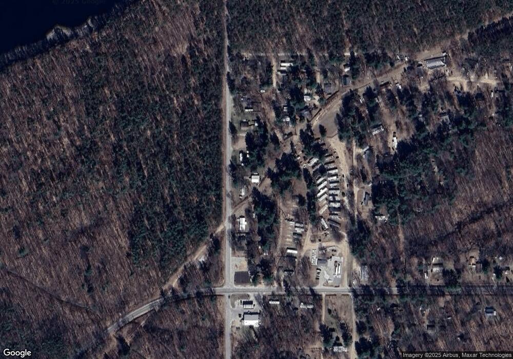
3524 S Chestnut Ave Newaygo, MI 49337
Estimated Value: $107,000 - $140,760
--
Bed
--
Bath
--
Sq Ft
0.48
Acres
About This Home
This home is located at 3524 S Chestnut Ave, Newaygo, MI 49337 and is currently estimated at $124,690. 3524 S Chestnut Ave is a home with nearby schools including Morley Stanwood Elementary School, Morley Stanwood Middle School, and Morley Stanwood High School.
Ownership History
Date
Name
Owned For
Owner Type
Purchase Details
Closed on
Dec 3, 2018
Sold by
Bodell John R and Bodell Jane F
Bought by
Mccarren Michael and Mccarren Windy
Current Estimated Value
Home Financials for this Owner
Home Financials are based on the most recent Mortgage that was taken out on this home.
Original Mortgage
$24,600
Outstanding Balance
$13,731
Interest Rate
4.8%
Mortgage Type
Stand Alone Refi Refinance Of Original Loan
Estimated Equity
$110,959
Purchase Details
Closed on
Aug 14, 2015
Sold by
Bodell John and Bodell Jane
Bought by
Mccarren Michael and Mccarren Cindy
Purchase Details
Closed on
Jul 9, 1996
Sold by
Kurnat Robert J
Bought by
Bodell John R
Create a Home Valuation Report for This Property
The Home Valuation Report is an in-depth analysis detailing your home's value as well as a comparison with similar homes in the area
Home Values in the Area
Average Home Value in this Area
Purchase History
| Date | Buyer | Sale Price | Title Company |
|---|---|---|---|
| Mccarren Michael | $40,000 | -- | |
| Mccarren Michael | -- | None Available | |
| Bodell John R | $35,300 | -- |
Source: Public Records
Mortgage History
| Date | Status | Borrower | Loan Amount |
|---|---|---|---|
| Open | Mccarren Michael | $24,600 |
Source: Public Records
Tax History Compared to Growth
Tax History
| Year | Tax Paid | Tax Assessment Tax Assessment Total Assessment is a certain percentage of the fair market value that is determined by local assessors to be the total taxable value of land and additions on the property. | Land | Improvement |
|---|---|---|---|---|
| 2025 | $1,356 | $57,500 | $0 | $0 |
| 2024 | $4 | $46,800 | $0 | $0 |
| 2023 | $336 | $39,300 | $0 | $0 |
| 2022 | $1,240 | $39,500 | $0 | $0 |
| 2021 | $1,206 | $38,700 | $0 | $0 |
| 2020 | $1,193 | $32,900 | $0 | $0 |
| 2019 | $1,132 | $26,500 | $0 | $0 |
| 2018 | $1,274 | $29,700 | $0 | $0 |
| 2017 | $972 | $24,300 | $0 | $0 |
| 2016 | $970 | $22,800 | $0 | $0 |
| 2015 | -- | $24,800 | $0 | $0 |
| 2014 | -- | $23,200 | $0 | $0 |
Source: Public Records
Map
Nearby Homes
- 7668 Elizabeth St
- 3730 Mary Ave
- 7812 Mary Ave
- 3259 S Chase Ave
- 3230 Johnson Ave
- 8406 E 36th St
- 8182 Hardy Dr
- 8091 Ray Dr
- 4175 S Beech Ave
- 4301 Lasalle Ln
- 6073 E 28th St
- 4600 Teal Ln
- 4468 Teal Ln
- 4855 Juniper Ridge Ave
- 4958 Juniper Ridge
- 4944 Juniper Ridge Ave
- 00 E Michland Path
- 1633 Camp Ave
- 5558 King St
- 6714 Hill St
