3525 Westview Rd Westminster, MD 21157
Estimated Value: $626,000 - $842,000
Studio
2
Baths
2,160
Sq Ft
$325/Sq Ft
Est. Value
About This Home
This home is located at 3525 Westview Rd, Westminster, MD 21157 and is currently estimated at $701,272, approximately $324 per square foot. 3525 Westview Rd is a home located in Carroll County with nearby schools including Winfield Elementary School, Mount Airy Middle School, and South Carroll High School.
Ownership History
Date
Name
Owned For
Owner Type
Purchase Details
Closed on
Nov 26, 1997
Sold by
Schlossnagle Robert L
Bought by
Straten Marjorie E Thor
Current Estimated Value
Purchase Details
Closed on
Nov 14, 1985
Sold by
Stabler Stanley P
Bought by
Schlossnagle Robert L
Home Financials for this Owner
Home Financials are based on the most recent Mortgage that was taken out on this home.
Original Mortgage
$32,000
Interest Rate
11.9%
Create a Home Valuation Report for This Property
The Home Valuation Report is an in-depth analysis detailing your home's value as well as a comparison with similar homes in the area
Purchase History
| Date | Buyer | Sale Price | Title Company |
|---|---|---|---|
| Straten Marjorie E Thor | $225,000 | -- | |
| Schlossnagle Robert L | $40,000 | -- |
Source: Public Records
Mortgage History
| Date | Status | Borrower | Loan Amount |
|---|---|---|---|
| Previous Owner | Schlossnagle Robert L | $32,000 |
Source: Public Records
Tax History
| Year | Tax Paid | Tax Assessment Tax Assessment Total Assessment is a certain percentage of the fair market value that is determined by local assessors to be the total taxable value of land and additions on the property. | Land | Improvement |
|---|---|---|---|---|
| 2025 | $4,801 | $426,267 | $0 | $0 |
| 2024 | $4,583 | $403,900 | $185,600 | $218,300 |
| 2023 | $4,370 | $384,900 | $0 | $0 |
| 2022 | $4,157 | $365,900 | $0 | $0 |
| 2021 | $8,080 | $346,900 | $145,600 | $201,300 |
| 2020 | $3,888 | $341,800 | $0 | $0 |
| 2019 | $3,865 | $336,700 | $0 | $0 |
| 2018 | $3,773 | $331,600 | $145,600 | $186,000 |
| 2017 | $3,628 | $318,600 | $0 | $0 |
| 2016 | -- | $366,200 | $0 | $0 |
| 2015 | -- | $353,200 | $0 | $0 |
| 2014 | -- | $353,200 | $0 | $0 |
Source: Public Records
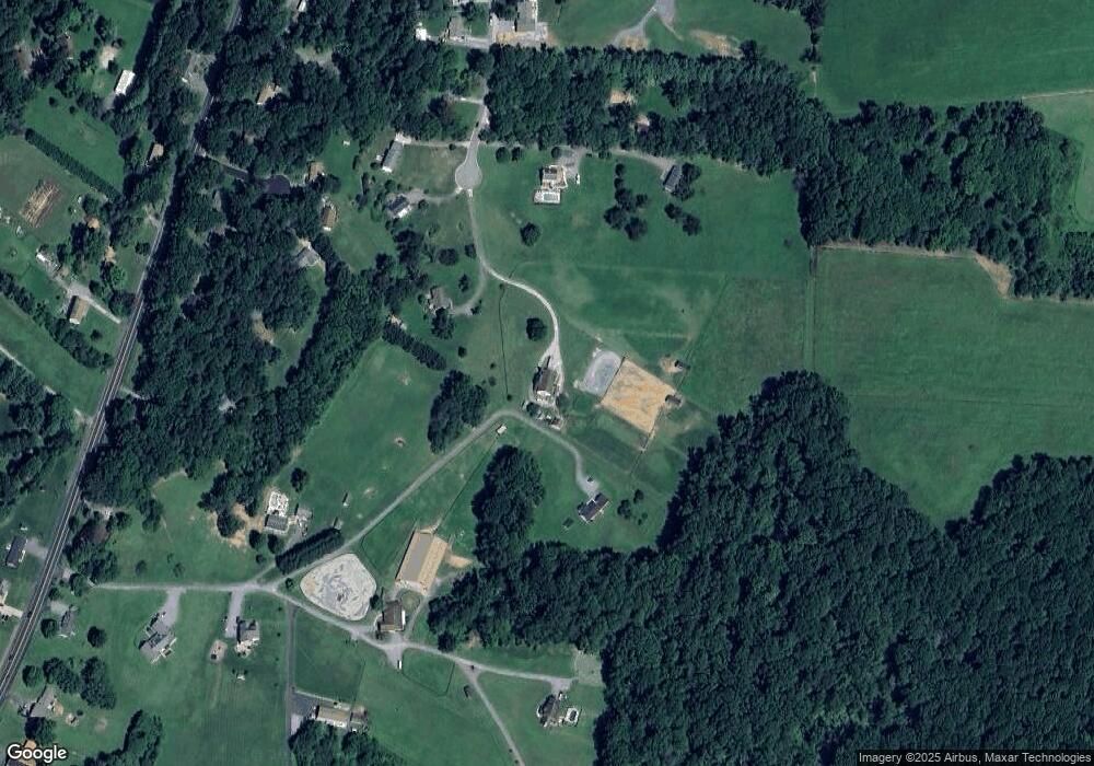
Map
Nearby Homes
- Lot 15 Westview Dr
- 3026 Marston Rd
- 3174 Cardinal Dr
- 1658 Sams Creek Rd
- 2900 Marston Rd
- 2514 W Liberty Rd
- 2613 Liberty Rd
- 4505 Gray Horse Dr
- 4328 Ridge Rd Unit 13
- PARCEL 198 Dennings Rd
- 0 Sams Creek Rd Unit MDCR2032994
- 970 Oak Tree Rd
- 0 Bear Branch Rd
- 4525 Roop Rd
- 2315 Sandel Ln
- 4814 Ridge Rd
- 15539 Liberty Rd
- 3816 A Jim Smith Ln
- 0 Bowersox Rd
- Parcel 535 Turf Farm Dr
- 3526 Westview Rd
- 3523 Westview Rd
- 3524 Westview Rd
- 3521 Westview Rd
- 3522 Westview Rd
- 3599 Kimberly James Ct
- 3597 Kimberly James Ct
- 2181 Sanders Dr
- 3601 Kimberly James Ct
- 3520 Westview Rd
- 3519 Westview Rd
- 2191 Sanders Dr
- 2191 Sanders Dr
- 3603 Kimberly James Ct
- 3595 Kimberly James Ct
- 2170 Sanders Dr
- 3607 Ridge Rd
- 3593 Ridge Rd
- 3516 Westview Rd
- 3591 Ridge Rd
Your Personal Tour Guide
Ask me questions while you tour the home.