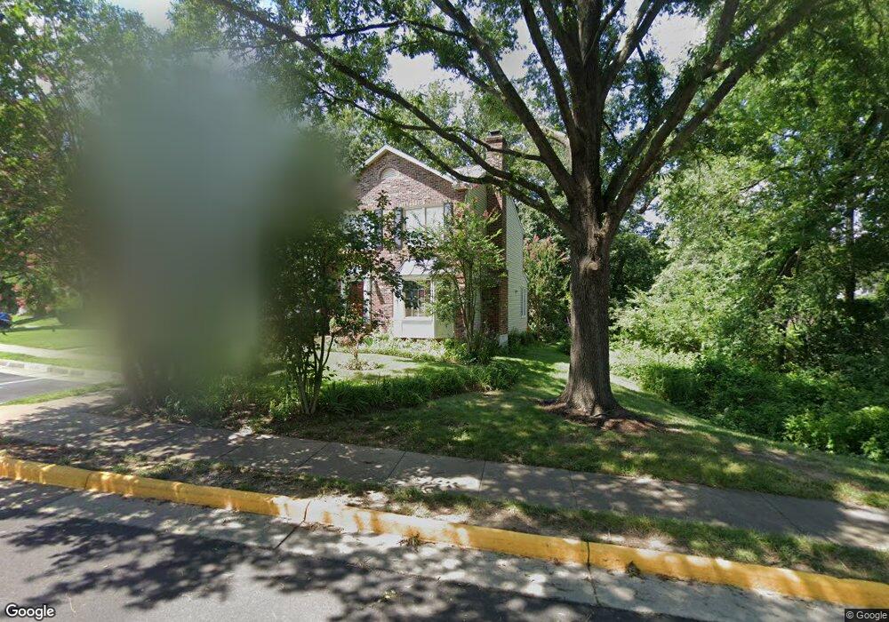
3526 Covered Bridge Ln Woodbridge, VA 22192
Old Bridge NeighborhoodEstimated Value: $476,881 - $506,000
3
Beds
3
Baths
1,450
Sq Ft
$341/Sq Ft
Est. Value
About This Home
This home is located at 3526 Covered Bridge Ln, Woodbridge, VA 22192 and is currently estimated at $494,220, approximately $340 per square foot. 3526 Covered Bridge Ln is a home located in Prince William County with nearby schools including Springwoods Elementary School, Gar-Field High School, and Woodbridge Middle School.
Ownership History
Date
Name
Owned For
Owner Type
Purchase Details
Closed on
May 29, 2002
Sold by
Burns Robert
Bought by
Sand Aida
Current Estimated Value
Home Financials for this Owner
Home Financials are based on the most recent Mortgage that was taken out on this home.
Original Mortgage
$139,200
Outstanding Balance
$59,646
Interest Rate
7%
Mortgage Type
New Conventional
Estimated Equity
$434,574
Create a Home Valuation Report for This Property
The Home Valuation Report is an in-depth analysis detailing your home's value as well as a comparison with similar homes in the area
Home Values in the Area
Average Home Value in this Area
Purchase History
| Date | Buyer | Sale Price | Title Company |
|---|---|---|---|
| Sand Aida | $174,000 | -- |
Source: Public Records
Mortgage History
| Date | Status | Borrower | Loan Amount |
|---|---|---|---|
| Open | Sand Aida | $139,200 |
Source: Public Records
Tax History Compared to Growth
Tax History
| Year | Tax Paid | Tax Assessment Tax Assessment Total Assessment is a certain percentage of the fair market value that is determined by local assessors to be the total taxable value of land and additions on the property. | Land | Improvement |
|---|---|---|---|---|
| 2025 | $4,525 | $491,800 | $161,100 | $330,700 |
| 2024 | $4,525 | $455,000 | $149,200 | $305,800 |
| 2023 | $4,411 | $423,900 | $138,200 | $285,700 |
| 2022 | $4,380 | $395,500 | $127,900 | $267,600 |
| 2021 | $4,344 | $355,000 | $114,300 | $240,700 |
| 2020 | $5,144 | $331,900 | $106,800 | $225,100 |
| 2019 | $4,904 | $316,400 | $101,700 | $214,700 |
| 2018 | $3,726 | $308,600 | $99,700 | $208,900 |
| 2017 | $3,629 | $293,100 | $94,100 | $199,000 |
| 2016 | $3,476 | $283,100 | $90,500 | $192,600 |
| 2015 | $3,067 | $268,700 | $85,300 | $183,400 |
| 2014 | $3,067 | $243,600 | $76,900 | $166,700 |
Source: Public Records
Map
Nearby Homes
- 3642 Woodhaven Ct
- 12743 Purdham Dr
- 3493 Wainscott Place
- 12899 Bjork Ln
- 12804 Evansport Place
- 12871 Valleywood Dr
- 12517 Hedges Run Dr
- 12948 Augustus Ct
- 4104 Churchman Way
- 4068 Chetham Way
- 12461 Hedges Run Dr
- 3988 Cressida Place
- 12309 Ashmont Ct Unit 203
- 12758 Silvia Loop
- 4167 Churchman Way
- 12608 Kempston Ln
- 12213 Stevenson Ct Unit 12213
- 12240 Stevenson Ct
- 12551 Kempston Ln
- 12834 Valleywood Dr
- 3528 Covered Bridge Ln
- 3532 Covered Bridge Ln
- 3534 Covered Bridge Ln
- 3527 Covered Bridge Ln
- 3525 Covered Bridge Ln
- 3531 Covered Bridge Ln
- 3529 Covered Bridge Ln
- 3533 Covered Bridge Ln
- 3536 Covered Bridge Ln
- 3535 Covered Bridge Ln
- 3537 Covered Bridge Ln
- 3523 Covered Bridge Ln
- 3539 Covered Bridge Ln
- 3538 Covered Bridge Ln
- 3521 Covered Bridge Ln
- 3541 Covered Bridge Ln
- 3540 Covered Bridge Ln
- 3519 Covered Bridge Ln
- 3630 Eagle Rock Ct
- 3542 Covered Bridge Ln