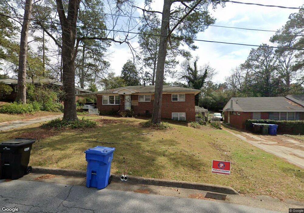
3526 Kay Cir Columbus, GA 31907
Eastern Columbus NeighborhoodEstimated Value: $169,000 - $223,194
5
Beds
4
Baths
1,714
Sq Ft
$111/Sq Ft
Est. Value
About This Home
This home is located at 3526 Kay Cir, Columbus, GA 31907 and is currently estimated at $190,299, approximately $111 per square foot. 3526 Kay Cir is a home located in Muscogee County with nearby schools including Rigdon Road Elementary School, Richards Middle School, and Hardaway High School.
Ownership History
Date
Name
Owned For
Owner Type
Purchase Details
Closed on
Aug 22, 2023
Sold by
Bierenfeld Barbara Cobis
Bought by
Meza Katherine Bierenfeld
Current Estimated Value
Purchase Details
Closed on
Jun 20, 2008
Sold by
Taylor Mary Ellen and Raville Petra
Bought by
Estate Of Joseph F Cobis and Bierenfeld Barbara
Create a Home Valuation Report for This Property
The Home Valuation Report is an in-depth analysis detailing your home's value as well as a comparison with similar homes in the area
Home Values in the Area
Average Home Value in this Area
Purchase History
| Date | Buyer | Sale Price | Title Company |
|---|---|---|---|
| Meza Katherine Bierenfeld | -- | None Listed On Document | |
| Estate Of Joseph F Cobis | -- | None Available |
Source: Public Records
Tax History Compared to Growth
Tax History
| Year | Tax Paid | Tax Assessment Tax Assessment Total Assessment is a certain percentage of the fair market value that is determined by local assessors to be the total taxable value of land and additions on the property. | Land | Improvement |
|---|---|---|---|---|
| 2025 | $2,156 | $68,268 | $14,720 | $53,548 |
| 2024 | $2,672 | $68,268 | $14,720 | $53,548 |
| 2023 | $2,689 | $68,268 | $14,720 | $53,548 |
| 2022 | $614 | $45,728 | $11,044 | $34,684 |
| 2021 | $607 | $47,340 | $11,044 | $36,296 |
| 2020 | $608 | $47,340 | $11,044 | $36,296 |
| 2019 | $611 | $47,340 | $11,044 | $36,296 |
| 2018 | $611 | $47,340 | $11,044 | $36,296 |
| 2017 | $615 | $47,340 | $11,044 | $36,296 |
| 2016 | $619 | $28,265 | $3,551 | $24,714 |
| 2015 | $620 | $28,265 | $3,551 | $24,714 |
| 2014 | $621 | $28,265 | $3,551 | $24,714 |
| 2013 | -- | $28,265 | $3,551 | $24,714 |
Source: Public Records
Map
Nearby Homes
- 3560 Woodland Dr
- 3562 Woodland Dr
- 1553 Violet Ave
- 2 Kingswood Ct
- 1554 Holland Ave
- 8 Kingswood Ct
- 3760 Mulberry Dr
- 1459 Alta Vista Dr
- 2525 Norris Rd Unit 36
- 2525 Norris Rd Unit 91
- 3800 Woodmont Dr
- 3836 Mulberry Dr
- 2722 E Lindsay Dr
- 2940 Birchfield Dr
- 2576 Habersham Ave
- 3875 Mulberry Dr
- 4 Clausen Dr
- 2604 Sue MacK Dr
- 1712 Marilon Dr
- 1903 Marilon Dr