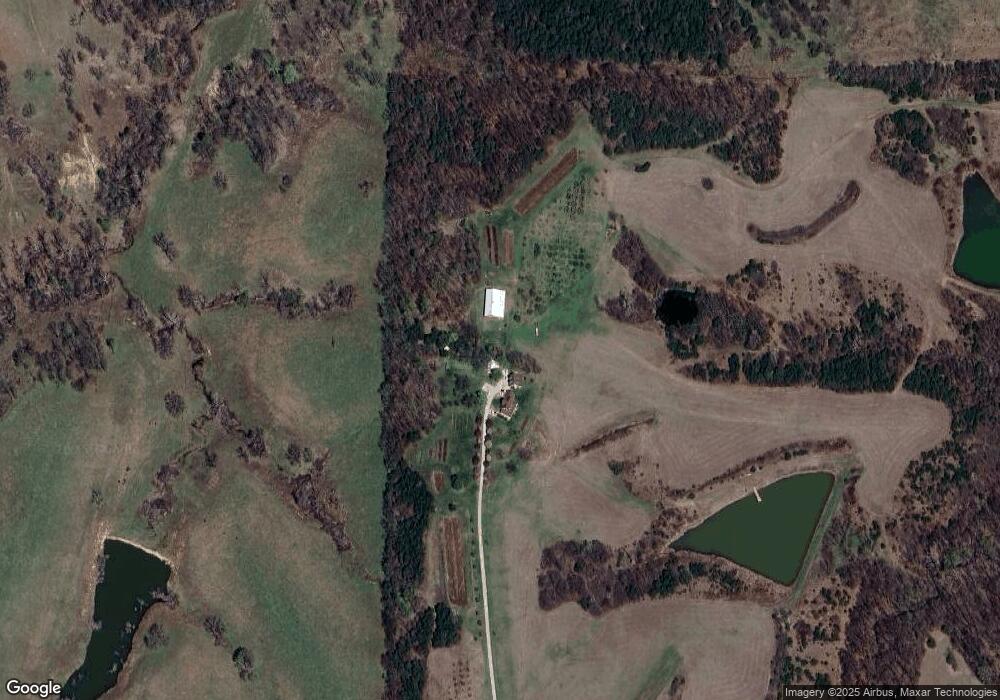
35278 203rd St Easton, KS 66020
Estimated Value: $338,000 - $803,502
3
Beds
3
Baths
2,032
Sq Ft
$302/Sq Ft
Est. Value
About This Home
This home is located at 35278 203rd St, Easton, KS 66020 and is currently estimated at $613,167, approximately $301 per square foot. 35278 203rd St is a home located in Leavenworth County with nearby schools including Pleasant Ridge Elementary School, Pleasant Ridge Middle School, and Pleasant Ridge High School.
Ownership History
Date
Name
Owned For
Owner Type
Purchase Details
Closed on
May 1, 2004
Bought by
Frank James and Frank Cynthia James
Current Estimated Value
Home Financials for this Owner
Home Financials are based on the most recent Mortgage that was taken out on this home.
Original Mortgage
$270,900
Outstanding Balance
$182,700
Interest Rate
6.01%
Mortgage Type
VA
Estimated Equity
$430,467
Create a Home Valuation Report for This Property
The Home Valuation Report is an in-depth analysis detailing your home's value as well as a comparison with similar homes in the area
Home Values in the Area
Average Home Value in this Area
Purchase History
| Date | Buyer | Sale Price | Title Company |
|---|---|---|---|
| Frank James | $440,000 | -- |
Source: Public Records
Mortgage History
| Date | Status | Borrower | Loan Amount |
|---|---|---|---|
| Open | Frank James | $270,900 | |
| Closed | Frank James | $270,000 |
Source: Public Records
Tax History Compared to Growth
Tax History
| Year | Tax Paid | Tax Assessment Tax Assessment Total Assessment is a certain percentage of the fair market value that is determined by local assessors to be the total taxable value of land and additions on the property. | Land | Improvement |
|---|---|---|---|---|
| 2025 | $7,743 | $76,560 | $11,948 | $64,612 |
| 2024 | $5,972 | $75,705 | $10,795 | $64,910 |
| 2023 | $5,972 | $59,060 | $10,888 | $48,172 |
| 2022 | $5,221 | $51,458 | $9,772 | $41,686 |
| 2021 | $4,553 | $43,913 | $9,604 | $34,309 |
| 2020 | $4,356 | $41,814 | $9,442 | $32,372 |
| 2019 | $4,470 | $42,787 | $8,631 | $34,156 |
| 2018 | $4,231 | $40,575 | $7,907 | $32,668 |
| 2017 | $4,090 | $39,088 | $7,640 | $31,448 |
| 2016 | $4,014 | $38,297 | $7,950 | $30,347 |
| 2015 | $3,994 | $37,872 | $6,608 | $31,264 |
| 2014 | $2,975 | $28,460 | $6,170 | $22,290 |
Source: Public Records
Map
Nearby Homes
- 34903 195th St
- 20513 Lowemont Rd
- 32378 215 St
- 16321 Hildebrandt Rd
- 22125 Westside Dr
- 0 195th St
- 000000 195th St
- 4445 Sherman Rd
- 19115 Missouri 45
- 34530 255th St
- 16425 Fort Riley Rd
- 0 Salem Rd
- 30810 235th St
- 17051 Mount Olivet Rd
- 0 Brown Rd Unit HMS2568985
- 30680 243rd St
- 908 Washington St
- 11341 Osborne Rd
- 24200 N Us 45 Hwy
- 27135 Webster Ct