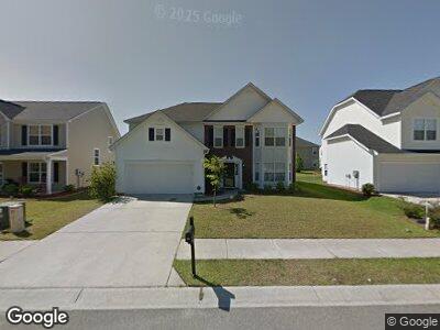
3529 Agape Ct Ladson, SC 29456
Woodstock NeighborhoodEstimated Value: $379,700 - $493,000
5
Beds
4
Baths
3,280
Sq Ft
$134/Sq Ft
Est. Value
About This Home
This home is located at 3529 Agape Ct, Ladson, SC 29456 and is currently estimated at $440,675, approximately $134 per square foot. 3529 Agape Ct is a home located in Charleston County with nearby schools including Ladson Elementary School, Deer Park Middle, and R.B. Stall High School.
Ownership History
Date
Name
Owned For
Owner Type
Purchase Details
Closed on
Aug 11, 2023
Sold by
Washington Leroy
Bought by
Davis Washington Lillie
Current Estimated Value
Purchase Details
Closed on
May 7, 2015
Sold by
Paddock Pointe Homeowners Association In
Bought by
Washington Leroy and Washington Lillie D
Purchase Details
Closed on
Oct 22, 2014
Sold by
Washington Leroy
Bought by
Paddock Pointe Homeowners Association In
Purchase Details
Closed on
Jun 11, 2008
Sold by
Harbor Homes Llc
Bought by
Washington Leroy and Washington Lillie D
Home Financials for this Owner
Home Financials are based on the most recent Mortgage that was taken out on this home.
Original Mortgage
$239,701
Interest Rate
6.04%
Mortgage Type
VA
Purchase Details
Closed on
Apr 11, 2008
Sold by
Koester Road Development Llc
Bought by
Harbor Homes Llc
Create a Home Valuation Report for This Property
The Home Valuation Report is an in-depth analysis detailing your home's value as well as a comparison with similar homes in the area
Home Values in the Area
Average Home Value in this Area
Purchase History
| Date | Buyer | Sale Price | Title Company |
|---|---|---|---|
| Davis Washington Lillie | -- | None Listed On Document | |
| Washington Leroy | $4,952 | -- | |
| Paddock Pointe Homeowners Association In | $4,000 | -- | |
| Washington Leroy | $234,656 | -- | |
| Harbor Homes Llc | -- | -- |
Source: Public Records
Mortgage History
| Date | Status | Borrower | Loan Amount |
|---|---|---|---|
| Previous Owner | Washington Leroy | $209,695 | |
| Previous Owner | Washington Leroy | $239,701 |
Source: Public Records
Tax History Compared to Growth
Tax History
| Year | Tax Paid | Tax Assessment Tax Assessment Total Assessment is a certain percentage of the fair market value that is determined by local assessors to be the total taxable value of land and additions on the property. | Land | Improvement |
|---|---|---|---|---|
| 2023 | $222 | $9,540 | $0 | $0 |
| 2022 | $1,417 | $9,540 | $0 | $0 |
| 2021 | $1,611 | $10,540 | $0 | $0 |
| 2020 | $1,653 | $10,540 | $0 | $0 |
| 2019 | $1,462 | $9,170 | $0 | $0 |
| 2017 | $1,383 | $9,170 | $0 | $0 |
| 2016 | $1,335 | $9,170 | $0 | $0 |
| 2015 | $3,609 | $13,750 | $0 | $0 |
| 2014 | $3,179 | $0 | $0 | $0 |
| 2011 | -- | $0 | $0 | $0 |
Source: Public Records
Map
Nearby Homes
- 3529 Galaxy Rd
- 3537 Galaxy Rd
- 9471 Netted Charm Ct
- 0 Ladson Rd
- 9652 Spencer Woods Rd
- 3706 Blackjack Rd
- 111 Craven Rd
- 126 Moses Extension
- 3614 Haymont Ln
- 3639 Pimmit Place
- 659 Hamlet Cir
- 3844 Annapolis Way
- 2916 Shadow Ln
- 123 Dasharon Ln
- 1039 Wilhite Dr
- 0 Pinewood Dr
- 9030 Ethel Rd
- 414 Hamlet Cir
- 3678 Ladson Rd
- 9914 Levenshall Dr