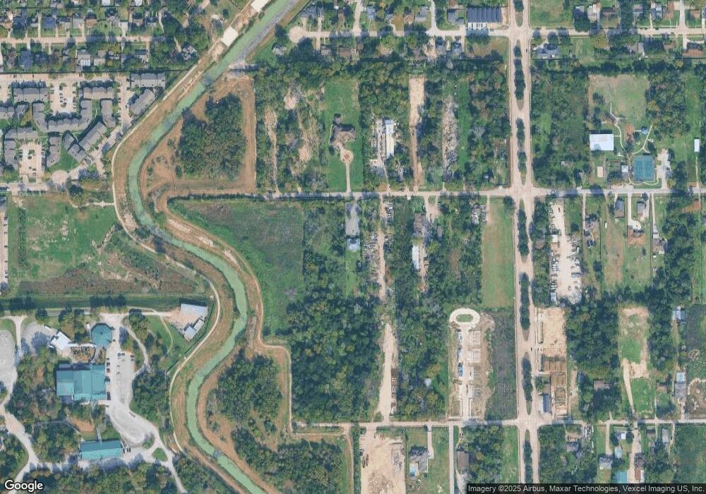
3529 De Soto St Unit 1 Houston, TX 77091
Acres Homes Neighborhood
4
Beds
1
Bath
1,191
Sq Ft
0.99
Acres
About This Home
This home is located at 3529 De Soto St Unit 1, Houston, TX 77091. 3529 De Soto St Unit 1 is a home located in Harris County with nearby schools including Edward a Vines EC/Pre-K/K School, Harris Elementary School, and Hoffman Middle School.
Ownership History
Date
Name
Owned For
Owner Type
Purchase Details
Closed on
Jun 2, 2010
Sold by
The Frost National Bank
Bought by
Aguilar Esbin E and Pineda Elida C
Purchase Details
Closed on
Feb 2, 2010
Sold by
Hurrington Freddie W
Bought by
Frost National Bank
Purchase Details
Closed on
Dec 29, 2006
Sold by
Hurrington Freddie W
Bought by
Hurrington Freddie W and Mims Lisa M
Purchase Details
Closed on
Jul 21, 2006
Sold by
Tolden William James
Bought by
Hurrington Fred W and Hurrington Freddie W
Home Financials for this Owner
Home Financials are based on the most recent Mortgage that was taken out on this home.
Original Mortgage
$40,000
Interest Rate
6.77%
Mortgage Type
Purchase Money Mortgage
Create a Home Valuation Report for This Property
The Home Valuation Report is an in-depth analysis detailing your home's value as well as a comparison with similar homes in the area
Home Values in the Area
Average Home Value in this Area
Purchase History
| Date | Buyer | Sale Price | Title Company |
|---|---|---|---|
| Aguilar Esbin E | -- | Ameripoint Title | |
| Frost National Bank | $20,209 | None Available | |
| Hurrington Freddie W | -- | None Available | |
| Hurrington Fred W | -- | First American Title Ins Co |
Source: Public Records
Mortgage History
| Date | Status | Borrower | Loan Amount |
|---|---|---|---|
| Previous Owner | Hurrington Fred W | $40,000 |
Source: Public Records
Tax History Compared to Growth
Tax History
| Year | Tax Paid | Tax Assessment Tax Assessment Total Assessment is a certain percentage of the fair market value that is determined by local assessors to be the total taxable value of land and additions on the property. | Land | Improvement |
|---|---|---|---|---|
| 2025 | $9,042 | $430,891 | $411,863 | $19,028 |
| 2024 | $9,042 | $398,421 | $379,348 | $19,073 |
| 2023 | $9,042 | $398,912 | $379,348 | $19,564 |
| 2022 | $8,790 | $366,470 | $346,832 | $19,638 |
| 2021 | $4,770 | $189,913 | $173,416 | $16,497 |
| 2020 | $4,577 | $173,416 | $173,416 | $0 |
| 2019 | $2,999 | $108,385 | $108,385 | $0 |
| 2018 | $1,245 | $86,708 | $86,708 | $0 |
| 2017 | $1,955 | $73,702 | $73,702 | $0 |
| 2016 | $1,725 | $65,031 | $65,031 | $0 |
| 2015 | $1,096 | $65,031 | $65,031 | $0 |
| 2014 | $1,096 | $41,186 | $41,186 | $0 |
Source: Public Records
Map
Nearby Homes
- 6024 T C Jester Blvd
- 3422 Mansfield St
- 3406 De Soto St
- 3414 Mansfield St
- 3406 Mansfield St
- 0000 T C Jester Blvd
- 00 T C Jester
- 6413 T C Jester Blvd
- 5505 T C Jester Blvd
- 5917 Manning Oaks St
- 5913 Manning Oaks St
- 4906 Droddy St
- 5916 Manning Oaks St
- 5914 Manning Oaks St
- 3402 Paul Quinn St
- 3318 Paul Quinn St
- Honeysuckle Plan at Mansfield Estates
- Daisy Plan at Mansfield Estates
- 5929 Manning Oaks St
- 3211 De Soto St
- 3531 De Soto St
- 3521 De Soto St
- 3525 De Soto St
- 3523 De Soto St
- 0 de Soto St St
- 3522 Mansfield St
- 3522 Mansfield St Unit C
- 3522 Mansfield St Unit B
- 3522 Mansfield St
- 3614 Mansfield St
- 3505 De Soto St
- 3522 1/2 Mansfield St
- 3429 De Soto St
- 6132 de Campo St
- 6132 de Campo St Unit A
- 3514 De Soto St
- 3530 Mansfield St
- 3518 De Soto St
- 3524 De Soto St
- 3602 De Soto St
