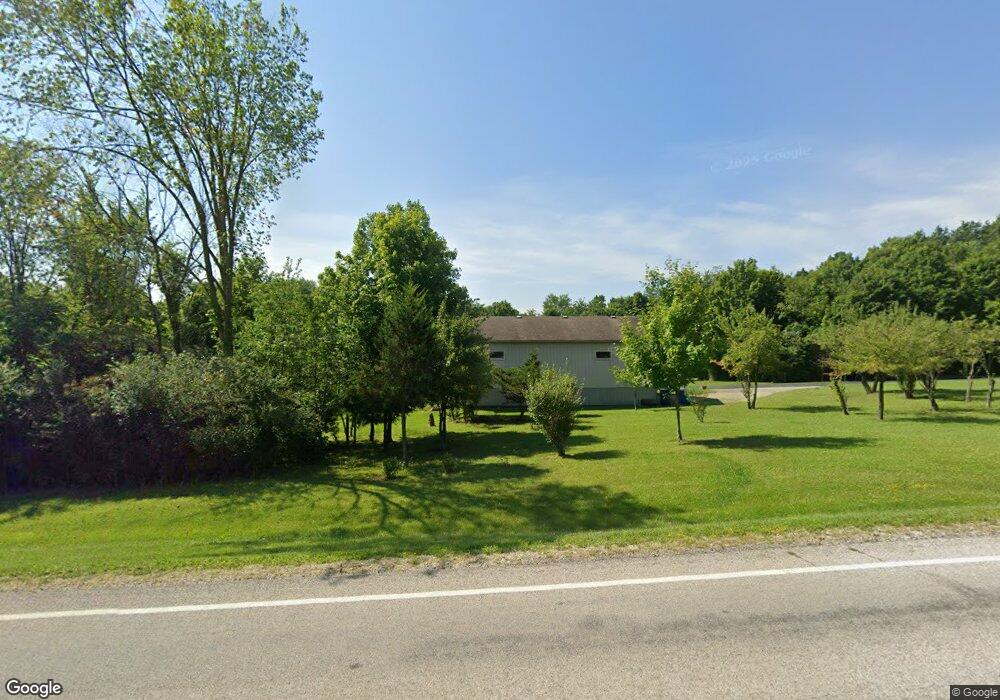
3529 E 1200 N Roanoke, IN 46783
Estimated Value: $397,000 - $465,668
3
Beds
4
Baths
2,824
Sq Ft
$153/Sq Ft
Est. Value
About This Home
This home is located at 3529 E 1200 N, Roanoke, IN 46783 and is currently estimated at $431,334, approximately $152 per square foot. 3529 E 1200 N is a home located in Huntington County with nearby schools including Roanoke Elementary School, Crestview Middle School, and Huntington North High School.
Ownership History
Date
Name
Owned For
Owner Type
Purchase Details
Closed on
Aug 13, 2010
Sold by
Rethlake Brian R and Rethlake Sheila J
Bought by
Donahue Michael P and Donahue Terry L
Current Estimated Value
Home Financials for this Owner
Home Financials are based on the most recent Mortgage that was taken out on this home.
Original Mortgage
$125,000
Interest Rate
4.74%
Mortgage Type
New Conventional
Purchase Details
Closed on
Jul 6, 2010
Sold by
Rethlake Sheila J
Bought by
Donahue Terry L and Donahue Michael P
Home Financials for this Owner
Home Financials are based on the most recent Mortgage that was taken out on this home.
Original Mortgage
$125,000
Interest Rate
4.74%
Mortgage Type
New Conventional
Create a Home Valuation Report for This Property
The Home Valuation Report is an in-depth analysis detailing your home's value as well as a comparison with similar homes in the area
Purchase History
| Date | Buyer | Sale Price | Title Company |
|---|---|---|---|
| Donahue Michael P | -- | None Available | |
| Donahue Terry L | $249,900 | -- | |
| Donahue Michael P | -- | None Available |
Source: Public Records
Mortgage History
| Date | Status | Borrower | Loan Amount |
|---|---|---|---|
| Closed | Donahue Michael P | $125,000 | |
| Previous Owner | Donahue Michael P | $125,000 |
Source: Public Records
Tax History
| Year | Tax Paid | Tax Assessment Tax Assessment Total Assessment is a certain percentage of the fair market value that is determined by local assessors to be the total taxable value of land and additions on the property. | Land | Improvement |
|---|---|---|---|---|
| 2024 | $3,048 | $372,800 | $52,100 | $320,700 |
| 2023 | $2,730 | $328,000 | $52,100 | $275,900 |
| 2022 | $2,473 | $292,900 | $52,100 | $240,800 |
| 2021 | $2,229 | $250,500 | $37,400 | $213,100 |
| 2020 | $2,163 | $237,100 | $37,400 | $199,700 |
| 2019 | $1,883 | $228,300 | $37,400 | $190,900 |
| 2018 | $2,030 | $229,400 | $37,400 | $192,000 |
| 2017 | $1,784 | $226,400 | $37,400 | $189,000 |
| 2016 | $1,561 | $220,500 | $37,400 | $183,100 |
| 2014 | $1,524 | $213,300 | $37,400 | $175,900 |
| 2013 | $1,524 | $209,100 | $37,400 | $171,700 |
Source: Public Records
Map
Nearby Homes
- 11480 N Roanoke Rd
- 5065 E 1200 N
- 775 N Seminary St
- 415 Posey Hill St
- 7312 Witling Blvd
- tbd Kilsoquah
- TBD Feighner Rd
- 5912 N Bridge Rd
- 183 W Vine St
- 653 E 1100 N
- 416 Nordyk Dr
- 602 Nancyk Crossing
- 621 Nancyk Crossing
- 686 Puttman Place
- 451 Rockwell Ave
- 5134 Sandy River Cove
- 14721 Lightning Ridge Run
- 13135 Ravine Trail
- 5105 Bitter Creek Place
- 4565 E Station Rd
- 3549 E 1200 N
- 3533 E 1200 N
- 5645 E State Road 114-92
- 3531 E 1200 N
- 5443 E State Road 114-92
- 5655 E State Road 114-92
- 3534 E 1200 N
- 3535 E 1200 N
- 3361 E 1200 N
- 3803 Sr 114 E
- 11970 N 400 E
- 3247 E 1200 N
- 3536 E 1200 N
- 3255 E 1200 N
- 3537 E 1200 N
- 3251 E 1200 N
- 11968 N 400 E
- 5183 E State Road 114-92
- 5183 E State Road 114 92 Unit 92
- 3241 E 1200 N
Your Personal Tour Guide
Ask me questions while you tour the home.