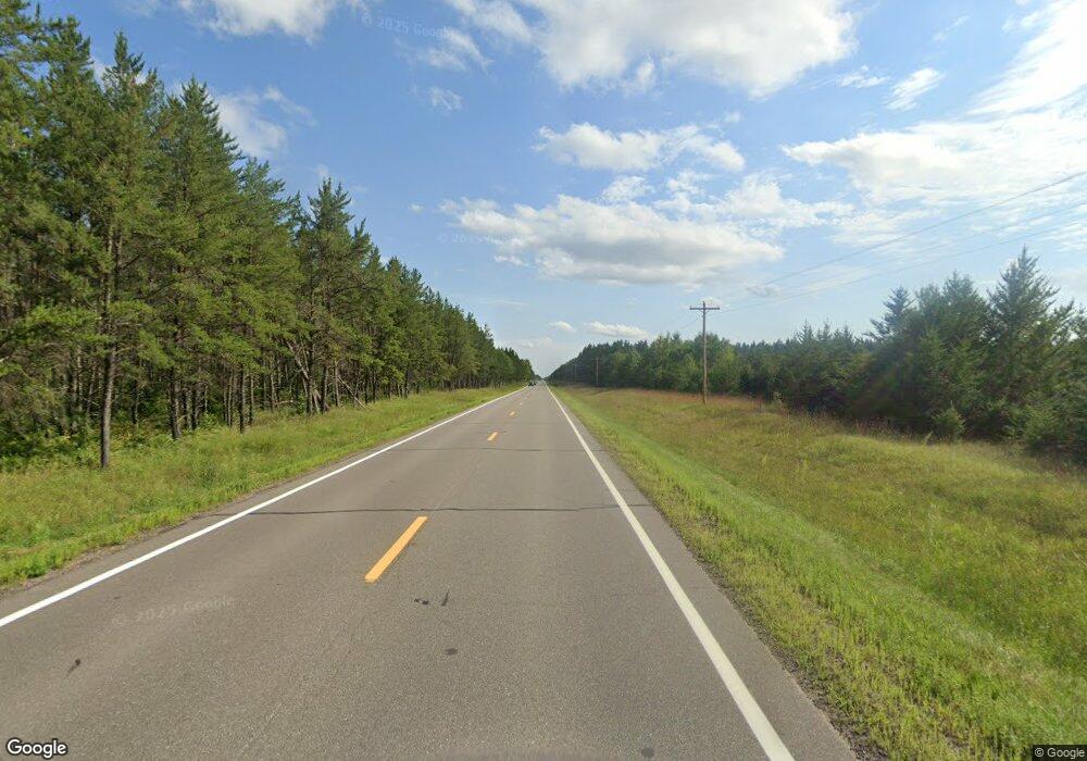
35295 State 64 Laporte, MN 56461
Estimated Value: $438,000 - $752,000
Studio
2
Baths
1,444
Sq Ft
$404/Sq Ft
Est. Value
About This Home
This home is located at 35295 State 64, Laporte, MN 56461 and is currently estimated at $583,107, approximately $403 per square foot. 35295 State 64 is a home located in Hubbard County with nearby schools including Laporte Elementary School and Laporte High School.
Ownership History
Date
Name
Owned For
Owner Type
Purchase Details
Closed on
Mar 15, 2016
Sold by
Shuster Paul L and Shuster Sharon L
Bought by
Rhubarb View Farm Llc
Current Estimated Value
Home Financials for this Owner
Home Financials are based on the most recent Mortgage that was taken out on this home.
Original Mortgage
$800,000
Outstanding Balance
$335,034
Interest Rate
2.95%
Mortgage Type
Commercial
Estimated Equity
$248,073
Purchase Details
Closed on
Jun 29, 2010
Sold by
New Cingular Wireless Pcs Llc
Bought by
American Towers Inc
Create a Home Valuation Report for This Property
The Home Valuation Report is an in-depth analysis detailing your home's value as well as a comparison with similar homes in the area
Purchase History
| Date | Buyer | Sale Price | Title Company |
|---|---|---|---|
| Rhubarb View Farm Llc | -- | None Available | |
| American Towers Inc | -- | None Available |
Source: Public Records
Mortgage History
| Date | Status | Borrower | Loan Amount |
|---|---|---|---|
| Open | Rhubarb View Farm Llc | $800,000 |
Source: Public Records
Tax History Compared to Growth
Tax History
| Year | Tax Paid | Tax Assessment Tax Assessment Total Assessment is a certain percentage of the fair market value that is determined by local assessors to be the total taxable value of land and additions on the property. | Land | Improvement |
|---|---|---|---|---|
| 2024 | $4,134 | $517,900 | $158,800 | $359,100 |
| 2023 | $3,492 | $548,400 | $140,100 | $408,300 |
| 2022 | $3,256 | $425,400 | $128,900 | $296,500 |
| 2021 | $3,154 | $370,000 | $112,100 | $257,900 |
| 2020 | $3,076 | $326,800 | $106,102 | $220,698 |
| 2019 | $3,016 | $321,700 | $96,451 | $225,249 |
| 2018 | $2,968 | $297,000 | $82,323 | $214,677 |
| 2016 | $3,900 | $312,000 | $80,409 | $231,591 |
| 2015 | $3,524 | $323,800 | $88,553 | $235,247 |
| 2014 | $3,030 | $263,300 | $97,066 | $166,234 |
Source: Public Records
Map
Nearby Homes
- 27766 County 37
- 28393 County 93
- TBD Midday Cir
- 28502 County 37
- 37276 Willow Rd N
- xxxx County 37
- 170 Main St E
- 30968 State 200
- 29866 Oxbow Ln
- 30371 Old Sunset Dr
- 32240 County 31
- 23837 State 200
- 32200 Merit School Dr
- TBD Mississippi Rd
- 39669 Old Brook Rd
- 37901 County 91
- 32847 Lilypad Landing
- 37715 Cass Line Rd
- TBD County 39 Rd
- 36155 New Melahn Dr
- TBD 346th St
- 27045 346th St
- 35059 State 64
- 26901 346th St
- 000 Hwy #64
- 35070 State 64
- 35564 State 64
- 27400 Majestic Pines Dr
- 27498 County 37
- 35496 Mint Trail
- 34973 State 64
- 35462 Mint Trail
- 27638 Majestic Pines Dr
- 27672 Majestic Pines Dr
- 35098 Mohawk Dr
- 27690 Majestic Pines Dr
- 27590 Mallard Dr
- 27596 Mallard Dr
- 27510 Mallard Dr
- 27550 Mallard Dr
