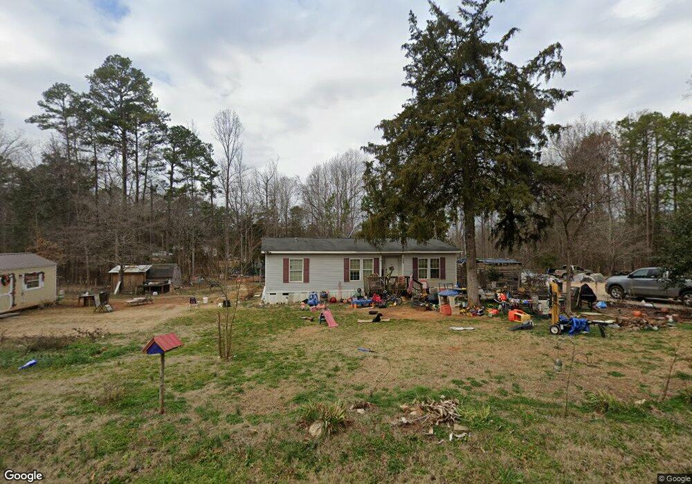
353 Beersheba Rd S Clover, SC 29710
Estimated Value: $154,583 - $300,000
--
Bed
--
Bath
1,232
Sq Ft
$192/Sq Ft
Est. Value
About This Home
This home is located at 353 Beersheba Rd S, Clover, SC 29710 and is currently estimated at $237,146, approximately $192 per square foot. 353 Beersheba Rd S is a home located in York County with nearby schools including Cotton Belt Elementary School, York Intermediate School, and York Middle School.
Ownership History
Date
Name
Owned For
Owner Type
Purchase Details
Closed on
May 14, 2008
Sold by
Meek Denise B
Bought by
Paul Sherman F
Current Estimated Value
Home Financials for this Owner
Home Financials are based on the most recent Mortgage that was taken out on this home.
Original Mortgage
$64,305
Outstanding Balance
$12,683
Interest Rate
5.86%
Mortgage Type
New Conventional
Estimated Equity
$224,463
Purchase Details
Closed on
Jul 22, 2002
Sold by
August Sisters Inc
Bought by
Meek Denise B
Create a Home Valuation Report for This Property
The Home Valuation Report is an in-depth analysis detailing your home's value as well as a comparison with similar homes in the area
Home Values in the Area
Average Home Value in this Area
Purchase History
| Date | Buyer | Sale Price | Title Company |
|---|---|---|---|
| Paul Sherman F | -- | -- | |
| Meek Denise B | $13,500 | -- |
Source: Public Records
Mortgage History
| Date | Status | Borrower | Loan Amount |
|---|---|---|---|
| Open | Paul Sherman F | $64,305 |
Source: Public Records
Tax History Compared to Growth
Tax History
| Year | Tax Paid | Tax Assessment Tax Assessment Total Assessment is a certain percentage of the fair market value that is determined by local assessors to be the total taxable value of land and additions on the property. | Land | Improvement |
|---|---|---|---|---|
| 2025 | $412 | $3,880 | $2,421 | $1,459 |
| 2024 | $259 | $3,325 | $1,543 | $1,782 |
| 2023 | $246 | $3,325 | $1,543 | $1,782 |
| 2022 | $261 | $3,325 | $1,543 | $1,782 |
| 2021 | -- | $3,325 | $1,543 | $1,782 |
| 2020 | $259 | $3,325 | $0 | $0 |
| 2019 | $244 | $3,368 | $0 | $0 |
| 2018 | $234 | $3,368 | $0 | $0 |
| 2017 | $222 | $3,368 | $0 | $0 |
| 2016 | $219 | $3,368 | $0 | $0 |
| 2014 | $238 | $3,368 | $1,388 | $1,980 |
| 2013 | $238 | $3,588 | $1,388 | $2,200 |
Source: Public Records
Map
Nearby Homes
- 0000 Black Hwy
- Tract C Cedar Grove Rd
- 2009 Sugar Hill Rd
- 357 Pendergrass Rd
- 1106 Sierra Rd
- 0 Mcgill Rd
- 791 Sutton Spring Rd
- 1657 Springlake Rd
- 1643 Mallard Bay Rd
- 1639 +1643 Mallard Bay Rd Unit 17 & 18
- 1639 Mallard Bay Rd
- Black Hwy
- 1518 Sierra Rd
- 1432 Blackbird Dr
- 1427 Blackbird Dr
- 1221 Woodpecker Dr
- 206 Covey Ct
- 1610 Sierra Rd
- 533 Mason Dickson Rd
- 484 Mason Dickson Rd
- 342 Beersheba Rd S
- 325 S Beersheba Rd
- 371 Beersheba Rd S
- 320 Beersheba Rd S
- 393 Beersheba Rd S
- 360 Beersheba Rd S
- 405 Beersheba Rd S
- 290 Beersheba Rd S
- 293 S Beersheba Rd
- 386 Beersheba Rd S
- 433 Beersheba Rd S
- 447 Beersheba Rd S
- 232 Beersheba Rd S
- 249 Beersheba Rd S
- 495 Beersheba Rd S
- 370 Beersheba Rd S
- 224 Beersheba Rd S
- 3274 Propst Rd
- 145 Beersheba Rd S
- 2798 Black Hwy