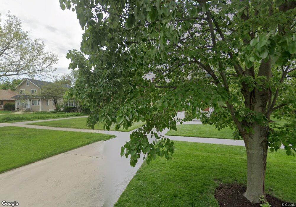
353 Blackhawk Rd Riverside, IL 60546
Estimated Value: $366,867 - $666,000
2
Beds
1
Bath
1,202
Sq Ft
$396/Sq Ft
Est. Value
About This Home
This home is located at 353 Blackhawk Rd, Riverside, IL 60546 and is currently estimated at $476,217, approximately $396 per square foot. 353 Blackhawk Rd is a home located in Cook County with nearby schools including Central Elementary School, L J Hauser Jr High School, and Riverside Brookfield High School.
Ownership History
Date
Name
Owned For
Owner Type
Purchase Details
Closed on
Aug 14, 2001
Sold by
Bartl Kseniya T
Bought by
Taheny Florence
Current Estimated Value
Home Financials for this Owner
Home Financials are based on the most recent Mortgage that was taken out on this home.
Original Mortgage
$120,000
Outstanding Balance
$44,808
Interest Rate
7.03%
Estimated Equity
$431,409
Purchase Details
Closed on
Oct 13, 1995
Sold by
Devaris Peter and Devaris Heather
Bought by
Bartl Kseniya T
Home Financials for this Owner
Home Financials are based on the most recent Mortgage that was taken out on this home.
Original Mortgage
$140,000
Interest Rate
7.8%
Create a Home Valuation Report for This Property
The Home Valuation Report is an in-depth analysis detailing your home's value as well as a comparison with similar homes in the area
Home Values in the Area
Average Home Value in this Area
Purchase History
| Date | Buyer | Sale Price | Title Company |
|---|---|---|---|
| Taheny Florence | $235,000 | -- | |
| Bartl Kseniya T | $175,500 | -- |
Source: Public Records
Mortgage History
| Date | Status | Borrower | Loan Amount |
|---|---|---|---|
| Open | Taheny Florence | $120,000 | |
| Previous Owner | Bartl Kseniya T | $140,000 |
Source: Public Records
Tax History
| Year | Tax Paid | Tax Assessment Tax Assessment Total Assessment is a certain percentage of the fair market value that is determined by local assessors to be the total taxable value of land and additions on the property. | Land | Improvement |
|---|---|---|---|---|
| 2025 | $4,127 | $29,063 | $5,900 | $23,163 |
| 2024 | $4,127 | $29,063 | $5,900 | $23,163 |
| 2023 | $5,098 | $32,000 | $5,900 | $26,100 |
| 2022 | $5,098 | $25,538 | $5,163 | $20,375 |
| 2021 | $4,770 | $25,536 | $5,162 | $20,374 |
| 2020 | $4,298 | $25,536 | $5,162 | $20,374 |
| 2019 | $4,697 | $22,293 | $4,720 | $17,573 |
| 2018 | $4,567 | $22,293 | $4,720 | $17,573 |
| 2017 | $4,342 | $22,293 | $4,720 | $17,573 |
| 2016 | $6,271 | $20,304 | $4,130 | $16,174 |
| 2015 | $6,084 | $20,304 | $4,130 | $16,174 |
| 2014 | $5,998 | $20,304 | $4,130 | $16,174 |
| 2013 | $5,744 | $21,042 | $4,130 | $16,912 |
Source: Public Records
Map
Nearby Homes
- 7336 39th St
- 289 Lawton Rd
- 7335 Oakwood Ave Unit P-10
- 7335 Oakwood Ave Unit P-12
- 7335 Oakwood Ave Unit P-8
- 7335 Oakwood Ave Unit P-11
- 7335 Oakwood Ave Unit P-14
- 3829 Wisconsin Ave
- 7316 40th St Unit P-9
- 7316 40th St Unit P-10
- 7316 40th St Unit P-13
- 7032 Pershing Rd
- 3900 Home Ave
- 3742 Clinton Ave
- 4105 Maple Ave
- 4115 S Harlem Ave Unit GE
- 3825 Kenilworth Ave
- 280 Addison Rd
- 3729 Grove Ave
- 3731 Grove Ave
- 349 Blackhawk Rd
- 365 Blackhawk Rd
- 345 Blackhawk Rd
- 369 Blackhawk Rd
- 187 S Delaplaine Rd
- 373 Blackhawk Rd
- 191 S Delaplaine Rd
- 377 Blackhawk Rd
- 165 S Delaplaine Rd
- 195 S Delaplaine Rd
- 338 Lionel Rd
- 199 S Delaplaine Rd
- 364 Blackhawk Rd
- 159 S Delaplaine Rd
- 381 Blackhawk Rd
- 368 Blackhawk Rd
- 342 Lionel Rd
- 372 Blackhawk Rd
- 330 Lionel Rd
- 157 S Delaplaine Rd
