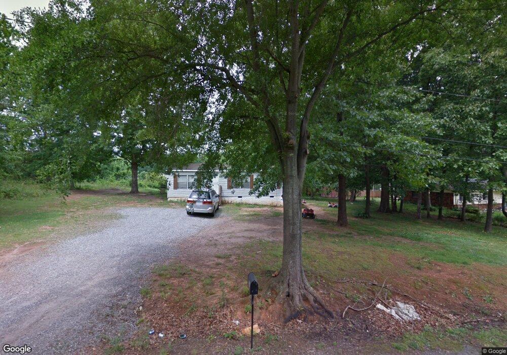
353 Don McGinnis Rd Lincolnton, NC 28092
Estimated Value: $164,000 - $265,000
2
Beds
1
Bath
1,215
Sq Ft
$174/Sq Ft
Est. Value
About This Home
This home is located at 353 Don McGinnis Rd, Lincolnton, NC 28092 and is currently estimated at $211,667, approximately $174 per square foot. 353 Don McGinnis Rd is a home located in Lincoln County with nearby schools including Norris S. Childers Elementary School, West Lincoln Middle, and West Lincoln High School.
Ownership History
Date
Name
Owned For
Owner Type
Purchase Details
Closed on
Sep 22, 2025
Sold by
Lutz Clyde Dean and Dean Lutz C
Bought by
Dean Lutz Living Trust and Lutz
Current Estimated Value
Purchase Details
Closed on
Feb 21, 2012
Sold by
Lutz C Dean and Lutz Ginger V
Bought by
Lutz C Dean
Purchase Details
Closed on
Oct 13, 2008
Sold by
Wells Fargo Bank Na
Bought by
Lutz C Dean
Purchase Details
Closed on
Dec 30, 2002
Bought by
Johnson Esther Renee
Create a Home Valuation Report for This Property
The Home Valuation Report is an in-depth analysis detailing your home's value as well as a comparison with similar homes in the area
Home Values in the Area
Average Home Value in this Area
Purchase History
| Date | Buyer | Sale Price | Title Company |
|---|---|---|---|
| Dean Lutz Living Trust | -- | None Listed On Document | |
| Lutz C Dean | -- | None Available | |
| Lutz C Dean | $18,000 | None Available | |
| Johnson Esther Renee | $20,000 | -- |
Source: Public Records
Tax History Compared to Growth
Tax History
| Year | Tax Paid | Tax Assessment Tax Assessment Total Assessment is a certain percentage of the fair market value that is determined by local assessors to be the total taxable value of land and additions on the property. | Land | Improvement |
|---|---|---|---|---|
| 2025 | $714 | $90,412 | $19,000 | $71,412 |
| 2024 | $694 | $90,412 | $19,000 | $71,412 |
| 2023 | $689 | $90,412 | $19,000 | $71,412 |
| 2022 | $514 | $52,848 | $20,000 | $32,848 |
| 2021 | $514 | $52,848 | $20,000 | $32,848 |
| 2020 | $388 | $52,848 | $20,000 | $32,848 |
| 2019 | $388 | $52,848 | $20,000 | $32,848 |
| 2018 | $435 | $45,478 | $17,500 | $27,978 |
| 2017 | $333 | $45,478 | $17,500 | $27,978 |
| 2016 | $333 | $45,478 | $17,500 | $27,978 |
| 2015 | $412 | $45,478 | $17,500 | $27,978 |
| 2014 | $424 | $48,513 | $8,625 | $39,888 |
Source: Public Records
Map
Nearby Homes
- 1338 Pell Dr
- 536 Lincolnview Rd
- 1231 Better Brook Ln
- 000 Blossom Hill Rd Unit 138
- 217 Blossom Hill Rd
- 000 Better Brook Ln
- #168 Rolling Rd
- 1074 Better Brook Ln
- 1070 N Carolina 182
- 0 N Carolina 182 Unit CAR4246688
- 743 Lore Rd
- 0 Hillard Ln
- 00 George Brown Rd Unit 10
- 00 George Brown Rd Unit 9
- 00 George Brown Rd Unit 8
- 00 George Brown Rd Unit 7
- 00 George Brown Rd Unit 6
- 00 George Brown Rd Unit 5
- 00 George Brown Rd Unit 4
- 00 George Brown Rd Unit 3
- 1324 Pell Dr
- 352 Don McGinnis Rd
- 363 Don McGinnis Rd
- 363 Don McGinnis Rd Unit 13-16
- 354 Don McGinnis Rd
- 1302 Pell Dr
- 366 Don McGinnis Rd
- 375 Don McGinnis Rd
- 367 Lincolnview Rd
- 383 Don McGinnis Rd
- 1332 Pell Dr
- 1332 Pell Dr Unit 4
- 381 Lincolnview Rd
- 341 Lincolnview Rd
- 1305 Pell Dr
- 1350 Pell Dr
- 397 Lincolnview Rd
- 1353 Pell Dr
- 1285 Pell Dr
- 401 Don McGinnis Rd