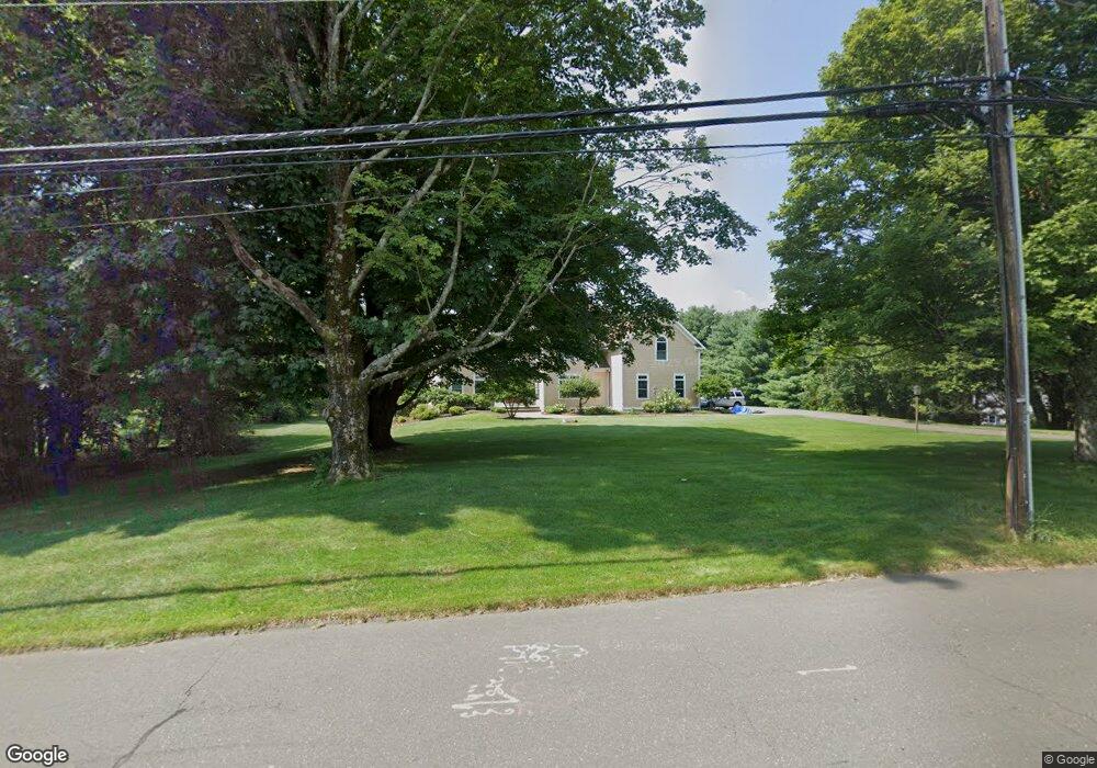
353 Firetown Rd Simsbury, CT 06070
Estimated Value: $966,857 - $1,270,000
5
Beds
4
Baths
5,141
Sq Ft
$217/Sq Ft
Est. Value
About This Home
This home is located at 353 Firetown Rd, Simsbury, CT 06070 and is currently estimated at $1,117,952, approximately $217 per square foot. 353 Firetown Rd is a home located in Hartford County with nearby schools including Squadron Line School, Henry James Memorial School, and Simsbury High School.
Ownership History
Date
Name
Owned For
Owner Type
Purchase Details
Closed on
Aug 1, 1997
Sold by
Cgr Developers Inc
Bought by
Jendrejack Robert
Current Estimated Value
Purchase Details
Closed on
Oct 15, 1996
Sold by
Denardis Lucy and Verceski Lorraine
Bought by
Pumpkin Prop Llc
Purchase Details
Closed on
Jul 10, 1996
Sold by
Grove Opportunity Fund
Bought by
Pahnos Markella
Home Financials for this Owner
Home Financials are based on the most recent Mortgage that was taken out on this home.
Original Mortgage
$90,000
Interest Rate
6.72%
Mortgage Type
Unknown
Purchase Details
Closed on
Jun 25, 1996
Sold by
Alexander Robert and Alexander Leslye
Bought by
Baldwin Mark and Baldwin Eileen
Home Financials for this Owner
Home Financials are based on the most recent Mortgage that was taken out on this home.
Original Mortgage
$90,000
Interest Rate
6.72%
Mortgage Type
Unknown
Create a Home Valuation Report for This Property
The Home Valuation Report is an in-depth analysis detailing your home's value as well as a comparison with similar homes in the area
Home Values in the Area
Average Home Value in this Area
Purchase History
| Date | Buyer | Sale Price | Title Company |
|---|---|---|---|
| Jendrejack Robert | $120,000 | -- | |
| Pumpkin Prop Llc | $15,000 | -- | |
| Pahnos Markella | $104,500 | -- | |
| Baldwin Mark | $257,000 | -- |
Source: Public Records
Mortgage History
| Date | Status | Borrower | Loan Amount |
|---|---|---|---|
| Previous Owner | Baldwin Mark | $90,000 | |
| Previous Owner | Baldwin Mark | $244,150 | |
| Previous Owner | Baldwin Mark | $25,000 |
Source: Public Records
Tax History Compared to Growth
Tax History
| Year | Tax Paid | Tax Assessment Tax Assessment Total Assessment is a certain percentage of the fair market value that is determined by local assessors to be the total taxable value of land and additions on the property. | Land | Improvement |
|---|---|---|---|---|
| 2025 | $19,120 | $559,720 | $63,000 | $496,720 |
| 2024 | $18,644 | $559,720 | $63,000 | $496,720 |
| 2023 | $17,810 | $559,720 | $63,000 | $496,720 |
| 2022 | $18,283 | $473,280 | $105,000 | $368,280 |
| 2021 | $18,283 | $473,280 | $105,000 | $368,280 |
| 2020 | $17,554 | $473,280 | $105,000 | $368,280 |
| 2019 | $17,663 | $473,280 | $105,000 | $368,280 |
| 2018 | $17,791 | $473,280 | $105,000 | $368,280 |
| 2017 | $17,528 | $452,220 | $102,310 | $349,910 |
| 2016 | $16,786 | $452,220 | $102,320 | $349,900 |
| 2015 | $16,786 | $452,220 | $102,320 | $349,900 |
| 2014 | $16,795 | $452,220 | $102,320 | $349,900 |
Source: Public Records
Map
Nearby Homes
- 324 Firetown Rd
- 9 Gretel Ln
- 2 North Dr
- 247 Old Farms Rd
- 25 Barry Ln
- 45 Hoskins Rd
- 68 Cambridge Ct
- 87 Cambridge Ct
- 64 Cambridge Ct
- 62 Cambridge Ct
- 69 Cambridge Ct
- 14 Gordon St
- 5 Washington Dr
- 14 Brettonwood Dr
- 19 Simsbury Landing
- 40 Firetown Rd Unit 39
- 4 Stonewall Dr
- 48 Library Ln Unit 48
- 47 Salmon Brook St
- 7R Stonewall Dr