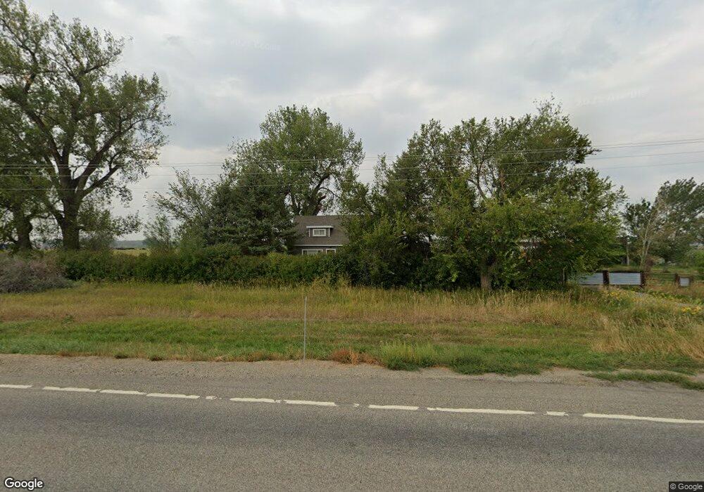
353 Highway 312 Huntley, MT 59037
Estimated Value: $423,232 - $690,000
3
Beds
2
Baths
2,048
Sq Ft
$277/Sq Ft
Est. Value
About This Home
This home is located at 353 Highway 312, Huntley, MT 59037 and is currently estimated at $566,411, approximately $276 per square foot. 353 Highway 312 is a home located in Yellowstone County with nearby schools including Huntley Project Elementary School, Huntley Project Junior High School, and Huntley Project High School.
Ownership History
Date
Name
Owned For
Owner Type
Purchase Details
Closed on
Jun 24, 2024
Sold by
Raths Gregory P and Raths Rebecca V
Bought by
Raths Family Trust and Raths
Current Estimated Value
Purchase Details
Closed on
May 20, 2011
Sold by
The Estate Of Floyd E Jones
Bought by
Raths Gregory P and Raths Rebecca V
Home Financials for this Owner
Home Financials are based on the most recent Mortgage that was taken out on this home.
Original Mortgage
$153,600
Interest Rate
4.84%
Mortgage Type
New Conventional
Create a Home Valuation Report for This Property
The Home Valuation Report is an in-depth analysis detailing your home's value as well as a comparison with similar homes in the area
Purchase History
| Date | Buyer | Sale Price | Title Company |
|---|---|---|---|
| Raths Family Trust | -- | None Listed On Document | |
| Raths Gregory P | -- | None Available |
Source: Public Records
Mortgage History
| Date | Status | Borrower | Loan Amount |
|---|---|---|---|
| Previous Owner | Raths Gregory P | $153,600 |
Source: Public Records
Tax History
| Year | Tax Paid | Tax Assessment Tax Assessment Total Assessment is a certain percentage of the fair market value that is determined by local assessors to be the total taxable value of land and additions on the property. | Land | Improvement |
|---|---|---|---|---|
| 2025 | $1,705 | $255,997 | $9,957 | $246,040 |
| 2024 | $1,705 | $187,991 | $8,171 | $179,820 |
| 2023 | $1,958 | $187,991 | $8,171 | $179,820 |
| 2022 | $1,854 | $162,776 | $0 | $0 |
| 2021 | $1,817 | $162,776 | $0 | $0 |
| 2020 | $1,760 | $151,868 | $0 | $0 |
| 2019 | $1,727 | $151,868 | $0 | $0 |
| 2018 | $1,673 | $136,248 | $0 | $0 |
| 2017 | $1,654 | $136,248 | $0 | $0 |
| 2016 | $1,499 | $130,502 | $0 | $0 |
| 2015 | $1,580 | $266,100 | $0 | $0 |
| 2014 | $2,192 | $116,123 | $0 | $0 |
Source: Public Records
Map
Nearby Homes
- 0000 Florian Ave
- 1266 Chipper Ln
- 1251 Chipper Ln
- 1246 Chipper Ln
- 0 SHepherd Road lot Shepherd Rd
- 0 Shepherd Road Lot Shepherd Rd
- 581 Squaw Creek Rd
- 6732 Pinto Dr
- 1191 Chipper Ln
- 7340 Wild Game Trail
- 6835 Eagle Bend Blvd
- 8700 Fox Run
- 7420 Whitetail Run
- 5430 Cerkoney Ln
- 7290 Whitetail Run
- 1225 Homestead Dr
- 5652 Bengston Rd
- 6447 US Highway 312
- 2285 N 9th Rd
- Lot 3 Pryor Creek Rd
Your Personal Tour Guide
Ask me questions while you tour the home.