Estimated Value: $303,000 - $367,000
Studio
--
Bath
2,785
Sq Ft
$117/Sq Ft
Est. Value
About This Home
This home is located at 353 Highway Cc, Linn, MO 65051 and is currently estimated at $327,131, approximately $117 per square foot. 353 Highway Cc is a home with nearby schools including Osage County Elementary School, Linn High School, and St. George School.
Ownership History
Date
Name
Owned For
Owner Type
Purchase Details
Closed on
Jul 29, 2025
Sold by
Wolfe Levi and Kierstin Rachelle
Bought by
Olson Ethan J and Olson Allison M
Current Estimated Value
Home Financials for this Owner
Home Financials are based on the most recent Mortgage that was taken out on this home.
Original Mortgage
$278,500
Outstanding Balance
$256,010
Interest Rate
6.84%
Mortgage Type
Construction
Estimated Equity
$71,121
Purchase Details
Closed on
Sep 25, 2009
Sold by
Lansford Charles D and Lansford Barbara
Bought by
Lansford Betty J
Create a Home Valuation Report for This Property
The Home Valuation Report is an in-depth analysis detailing your home's value as well as a comparison with similar homes in the area
Purchase History
| Date | Buyer | Sale Price | Title Company |
|---|---|---|---|
| Olson Ethan J | -- | None Listed On Document | |
| Olson Ethan J | -- | None Listed On Document | |
| Lansford Betty J | -- | -- |
Source: Public Records
Mortgage History
| Date | Status | Borrower | Loan Amount |
|---|---|---|---|
| Open | Olson Ethan J | $278,500 | |
| Closed | Olson Ethan J | $278,500 |
Source: Public Records
Tax History
| Year | Tax Paid | Tax Assessment Tax Assessment Total Assessment is a certain percentage of the fair market value that is determined by local assessors to be the total taxable value of land and additions on the property. | Land | Improvement |
|---|---|---|---|---|
| 2025 | $1,761 | $35,790 | $0 | $0 |
| 2024 | $16 | $32,384 | $0 | $0 |
| 2023 | $1,548 | $32,384 | $0 | $0 |
| 2022 | $1,596 | $31,490 | $0 | $0 |
| 2020 | $1,421 | $28,900 | $0 | $0 |
| 2019 | $1,416 | $32,080 | $0 | $0 |
| 2018 | $1,345 | $27,940 | $0 | $0 |
| 2017 | $1,352 | $27,940 | $0 | $0 |
| 2014 | -- | $27,940 | $0 | $0 |
| 2013 | -- | $27,940 | $0 | $0 |
| 2011 | -- | $27,940 | $0 | $0 |
Source: Public Records
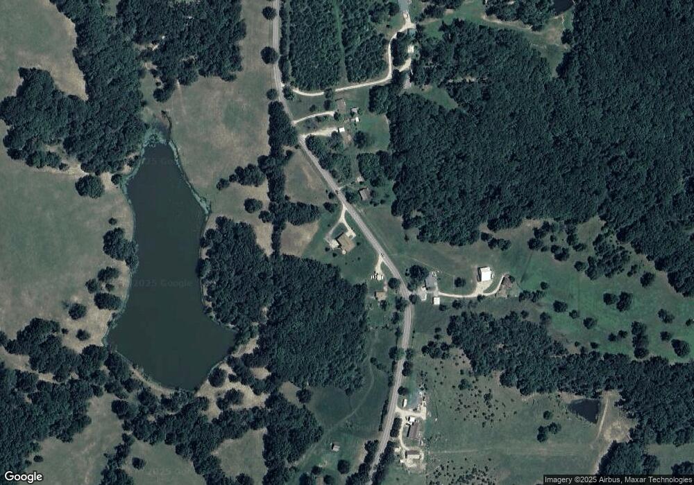
Map
Nearby Homes
- 109 Ridge Crest Dr
- 100 Stonegate Ave
- 0 County Road 620
- 118 N Linnwood Dr
- 213 Gavin Ln
- 1213 E Main St
- 113 Cedar Park Dr
- 0 Highway 50
- 28 Monroe Hills Ln
- LOT 10 Highway 89 Spur
- LOT 18 Chapel View Rd
- 2593 Hwy 50 E
- 4727 Highway 50 E
- 281 Lake Park Trail
- 118 Chambers Trail
- 4331 Highway 63
- 4331 U S 63
- 00 TBD Highway Hh
- 00 Tbd Hwy Hh
- 482 Buersmeyer Ln
- 348 Highway Cc
- 397 Highway Cc
- 314 Highway Cc
- 0 Co Rd 242 Unit 80048464
- 234 Highway Cc
- 44 Country Ln
- 224 Highway Cc
- 74 Country Ln
- 196 Highway Cc
- 623 Highway Cc
- 622 Highway Cc
- 221 Country Ln
- 101 Highway Cc
- 41 Library Ln
- 41 AND 55 Library Ln
- 682 Highway Cc
- 390 County Road 801
- 110 Ridge Crest Dr
- 354 County Road 801
- 7 County Road 802
Your Personal Tour Guide
Ask me questions while you tour the home.