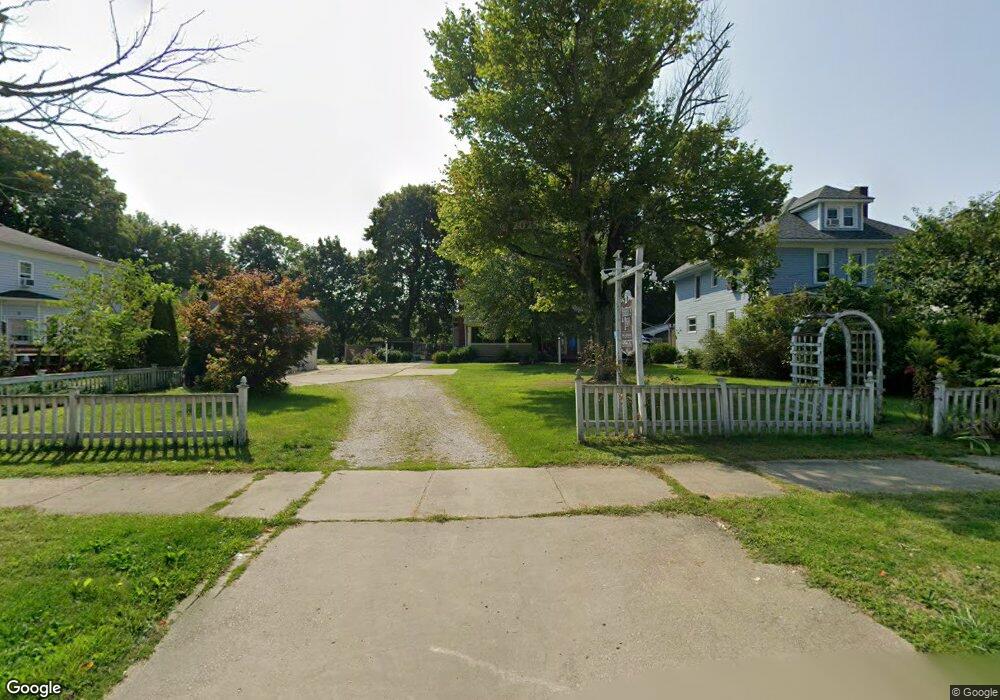
353 Liberty St Conneaut, OH 44030
Estimated Value: $114,000 - $247,000
4
Beds
4
Baths
1,715
Sq Ft
$105/Sq Ft
Est. Value
About This Home
This home is located at 353 Liberty St, Conneaut, OH 44030 and is currently estimated at $180,900, approximately $105 per square foot. 353 Liberty St is a home located in Ashtabula County with nearby schools including Lakeshore Primary Elementary School, Gateway Elementary School, and Conneaut Middle School.
Ownership History
Date
Name
Owned For
Owner Type
Purchase Details
Closed on
Aug 3, 2021
Sold by
Wing Mulchin Deborah
Bought by
Wing Mulchin Deborah
Current Estimated Value
Purchase Details
Closed on
Jul 20, 2009
Sold by
Watts April R and Watts Timothy
Bought by
Wing Mulchin Deborah
Purchase Details
Closed on
Dec 11, 2008
Sold by
Young Ronald L
Bought by
Watts April R and Young April R
Home Financials for this Owner
Home Financials are based on the most recent Mortgage that was taken out on this home.
Original Mortgage
$72,000
Interest Rate
5.09%
Mortgage Type
Unknown
Purchase Details
Closed on
Nov 5, 2005
Sold by
Mulchin Deborah J and Mulchin Nick J
Bought by
Young Ronald L and Young April R
Home Financials for this Owner
Home Financials are based on the most recent Mortgage that was taken out on this home.
Original Mortgage
$72,000
Interest Rate
5.89%
Mortgage Type
Fannie Mae Freddie Mac
Create a Home Valuation Report for This Property
The Home Valuation Report is an in-depth analysis detailing your home's value as well as a comparison with similar homes in the area
Home Values in the Area
Average Home Value in this Area
Purchase History
| Date | Buyer | Sale Price | Title Company |
|---|---|---|---|
| Wing Mulchin Deborah | -- | Franklin Blair Title Agency | |
| Wing Mulchin Deborah | -- | Buckeye Title Corporation | |
| Watts April R | -- | Attorney | |
| Young Ronald L | $90,000 | Buckeye Title |
Source: Public Records
Mortgage History
| Date | Status | Borrower | Loan Amount |
|---|---|---|---|
| Previous Owner | Watts April R | $72,000 | |
| Previous Owner | Young Ronald L | $72,000 |
Source: Public Records
Tax History Compared to Growth
Tax History
| Year | Tax Paid | Tax Assessment Tax Assessment Total Assessment is a certain percentage of the fair market value that is determined by local assessors to be the total taxable value of land and additions on the property. | Land | Improvement |
|---|---|---|---|---|
| 2024 | $2,422 | $33,110 | $3,780 | $29,330 |
| 2023 | $1,567 | $33,110 | $3,780 | $29,330 |
| 2022 | $1,369 | $25,450 | $2,910 | $22,540 |
| 2021 | $1,392 | $25,450 | $2,910 | $22,540 |
| 2020 | $1,402 | $25,660 | $3,120 | $22,540 |
| 2019 | $946 | $16,940 | $2,660 | $14,280 |
| 2018 | $903 | $16,940 | $2,660 | $14,280 |
| 2017 | $1,060 | $16,940 | $2,660 | $14,280 |
| 2016 | $1,206 | $24,720 | $3,890 | $20,830 |
| 2015 | $1,218 | $24,720 | $3,890 | $20,830 |
| 2014 | $1,078 | $24,720 | $3,890 | $20,830 |
| 2013 | $1,284 | $30,310 | $6,650 | $23,660 |
Source: Public Records
Map
Nearby Homes