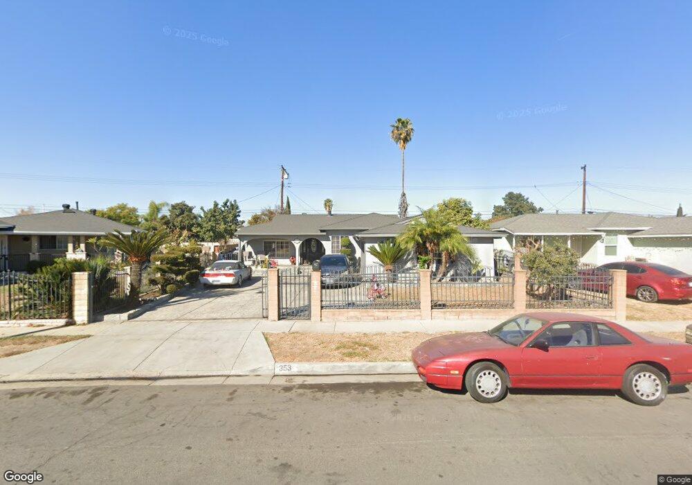
353 Melham Ave La Puente, CA 91744
Estimated Value: $687,823 - $746,000
3
Beds
1
Bath
1,373
Sq Ft
$527/Sq Ft
Est. Value
About This Home
This home is located at 353 Melham Ave, La Puente, CA 91744 and is currently estimated at $723,456, approximately $526 per square foot. 353 Melham Ave is a home located in Los Angeles County with nearby schools including Nelson Elementary School, Sparks Middle School, and La Puente High School.
Ownership History
Date
Name
Owned For
Owner Type
Purchase Details
Closed on
Aug 29, 2024
Sold by
Castro Sergio and Castro Josefina Cuevas
Bought by
Sergio Castro Torres And Josefina Castro Livi and Torres
Current Estimated Value
Purchase Details
Closed on
Mar 8, 1994
Sold by
Castro Sergio and Castro Josefina Cuevas
Bought by
Castro Sergio and Castro Josefina Cuevas
Home Financials for this Owner
Home Financials are based on the most recent Mortgage that was taken out on this home.
Original Mortgage
$129,000
Interest Rate
7.59%
Create a Home Valuation Report for This Property
The Home Valuation Report is an in-depth analysis detailing your home's value as well as a comparison with similar homes in the area
Home Values in the Area
Average Home Value in this Area
Purchase History
| Date | Buyer | Sale Price | Title Company |
|---|---|---|---|
| Sergio Castro Torres And Josefina Castro Livi | -- | None Listed On Document | |
| Castro Sergio | -- | Southland Title |
Source: Public Records
Mortgage History
| Date | Status | Borrower | Loan Amount |
|---|---|---|---|
| Previous Owner | Castro Sergio | $129,000 |
Source: Public Records
Tax History Compared to Growth
Tax History
| Year | Tax Paid | Tax Assessment Tax Assessment Total Assessment is a certain percentage of the fair market value that is determined by local assessors to be the total taxable value of land and additions on the property. | Land | Improvement |
|---|---|---|---|---|
| 2025 | $3,527 | $256,419 | $127,286 | $129,133 |
| 2024 | $3,527 | $251,392 | $124,791 | $126,601 |
| 2023 | $3,442 | $246,464 | $122,345 | $124,119 |
| 2022 | $3,347 | $241,633 | $119,947 | $121,686 |
| 2021 | $3,286 | $236,896 | $117,596 | $119,300 |
| 2019 | $3,197 | $229,871 | $114,109 | $115,762 |
| 2018 | $3,050 | $225,365 | $111,872 | $113,493 |
| 2016 | $2,831 | $216,616 | $107,529 | $109,087 |
| 2015 | $2,704 | $213,363 | $105,914 | $107,449 |
| 2014 | $2,666 | $209,185 | $103,840 | $105,345 |
Source: Public Records
Map
Nearby Homes
- 357 Cadbrook Dr
- 14940 Beckner St
- 15246 Temple Ave
- 14972 Giordano St
- 750 Glenshaw Dr
- 15416 Giordano St
- 829 Foxworth Ave
- 822 Greenberry Dr
- 14612 Hutchcroft St
- 15732 Victoria Ave
- 736 Tonopah Ave
- 932 Shadydale Ave
- 545 N 5th St
- 544 N Orange Ave Unit B
- 14510 Amar Rd Unit J
- 14421 Flynn St
- 15625 Loukelton St
- 15879 Hill St
- 15900 Rowland St
- 433 Sunkist Ave
- 357 Melham Ave
- 347 Melham Ave
- 366 Cadbrook Dr
- 358 Cadbrook Dr
- 363 Melham Ave
- 374 Cadbrook Dr
- 343 Melham Ave
- 350 Cadbrook Dr
- 352 Melham Ave
- 380 Cadbrook Dr
- 358 Melham Ave
- 403 Melham Ave
- 337 Melham Ave
- 342 Cadbrook Dr
- 342 Melham Ave
- 364 Melham Ave
- 404 Cadbrook Dr
- 336 Cadbrook Dr
- 330 Melham Ave
- 409 Melham Ave