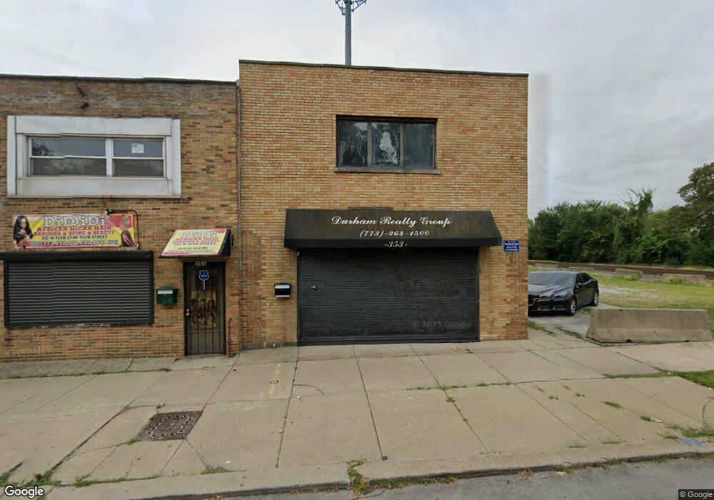
353 W 95th St Chicago, IL 60628
Roseland NeighborhoodEstimated Value: $202,000 - $399,000
6
Beds
4
Baths
3,463
Sq Ft
$87/Sq Ft
Est. Value
About This Home
This home is located at 353 W 95th St, Chicago, IL 60628 and is currently estimated at $300,500, approximately $86 per square foot. 353 W 95th St is a home located in Cook County with nearby schools including Gillespie Elementary School, Harlan Community Academy High School, and Christian S T E M Scholars.
Ownership History
Date
Name
Owned For
Owner Type
Purchase Details
Closed on
Mar 16, 1998
Sold by
Simpson Clinton O and Simpson Lizzie E
Bought by
Durham Susan C
Current Estimated Value
Home Financials for this Owner
Home Financials are based on the most recent Mortgage that was taken out on this home.
Original Mortgage
$95,815
Outstanding Balance
$16,096
Interest Rate
7.15%
Mortgage Type
FHA
Estimated Equity
$284,404
Create a Home Valuation Report for This Property
The Home Valuation Report is an in-depth analysis detailing your home's value as well as a comparison with similar homes in the area
Home Values in the Area
Average Home Value in this Area
Purchase History
| Date | Buyer | Sale Price | Title Company |
|---|---|---|---|
| Durham Susan C | $50,000 | -- |
Source: Public Records
Mortgage History
| Date | Status | Borrower | Loan Amount |
|---|---|---|---|
| Open | Durham Susan C | $95,815 |
Source: Public Records
Tax History
| Year | Tax Paid | Tax Assessment Tax Assessment Total Assessment is a certain percentage of the fair market value that is determined by local assessors to be the total taxable value of land and additions on the property. | Land | Improvement |
|---|---|---|---|---|
| 2025 | $1,961 | $19,000 | $5,105 | $13,895 |
| 2024 | $1,961 | $19,000 | $5,105 | $13,895 |
| 2023 | $2,203 | $12,586 | $4,031 | $8,555 |
| 2022 | $2,203 | $14,101 | $4,031 | $10,070 |
| 2021 | $2,172 | $14,100 | $4,030 | $10,070 |
| 2020 | $2,644 | $14,943 | $4,030 | $10,913 |
| 2019 | $3,015 | $18,395 | $4,030 | $14,365 |
| 2018 | $2,962 | $18,395 | $4,030 | $14,365 |
| 2017 | $3,948 | $21,674 | $3,493 | $18,181 |
| 2016 | $3,850 | $21,674 | $3,493 | $18,181 |
| 2015 | $3,648 | $22,484 | $3,493 | $18,991 |
| 2014 | $2,501 | $16,016 | $3,224 | $12,792 |
| 2013 | $2,916 | $18,627 | $3,224 | $15,403 |
Source: Public Records
Map
Nearby Homes
- 9516 S Yale Ave
- 9534 S Yale Ave
- 9407 S Normal Ave
- 9630 S Yale Ave
- 9430 S Parnell Ave
- 549 W 95th St
- 9633 S Yale Ave
- 9720 S Princeton Ave
- 9627 S Wallace St
- 9608 S Wallace St
- 9610 S Wallace St
- 9521 S La Salle St
- 9747 S Harvard Ave
- 443 W 97th Place
- 420 W 98th St
- 9240 S Normal Ave
- 9238 S Normal Ave
- 9426 S Lowe Ave
- 9254 S Parnell Ave
- 431 W 98th St
- 353 W 95th St
- 353 W 95th St Unit 1
- 351 W 95th St
- 349 W 95th St
- 345 W 95th St
- 9514 S Harvard Ave
- 9512 S Harvard Ave
- 401 W 95th St
- 401 W 95th St Unit 417
- 401 W 95th St Unit 419
- 401 W 95th St Unit R
- 419 W 95th St Unit 2
- 419 W 95th St
- 325 W 95th St
- 400 W 95th Place
- 419 W 95th St
- 417 W 95th St Unit 2
- 417 W 95th St
- 404 W 95th Place
- 441 W 95th St
Your Personal Tour Guide
Ask me questions while you tour the home.