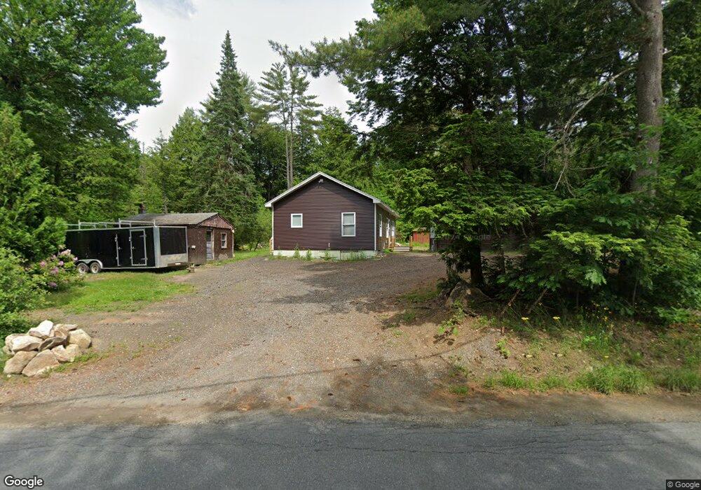
353 W Unity Rd Claremont, NH 03743
Estimated Value: $264,000 - $297,000
2
Beds
1
Bath
961
Sq Ft
$293/Sq Ft
Est. Value
About This Home
This home is located at 353 W Unity Rd, Claremont, NH 03743 and is currently estimated at $281,189, approximately $292 per square foot. 353 W Unity Rd is a home with nearby schools including Unity Elementary School.
Ownership History
Date
Name
Owned For
Owner Type
Purchase Details
Closed on
Jul 6, 2005
Sold by
Ruggles Dennis E and Ruggles Mary T
Bought by
Sharron Richard E and Sharron Ingeborg A
Current Estimated Value
Home Financials for this Owner
Home Financials are based on the most recent Mortgage that was taken out on this home.
Original Mortgage
$117,200
Outstanding Balance
$15,951
Interest Rate
6%
Mortgage Type
Adjustable Rate Mortgage/ARM
Estimated Equity
$265,238
Create a Home Valuation Report for This Property
The Home Valuation Report is an in-depth analysis detailing your home's value as well as a comparison with similar homes in the area
Home Values in the Area
Average Home Value in this Area
Purchase History
| Date | Buyer | Sale Price | Title Company |
|---|---|---|---|
| Sharron Richard E | $146,500 | -- |
Source: Public Records
Mortgage History
| Date | Status | Borrower | Loan Amount |
|---|---|---|---|
| Open | Sharron Richard E | $117,200 |
Source: Public Records
Tax History Compared to Growth
Tax History
| Year | Tax Paid | Tax Assessment Tax Assessment Total Assessment is a certain percentage of the fair market value that is determined by local assessors to be the total taxable value of land and additions on the property. | Land | Improvement |
|---|---|---|---|---|
| 2024 | $3,983 | $228,500 | $90,300 | $138,200 |
| 2023 | $3,835 | $128,000 | $61,400 | $66,600 |
| 2022 | $3,711 | $128,000 | $61,400 | $66,600 |
| 2021 | $3,663 | $128,000 | $61,400 | $66,600 |
| 2020 | $3,556 | $128,000 | $61,400 | $66,600 |
| 2019 | $3,647 | $128,000 | $61,400 | $66,600 |
| 2018 | $3,814 | $127,400 | $56,000 | $71,400 |
| 2017 | $3,684 | $127,400 | $56,000 | $71,400 |
| 2016 | $3,839 | $127,400 | $56,000 | $71,400 |
| 2015 | $3,515 | $127,400 | $56,000 | $71,400 |
| 2014 | $3,367 | $127,400 | $56,000 | $71,400 |
| 2013 | $3,107 | $125,800 | $35,000 | $90,800 |
Source: Public Records
Map
Nearby Homes
- 004 W Unity Rd
- 003 W Unity Rd
- 02 W Unity Rd
- 741 2nd Nh Turnpike
- 00 Stage Rd Unit 440
- 550 Nh Rte 11-103
- 275 Mica Mine Rd
- 495 Mica Mine Rd
- 3910 Claremont Rd
- 3507 Claremont Rd
- 0 Peperes Rd Unit 24.10
- 0 Peperes Rd Unit 93
- 17 Pappas Rd
- 87 Old Chandlers Mills Rd
- 23 Potato Hill Rd
- 189 S Hedgehog Hill Rd
- 81 River Rd
- 3 Treeline Dr
- 237 Halls Pond Rd
- 16 Cherry Hill Rd
- 343 W Unity Rd
- 28 Gibsons Way
- 266 W Unity Rd
- 288 W Unity Rd
- 391 W Unity Rd
- 23 Gibsons Way
- 407 W Unity Rd
- 405 W Unity Rd
- 477 Cold Pond Rd
- 123 Britton Rd
- 107 Sparling Hill Rd
- 433 W Unity Rd
- 153 Britton Rd
- 107 Britton Rd
- 97 Britton Rd
- 141 Sparling Hill Rd
- 128 Britton Rd
- 186 Britton Rd
- 108 Britton Rd
- 192 County Farm Rd