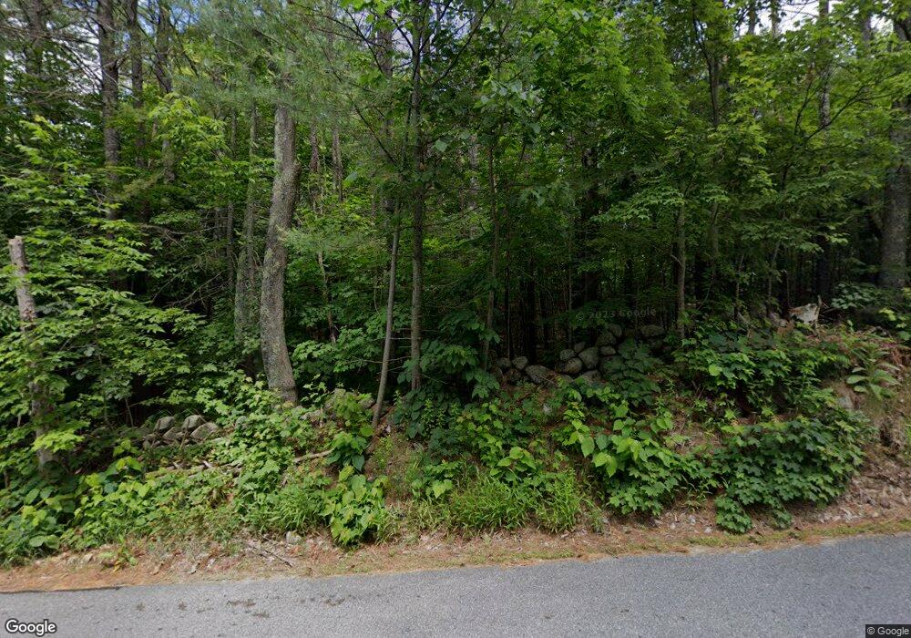
353 Windsor Rd Hillsborough, NH 03244
Hillsboro NeighborhoodEstimated Value: $570,000 - $775,098
4
Beds
4
Baths
3,929
Sq Ft
$173/Sq Ft
Est. Value
About This Home
This home is located at 353 Windsor Rd, Hillsborough, NH 03244 and is currently estimated at $680,033, approximately $173 per square foot. 353 Windsor Rd is a home located in Hillsborough County with nearby schools including Hillsboro-Deering Elementary School, Hillsboro-Deering High School, and Hillsboro Christian School.
Ownership History
Date
Name
Owned For
Owner Type
Purchase Details
Closed on
Oct 31, 2003
Sold by
Alexander Scot
Bought by
Reeping Christopher V
Current Estimated Value
Home Financials for this Owner
Home Financials are based on the most recent Mortgage that was taken out on this home.
Original Mortgage
$200,000
Interest Rate
6.05%
Mortgage Type
Purchase Money Mortgage
Create a Home Valuation Report for This Property
The Home Valuation Report is an in-depth analysis detailing your home's value as well as a comparison with similar homes in the area
Home Values in the Area
Average Home Value in this Area
Purchase History
| Date | Buyer | Sale Price | Title Company |
|---|---|---|---|
| Reeping Christopher V | $255,000 | -- |
Source: Public Records
Mortgage History
| Date | Status | Borrower | Loan Amount |
|---|---|---|---|
| Open | Reeping Christopher V | $300,000 | |
| Closed | Reeping Christopher V | $200,000 |
Source: Public Records
Tax History Compared to Growth
Tax History
| Year | Tax Paid | Tax Assessment Tax Assessment Total Assessment is a certain percentage of the fair market value that is determined by local assessors to be the total taxable value of land and additions on the property. | Land | Improvement |
|---|---|---|---|---|
| 2024 | $12,209 | $365,094 | $67,494 | $297,600 |
| 2023 | $11,402 | $365,213 | $67,613 | $297,600 |
| 2022 | $9,759 | $365,636 | $68,036 | $297,600 |
| 2021 | $10,574 | $365,636 | $68,036 | $297,600 |
| 2020 | $7,821 | $365,588 | $67,988 | $297,600 |
| 2018 | $9,973 | $338,068 | $57,968 | $280,100 |
| 2017 | $10,293 | $337,821 | $57,721 | $280,100 |
| 2016 | $9,802 | $332,063 | $52,763 | $279,300 |
| 2015 | $9,648 | $332,124 | $52,824 | $279,300 |
| 2014 | $9,170 | $332,746 | $53,446 | $279,300 |
| 2013 | $9,336 | $332,705 | $89,800 | $242,905 |
Source: Public Records
Map
Nearby Homes
- M7/L28 Stowe Mountain Rd
- 00 Windsor Rd Unit 21
- 162 Rocky Ledge Rd
- 134 Hall Rd
- 298 2nd New Hampshire Turnpike Unit 10-038-000
- 298 2nd New Hampshire Turnpike
- 6 McColley Rd
- 237 2nd New Hampshire Turnpike
- Lot 14 Old Mill Farm Rd
- 204 Keene Rd
- Lot 77-7 E Washington Rd
- 2379 E Washington Rd
- 2167 Valley Rd
- 447 Center Rd
- 1016 Shedd Hill Rd
- 0 Center Rd
- 2381 E Washington Rd
- 906 Shedd Hill Rd
- 0 Route 202 Route Unit 4983445
- 0 W Main St Unit 1
- 369 Windsor Rd
- 370 Windsor Rd
- 358 Windsor Rd
- 33 Valhalla Farm Rd
- 345 Windsor Rd
- 407 Windsor Rd
- 410 Windsor Rd
- 39 Valhalla Farm Rd
- 0 Valhalla Farm Rd
- Lot 3-5 Valhalla Farm Rd
- Lot 3-6 Valhalla Farm Rd
- 418 Windsor Rd
- 335 Windsor Rd
- 45 Valhalla Farm Rd
- 37 Valhalla Farm Rd
- 332 Windsor Rd
- 51 Valhalla Farm Rd
- 49 Valhalla Farm Rd
- 61 Valhalla Farm Rd
- 322 Windsor Rd
