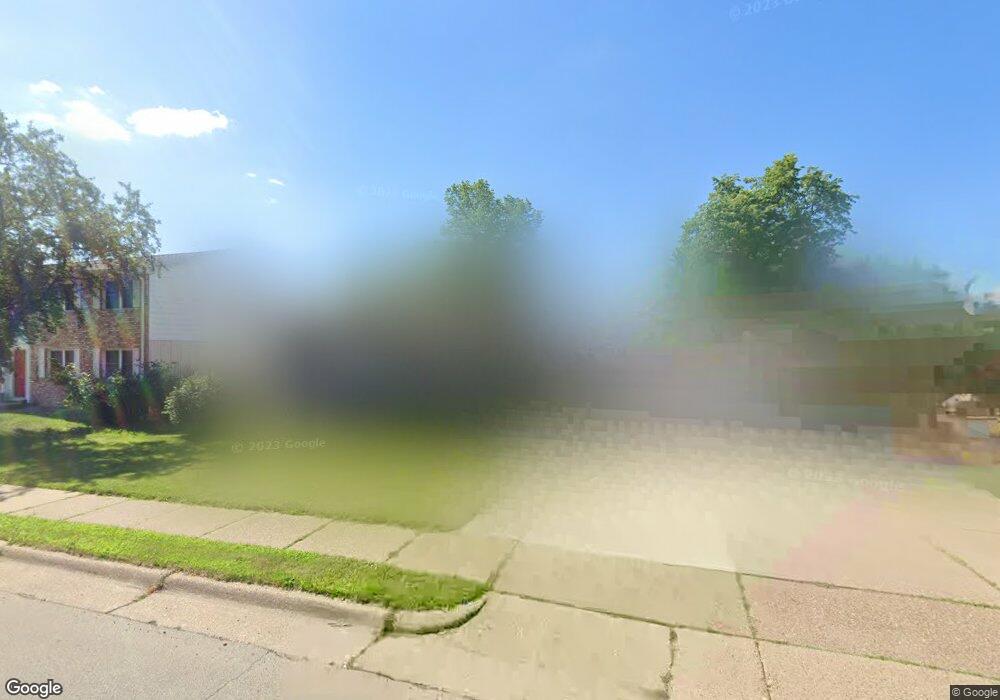
3530 Hillcrest Rd Dubuque, IA 52002
Estimated Value: $274,000 - $283,124
4
Beds
3
Baths
1,316
Sq Ft
$211/Sq Ft
Est. Value
About This Home
This home is located at 3530 Hillcrest Rd, Dubuque, IA 52002 and is currently estimated at $277,031, approximately $210 per square foot. 3530 Hillcrest Rd is a home located in Dubuque County with nearby schools including John Kennedy Elementary School, Eleanor Roosevelt Middle School, and Hempstead High School.
Ownership History
Date
Name
Owned For
Owner Type
Purchase Details
Closed on
Oct 22, 2014
Sold by
Pusateri Joel and Pusateri Patricia
Bought by
Pusateri Nicholas J and Silver Leaf Trust
Current Estimated Value
Purchase Details
Closed on
Jun 4, 2012
Sold by
Pusateri Nicholas J
Bought by
Pusateri Joel and Pusateri Patricia
Purchase Details
Closed on
May 4, 2009
Sold by
Pusateri Joel and Pusateri Patricia
Bought by
Lawrence David C and Beyond Freedom Trust
Create a Home Valuation Report for This Property
The Home Valuation Report is an in-depth analysis detailing your home's value as well as a comparison with similar homes in the area
Purchase History
| Date | Buyer | Sale Price | Title Company |
|---|---|---|---|
| Pusateri Nicholas J | -- | None Available | |
| Pusateri Joel | -- | None Available | |
| Lawrence David C | -- | None Available |
Source: Public Records
Tax History
| Year | Tax Paid | Tax Assessment Tax Assessment Total Assessment is a certain percentage of the fair market value that is determined by local assessors to be the total taxable value of land and additions on the property. | Land | Improvement |
|---|---|---|---|---|
| 2025 | $3,542 | $271,100 | $46,900 | $224,200 |
| 2024 | $3,542 | $246,300 | $40,800 | $205,500 |
| 2023 | $3,438 | $246,300 | $40,800 | $205,500 |
| 2022 | $3,290 | $198,970 | $36,720 | $162,250 |
| 2021 | $3,290 | $198,970 | $36,720 | $162,250 |
| 2020 | $3,170 | $178,250 | $36,720 | $141,530 |
| 2019 | $3,166 | $178,250 | $36,720 | $141,530 |
| 2018 | $3,116 | $170,240 | $36,720 | $133,520 |
| 2017 | $2,988 | $170,240 | $36,720 | $133,520 |
| 2016 | $2,926 | $154,690 | $36,720 | $117,970 |
| 2015 | $2,926 | $154,690 | $36,720 | $117,970 |
| 2014 | $2,764 | $150,150 | $36,720 | $113,430 |
Source: Public Records
Map
Nearby Homes
- 3470 Hillcrest Rd Unit 13
- 2071 Ellen St
- 1804 Norland Dr
- 2204 Graham Cir
- 2281 Pasadena #57 Dr
- 2305 Pasadena #67 Dr
- 2315 Pasadena Dr
- 3098 Foothill Ct
- 3463 Kimberly Dr
- 1780 Horizon Ct
- 2330 Evergreen Dr
- 1765 Eden Ln
- 2160 Avalon Rd
- 1921 Avalon Rd
- 2035 Broadlawn Rd
- 1930 Saint Anne Ct
- 2665 Marywood Dr
- 0 Associates Dr
- 2935 Van Buren St
- 2930 Kane #1 St
- 3522 Hillcrest Rd
- 2062 Saint John Dr
- 3540 Hillcrest Rd
- 2052 St John Dr
- 2069 Key Largo Dr
- 2052 Saint John Dr
- 2063 Saint John Dr
- 3535 Hillcrest Rd
- 2053 St John Dr
- 3521 Hillcrest Rd
- 3550 Hillcrest Rd
- 2051 Key Largo Dr
- 2053 Saint John Dr
- 3547 Hillcrest Rd
- 2040 Saint John Dr
- 2043 St John Dr
- 2043 Saint John Dr
- 2031 Key Largo Dr
- 2064 Woodrow Dr
- 3570 Hillcrest Rd
Your Personal Tour Guide
Ask me questions while you tour the home.