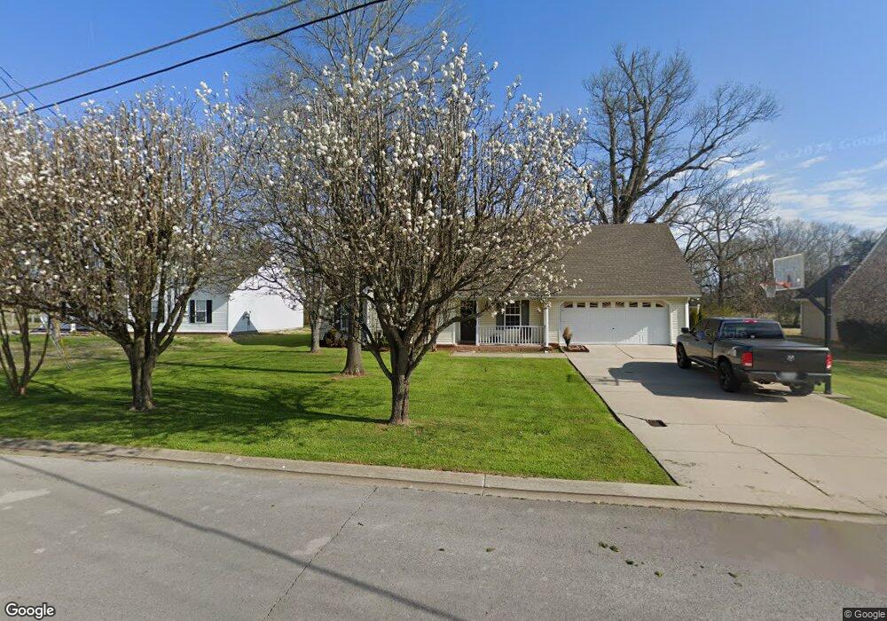
3531 Paulownia Cir Murfreesboro, TN 37129
Estimated Value: $319,539 - $360,000
--
Bed
2
Baths
1,322
Sq Ft
$261/Sq Ft
Est. Value
About This Home
This home is located at 3531 Paulownia Cir, Murfreesboro, TN 37129 and is currently estimated at $345,635, approximately $261 per square foot. 3531 Paulownia Cir is a home located in Rutherford County with nearby schools including Brown's Chapel Elementary School, Northfield Elementary School, and Blackman Middle School.
Ownership History
Date
Name
Owned For
Owner Type
Purchase Details
Closed on
Nov 26, 2008
Sold by
Frey Chris S
Bought by
Brewer Jamie Y
Current Estimated Value
Home Financials for this Owner
Home Financials are based on the most recent Mortgage that was taken out on this home.
Original Mortgage
$142,093
Outstanding Balance
$95,027
Interest Rate
6.38%
Estimated Equity
$250,608
Create a Home Valuation Report for This Property
The Home Valuation Report is an in-depth analysis detailing your home's value as well as a comparison with similar homes in the area
Home Values in the Area
Average Home Value in this Area
Purchase History
| Date | Buyer | Sale Price | Title Company |
|---|---|---|---|
| Brewer Jamie Y | $142,900 | -- |
Source: Public Records
Mortgage History
| Date | Status | Borrower | Loan Amount |
|---|---|---|---|
| Open | Brewer Jamie Y | $142,093 |
Source: Public Records
Tax History Compared to Growth
Tax History
| Year | Tax Paid | Tax Assessment Tax Assessment Total Assessment is a certain percentage of the fair market value that is determined by local assessors to be the total taxable value of land and additions on the property. | Land | Improvement |
|---|---|---|---|---|
| 2025 | $2,022 | $71,450 | $13,750 | $57,700 |
| 2024 | $2,022 | $71,450 | $13,750 | $57,700 |
| 2023 | $1,341 | $71,450 | $13,750 | $57,700 |
| 2022 | $1,158 | $71,650 | $13,750 | $57,900 |
| 2021 | $1,076 | $48,475 | $8,750 | $39,725 |
| 2020 | $1,076 | $48,475 | $8,750 | $39,725 |
| 2019 | $1,076 | $48,475 | $8,750 | $39,725 |
| 2018 | $1,478 | $48,475 | $0 | $0 |
| 2017 | $1,402 | $36,075 | $0 | $0 |
| 2016 | $1,402 | $36,075 | $0 | $0 |
| 2015 | $1,402 | $36,075 | $0 | $0 |
| 2014 | $897 | $36,075 | $0 | $0 |
| 2013 | -- | $36,325 | $0 | $0 |
Source: Public Records
Map
Nearby Homes
- 4913 Camborne Cir
- 5224 Grassland Dr
- 5064 Tricia Place
- 2947 Hollicom Dr
- 5120 Prickly Pine Place
- 5342 Keystone Ct
- 5132 Prickly Pine Place
- 4936 Laura Jeanne Blvd
- 4908 Laura Jeanne Blvd
- 4838 Laura Jeanne Blvd
- 4321 Huntwood Dr
- 4922 Mowbray Way
- 4926 Mowbray Way
- 4933 Leybourne Ln
- 4858 Chelanie Cir
- 4859 Chelanie Cir
- 3033 Asbury Rd
- 6826 Chatsworth Ct
- 4835 Octavia St
- MEDFORD Plan at River Landing - Townhomes
- 3527 Paulownia Cir
- 3535 Paulownia Cir
- 3516 Paulownia Cir
- 3532 Paulownia Cir
- 3523 Paulownia Cir
- 3519 Paulownia Cir
- 3512 Paulownia Cir
- 3515 Paulownia Cir
- 3536 Paulownia Cir
- 3543 Paulownia Cir
- 3540 Paulownia Cir
- 3511 Paulownia Cir
- 3508 Paulownia Cir
- 3518 Crape Cir
- 3522 Crape Cir
- 3544 Paulownia Cir
- 3514 Crape Cir
- 3507 Paulownia Cir
- 5102 Chippendale Dr
- 3510 Crape Cir