35311 Conway Rd Coarsegold, CA 93614
Estimated Value: $442,000 - $523,684
3
Beds
2
Baths
2,110
Sq Ft
$230/Sq Ft
Est. Value
About This Home
This home is located at 35311 Conway Rd, Coarsegold, CA 93614 and is currently estimated at $485,421, approximately $230 per square foot. 35311 Conway Rd is a home located in Madera County.
Ownership History
Date
Name
Owned For
Owner Type
Purchase Details
Closed on
May 25, 2011
Sold by
Fannie Mae
Bought by
Thompson William and Thompson Patricia
Current Estimated Value
Purchase Details
Closed on
Jul 16, 2010
Sold by
Shackelford Alan and Shackelford Mary
Bought by
Federal National Mortgage Association
Purchase Details
Closed on
Mar 25, 2005
Sold by
Ditton Bradford D
Bought by
Shackelford Alan and Shackelford Mary
Purchase Details
Closed on
Dec 21, 2004
Sold by
Hill Janet Conway
Bought by
Ditton Bradford D
Home Financials for this Owner
Home Financials are based on the most recent Mortgage that was taken out on this home.
Original Mortgage
$90,000
Interest Rate
5.79%
Mortgage Type
Seller Take Back
Create a Home Valuation Report for This Property
The Home Valuation Report is an in-depth analysis detailing your home's value as well as a comparison with similar homes in the area
Home Values in the Area
Average Home Value in this Area
Purchase History
| Date | Buyer | Sale Price | Title Company |
|---|---|---|---|
| Thompson William | $186,000 | Old Republic Title Company | |
| Federal National Mortgage Association | $423,786 | Accommodation | |
| Shackelford Alan | -- | Chicago Title | |
| Ditton Bradford D | $120,000 | Chicago Title |
Source: Public Records
Mortgage History
| Date | Status | Borrower | Loan Amount |
|---|---|---|---|
| Previous Owner | Ditton Bradford D | $90,000 |
Source: Public Records
Tax History Compared to Growth
Tax History
| Year | Tax Paid | Tax Assessment Tax Assessment Total Assessment is a certain percentage of the fair market value that is determined by local assessors to be the total taxable value of land and additions on the property. | Land | Improvement |
|---|---|---|---|---|
| 2025 | $2,484 | $238,286 | $96,082 | $142,204 |
| 2023 | $2,484 | $229,035 | $92,352 | $136,683 |
| 2022 | $2,430 | $224,545 | $90,542 | $134,003 |
| 2021 | $2,382 | $220,143 | $88,767 | $131,376 |
| 2020 | $2,373 | $217,886 | $87,857 | $130,029 |
| 2019 | $2,331 | $213,615 | $86,135 | $127,480 |
| 2018 | $2,282 | $209,428 | $84,447 | $124,981 |
| 2017 | $2,249 | $205,323 | $82,792 | $122,531 |
| 2016 | $2,175 | $201,298 | $81,169 | $120,129 |
| 2015 | $2,143 | $198,275 | $79,950 | $118,325 |
| 2014 | $2,113 | $194,392 | $78,384 | $116,008 |
Source: Public Records
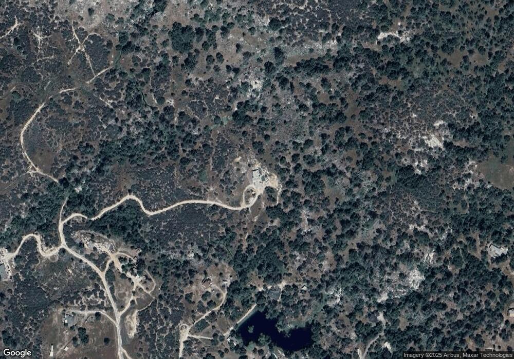
Map
Nearby Homes
- 43867 Trabuco Ct
- 43310 Werney Rd
- 80 City View Dr
- 40 City View Dr
- 36515 Wells Rd
- 43972 Wells Rd W
- 44677 Road 415
- 45318 Road 415
- 36530 Monarch Canyon Rd
- 234 Jennifer Way
- 123 Jennifer Way
- 33867 Jennifer Ct
- 46041 Road 415 Unit 140
- 46041 Road 415 Unit 27
- 46041 Road 415 Unit 179
- 33032 Mill Creek Way
- 0 Veater Ranch Rd
- 0 Road 415 Unit 636789
- 0 Stone Ridge Ln
- 43755 Trabuco Rd
- 43763 Trabuco Rd
- 35141 Conway Rd
- 0 39.22 Conway
- 43893 Trabuco Rd
- 43941 Trabuco Rd
- 43865 Trabuco Rd
- 35138 Conway Rd
- 43944 Trabuco Rd
- 35222 Ocb Mine Rd
- 35176 Conway Rd
- 35054 Conway Rd
- 43834 Trabuco Rd
- 35154 Ocb Mine Rd
- 43739 Trabuco Rd
- 35074 Ocb Mine Rd
- 43738 Woody Way
- 35010 Ocb Mine Rd
- 4 Franklin Rd
- 0 Franklin Rd Unit 573722