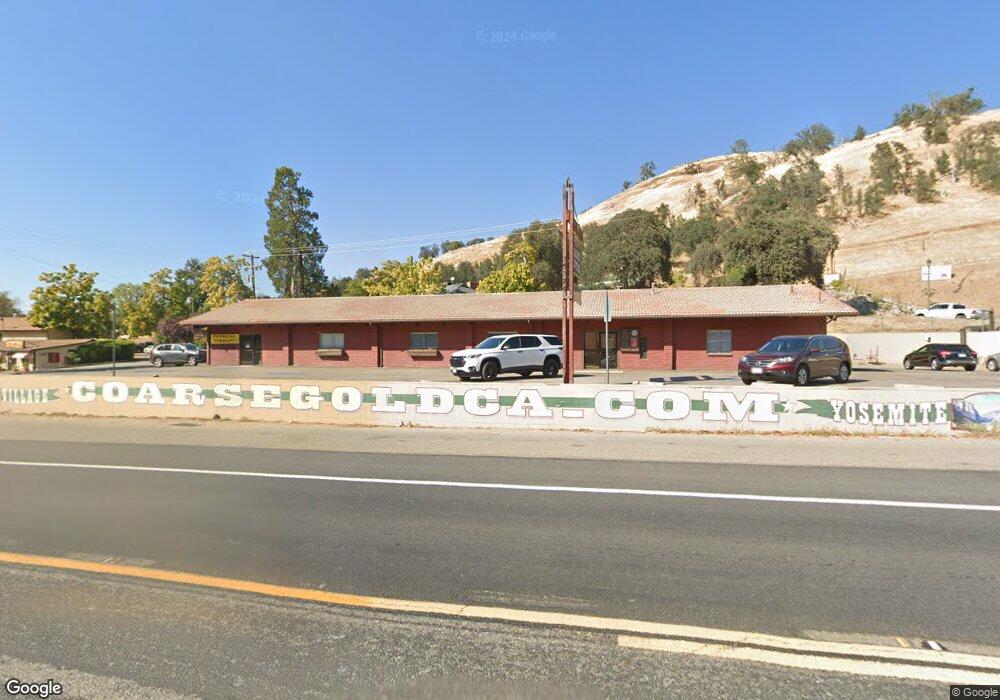
35324 Highway 41 Coarsegold, CA 93614
--
Bed
--
Bath
1,920
Sq Ft
0.52
Acres
About This Home
This home is located at 35324 Highway 41, Coarsegold, CA 93614. 35324 Highway 41 is a home located in Madera County.
Ownership History
Date
Name
Owned For
Owner Type
Purchase Details
Closed on
Sep 27, 2012
Sold by
City National Bank
Bought by
Boland John R and John R Boland Trust
Purchase Details
Closed on
May 17, 2011
Sold by
Busse Patrick R and Shelton Barbara G
Bought by
City National Bank
Purchase Details
Closed on
Oct 12, 2005
Sold by
Shelton Barbara G and Busse Patrick R
Bought by
Busse Patrick R and Shelton Barbara G
Home Financials for this Owner
Home Financials are based on the most recent Mortgage that was taken out on this home.
Original Mortgage
$406,247
Interest Rate
5.63%
Mortgage Type
Construction
Purchase Details
Closed on
Mar 28, 2000
Sold by
Bryan Robert P and Bryan La Neta
Bought by
Busse Patrick R and Busse Barbara G
Home Financials for this Owner
Home Financials are based on the most recent Mortgage that was taken out on this home.
Original Mortgage
$391,000
Interest Rate
8.27%
Mortgage Type
Commercial
Create a Home Valuation Report for This Property
The Home Valuation Report is an in-depth analysis detailing your home's value as well as a comparison with similar homes in the area
Home Values in the Area
Average Home Value in this Area
Purchase History
| Date | Buyer | Sale Price | Title Company |
|---|---|---|---|
| Boland John R | $125,000 | Chicago Title Company | |
| City National Bank | $138,086 | Stewart Title | |
| Busse Patrick R | -- | Fidelity | |
| Busse Patrick R | $290,000 | First American Title |
Source: Public Records
Mortgage History
| Date | Status | Borrower | Loan Amount |
|---|---|---|---|
| Previous Owner | Busse Patrick R | $406,247 | |
| Previous Owner | Busse Patrick R | $391,000 |
Source: Public Records
Tax History Compared to Growth
Tax History
| Year | Tax Paid | Tax Assessment Tax Assessment Total Assessment is a certain percentage of the fair market value that is determined by local assessors to be the total taxable value of land and additions on the property. | Land | Improvement |
|---|---|---|---|---|
| 2025 | $1,444 | $320,984 | $139,143 | $181,841 |
| 2023 | $1,444 | $308,264 | $133,741 | $174,523 |
| 2022 | $1,410 | $300,402 | $131,119 | $169,283 |
| 2021 | $1,381 | $296,061 | $128,549 | $167,512 |
| 2020 | $1,376 | $293,068 | $127,231 | $165,837 |
| 2019 | $3,002 | $287,402 | $124,737 | $162,665 |
| 2018 | $2,934 | $281,657 | $122,292 | $159,365 |
| 2017 | $2,271 | $217,050 | $119,895 | $97,155 |
| 2016 | $2,190 | $212,525 | $117,545 | $94,980 |
| 2015 | $2,191 | $170,667 | $115,780 | $54,887 |
| 2014 | $1,730 | $167,079 | $113,513 | $53,566 |
Source: Public Records
Map
Nearby Homes
- 0 0 Unit IV24173054
- 46455 Konklin Rd
- 35441 Highway 41
- 35680 Forest Dr
- 46041 Road 415 Unit 27
- 46041 Road 415 Unit 179
- 46041 Road 415 Unit 140
- 0 Veater Ranch Rd
- 0 Farmstead Rd
- 3 Acres Serendipity Ln
- 56 Serendipity Ln Unit Lot56
- 47180 Lookout Mountain Dr
- 0 Stone Ridge Ln
- 2 Buggy Whip Ln
- 1 Buggy Whip Ln
- 2 Summerhill Ln
- 54544 Sunshine Terrace Dr
- 45318 Road 415
- 0 Sunshine Terrace Dr Unit FR24180116
- 1111 Lazy L Summit Ln
- 35324 Highway 41 Unit 1
- 35336 Highway 41
- 0 17.42 AC Creek Ranch Rd
- 0 2.89 AC Summerhill Ln
- 0 0 Unit CRIV24173054
- 0 0 Unit PI19110708
- 35344 Highway 41
- 35340 Highway 41
- 35297 Highway 41
- 35624 Mc Allister Rd
- 35335 Highway 41
- 35335 Highway 41
- 35335 Highway 41 Unit 7
- 35335 Highway 41 Unit 6
- 0 4.36 AC Cavin Ln
- 0 29.4 AC Chartwell Way
- 0 16.07 AC Oak Springs Trail
- 0 1.63 AC Seminole Dr
- 35364 Highway 41
- 0 2.97AC Big Rock Ct