3536 Family Dr Lincolnton, NC 28092
Estimated Value: $476,000 - $621,891
2
Beds
2
Baths
2,281
Sq Ft
$239/Sq Ft
Est. Value
About This Home
This home is located at 3536 Family Dr, Lincolnton, NC 28092 and is currently estimated at $544,473, approximately $238 per square foot. 3536 Family Dr is a home located in Lincoln County with nearby schools including Pumpkin Center Primary, Pumpkin Center Intermediate, and North Lincoln Middle School.
Ownership History
Date
Name
Owned For
Owner Type
Purchase Details
Closed on
Jan 5, 2023
Sold by
Caldwell Max A and Caldwell Dorothy K
Bought by
Mull Tracy Shane and Mull Sarah C
Current Estimated Value
Purchase Details
Closed on
Mar 8, 2017
Sold by
Caldwell Max A and Caldwell Dorothy K
Bought by
Mull Tracy Shane and Mull Sarahc
Purchase Details
Closed on
Aug 1, 2006
Sold by
Caldwell Max A and Caldwell Dorothy K
Bought by
Mull Tracy Shane and Mull Sarah C
Create a Home Valuation Report for This Property
The Home Valuation Report is an in-depth analysis detailing your home's value as well as a comparison with similar homes in the area
Home Values in the Area
Average Home Value in this Area
Purchase History
| Date | Buyer | Sale Price | Title Company |
|---|---|---|---|
| Mull Tracy Shane | -- | -- | |
| Mull Tracy Shane | -- | None Available | |
| Mull Tracy Shane | -- | None Available |
Source: Public Records
Tax History Compared to Growth
Tax History
| Year | Tax Paid | Tax Assessment Tax Assessment Total Assessment is a certain percentage of the fair market value that is determined by local assessors to be the total taxable value of land and additions on the property. | Land | Improvement |
|---|---|---|---|---|
| 2025 | $3,661 | $564,192 | $53,139 | $511,053 |
| 2024 | $3,641 | $564,192 | $53,139 | $511,053 |
| 2023 | $3,636 | $564,192 | $53,139 | $511,053 |
| 2022 | $2,732 | $351,701 | $38,903 | $312,798 |
| 2021 | $2,732 | $351,701 | $38,903 | $312,798 |
| 2020 | $2,546 | $351,701 | $38,903 | $312,798 |
| 2019 | $2,476 | $351,701 | $38,903 | $312,798 |
| 2018 | $2,219 | $295,849 | $37,559 | $258,290 |
| 2017 | $2,090 | $258,290 | $0 | $258,290 |
| 2016 | $2,090 | $294,003 | $35,713 | $258,290 |
| 2015 | $2,134 | $294,003 | $35,713 | $258,290 |
| 2014 | $2,100 | $292,157 | $36,743 | $255,414 |
Source: Public Records
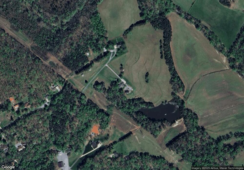
Map
Nearby Homes
- 4465 Brancer Ln
- 1448 Weatherwood Dr
- 2914 Weatherfield Dr
- 2911 Weatherfield Dr
- 1076 Furnace Rd
- 1711 Furnace Road Extension
- 1850 Furnace Rd
- 32 Miners Creek Dr
- 1471 Arden Dr
- 1335 Huckleberry Dr
- 2206 Carpenter Farms Dr
- 2202 Carpenter Farms Dr
- 341 Camp Creek Rd
- 3249 Ivey Creek Rd
- 370 Sherrill Farm Rd
- 5093 N Nc 150
- 5045 Amity Ln Unit 12
- 4417 King Wilkinson Rd
- 000 Curveview Rd
- 1 Clearview Ln
- 4465 Brancer Ln Unit 2
- 4447 Brancer Ln
- 3555 Family Dr
- 3382 Family Dr
- 3507 Stony Ridge Rd
- 1429 Kinfolk Ln
- 3457 Stony Ridge Rd
- 1445 Kinfolk Ln
- 3348 Family Dr
- Lot8 Madison Furnace Trail
- Lot10 Madison Furnace Trail
- Lot 10 Madison Furnace Trail
- Lot 10 Madison Furnace Trail Unit Lot 10
- 3420 Stony Ridge Rd
- Lot9 Madison Furnace Trail
- lot7 Madison Furnace Trail
- Lot11 Madison Furnace Trail
- Lot 11 Madison Furnace Trail
- Lot 9 Madison Furnace Trail
- Lot 9 Madison Furnace Trail Unit Lot 9