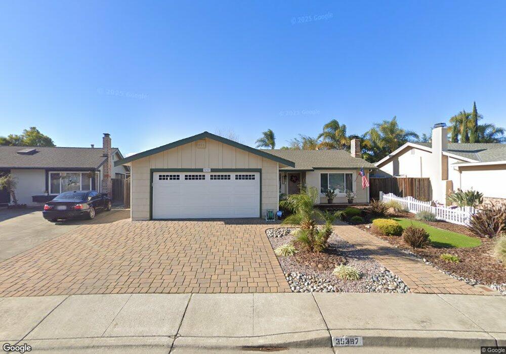
35387 Ronda Ct Fremont, CA 94536
Brookvale NeighborhoodEstimated Value: $1,352,124 - $1,730,000
3
Beds
2
Baths
1,300
Sq Ft
$1,219/Sq Ft
Est. Value
About This Home
This home is located at 35387 Ronda Ct, Fremont, CA 94536 and is currently estimated at $1,585,031, approximately $1,219 per square foot. 35387 Ronda Ct is a home located in Alameda County with nearby schools including Brookvale Elementary School, Thornton Middle School, and American High School.
Ownership History
Date
Name
Owned For
Owner Type
Purchase Details
Closed on
May 24, 2013
Sold by
Baty Bobby L
Bought by
Nelsen Ruth E and Nelsen Family Living Trust
Current Estimated Value
Purchase Details
Closed on
Aug 27, 2010
Sold by
Dicus Billy Dee and Dicus Renness Re
Bought by
Dicus Billy Dee and Dicus Renness Re
Purchase Details
Closed on
Oct 30, 1993
Sold by
Dicus Billy Dee and Dicus Renness Re
Bought by
Dicus Billy Dee and Dicus Renness Re
Create a Home Valuation Report for This Property
The Home Valuation Report is an in-depth analysis detailing your home's value as well as a comparison with similar homes in the area
Home Values in the Area
Average Home Value in this Area
Purchase History
| Date | Buyer | Sale Price | Title Company |
|---|---|---|---|
| Nelsen Ruth E | -- | None Available | |
| Dicus Billy Dee | -- | None Available | |
| Dicus Billy Dee | -- | -- |
Source: Public Records
Tax History Compared to Growth
Tax History
| Year | Tax Paid | Tax Assessment Tax Assessment Total Assessment is a certain percentage of the fair market value that is determined by local assessors to be the total taxable value of land and additions on the property. | Land | Improvement |
|---|---|---|---|---|
| 2025 | $1,959 | $102,580 | $36,291 | $73,289 |
| 2024 | $1,959 | $100,431 | $35,579 | $71,852 |
| 2023 | $1,886 | $105,324 | $34,881 | $70,443 |
| 2022 | $1,832 | $96,260 | $34,198 | $69,062 |
| 2021 | $1,794 | $94,235 | $33,527 | $67,708 |
| 2020 | $1,706 | $100,196 | $33,183 | $67,013 |
| 2019 | $1,690 | $98,232 | $32,533 | $65,699 |
| 2018 | $1,653 | $96,306 | $31,895 | $64,411 |
| 2017 | $1,611 | $94,417 | $31,269 | $63,148 |
| 2016 | $1,568 | $92,566 | $30,656 | $61,910 |
| 2015 | $1,532 | $91,176 | $30,196 | $60,980 |
| 2014 | $1,495 | $89,390 | $29,604 | $59,786 |
Source: Public Records
Map
Nearby Homes
- 35383 Purcell Place
- 35415 Woodbridge Place
- 4027 Sunset Terrace
- 34917 Sea Cliff Terrace
- 3184 Waugh Place
- 34926 Moina Shaiq Common
- 3134 Warwick Rd
- 4015 Clydesdale Common
- 34656 Greenstone Common
- 34512 Nantucket Common
- 34552 Nantucket Common
- 34579 Bluestone Common
- 34179 Bowling Green Common
- 3155 Mackenzie Place
- 35942 Adobe Dr
- 35345 Cabral Dr
- 34233 Atteridge Place
- 3751 Ruskin Place
- 35856 Adobe Dr
- 35978 Magellan Dr