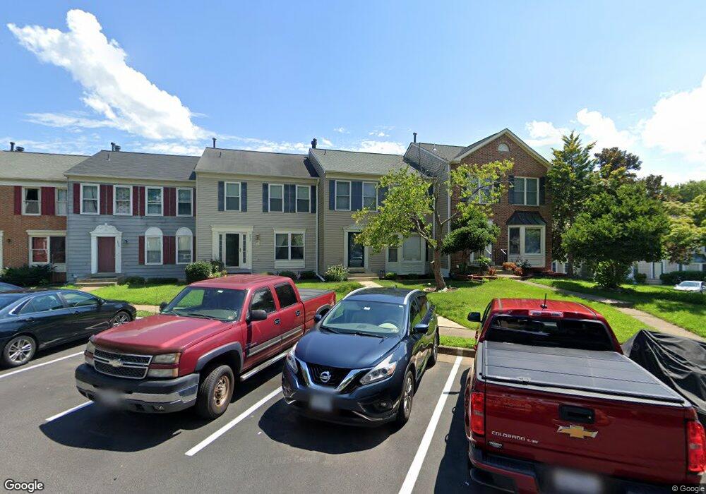
3539 Covered Bridge Ln Woodbridge, VA 22192
Old Bridge NeighborhoodEstimated Value: $448,000 - $484,000
3
Beds
2
Baths
1,450
Sq Ft
$318/Sq Ft
Est. Value
About This Home
This home is located at 3539 Covered Bridge Ln, Woodbridge, VA 22192 and is currently estimated at $460,723, approximately $317 per square foot. 3539 Covered Bridge Ln is a home located in Prince William County with nearby schools including Springwoods Elementary School, Gar-Field High School, and Woodbridge Middle School.
Ownership History
Date
Name
Owned For
Owner Type
Purchase Details
Closed on
Oct 27, 1994
Sold by
Jeunette J P
Bought by
Lair Kenneth D
Current Estimated Value
Home Financials for this Owner
Home Financials are based on the most recent Mortgage that was taken out on this home.
Original Mortgage
$106,650
Interest Rate
8.65%
Create a Home Valuation Report for This Property
The Home Valuation Report is an in-depth analysis detailing your home's value as well as a comparison with similar homes in the area
Home Values in the Area
Average Home Value in this Area
Purchase History
| Date | Buyer | Sale Price | Title Company |
|---|---|---|---|
| Lair Kenneth D | $118,500 | -- |
Source: Public Records
Mortgage History
| Date | Status | Borrower | Loan Amount |
|---|---|---|---|
| Closed | Lair Kenneth D | $106,650 |
Source: Public Records
Tax History Compared to Growth
Tax History
| Year | Tax Paid | Tax Assessment Tax Assessment Total Assessment is a certain percentage of the fair market value that is determined by local assessors to be the total taxable value of land and additions on the property. | Land | Improvement |
|---|---|---|---|---|
| 2025 | $4,024 | $437,200 | $161,000 | $276,200 |
| 2024 | $4,024 | $404,600 | $149,000 | $255,600 |
| 2023 | $3,922 | $376,900 | $138,000 | $238,900 |
| 2022 | $3,893 | $351,500 | $127,800 | $223,700 |
| 2021 | $3,874 | $315,800 | $114,100 | $201,700 |
| 2020 | $4,563 | $294,400 | $106,600 | $187,800 |
| 2019 | $4,335 | $279,700 | $101,500 | $178,200 |
| 2018 | $3,364 | $278,600 | $99,500 | $179,100 |
| 2017 | $3,283 | $264,400 | $93,900 | $170,500 |
| 2016 | $3,147 | $255,600 | $90,300 | $165,300 |
| 2015 | $2,773 | $242,400 | $85,200 | $157,200 |
| 2014 | $2,773 | $219,600 | $76,700 | $142,900 |
Source: Public Records
Map
Nearby Homes
- 3642 Woodhaven Ct
- 12743 Purdham Dr
- 3493 Wainscott Place
- 12899 Bjork Ln
- 12804 Evansport Place
- 12871 Valleywood Dr
- 12517 Hedges Run Dr
- 12948 Augustus Ct
- 4104 Churchman Way
- 4068 Chetham Way
- 12461 Hedges Run Dr
- 3988 Cressida Place
- 12309 Ashmont Ct Unit 203
- 12758 Silvia Loop
- 4167 Churchman Way
- 12608 Kempston Ln
- 12213 Stevenson Ct Unit 12213
- 12240 Stevenson Ct
- 12551 Kempston Ln
- 12834 Valleywood Dr
- 3537 Covered Bridge Ln
- 3541 Covered Bridge Ln
- 3535 Covered Bridge Ln
- 3533 Covered Bridge Ln
- 3531 Covered Bridge Ln
- 3529 Covered Bridge Ln
- 3527 Covered Bridge Ln
- 3623 Eagle Rock Ct
- 3621 Eagle Rock Ct
- 3619 Eagle Rock Ct
- 3625 Eagle Rock Ct
- 3627 Eagle Rock Ct
- 3532 Covered Bridge Ln
- 3534 Covered Bridge Ln
- 3630 Eagle Rock Ct
- 3629 Eagle Rock Ct
- 3528 Covered Bridge Ln
- 3617 Eagle Rock Ct
- 3631 Eagle Rock Ct
- 3628 Eagle Rock Ct