354 Spofford Rd Auburn, NH 03032
Estimated Value: $1,090,000 - $1,468,798
4
Beds
5
Baths
5,481
Sq Ft
$234/Sq Ft
Est. Value
About This Home
This home is located at 354 Spofford Rd, Auburn, NH 03032 and is currently estimated at $1,279,950, approximately $233 per square foot. 354 Spofford Rd is a home located in Rockingham County with nearby schools including Auburn Village School, Pinkerton Academy, and Mont Blanc Academy.
Ownership History
Date
Name
Owned For
Owner Type
Purchase Details
Closed on
Apr 24, 2006
Sold by
Mcdowell 3Rd Joseph F
Bought by
Young Jane E and Young John F
Current Estimated Value
Purchase Details
Closed on
Jan 25, 2005
Sold by
Orrin H Chase T
Bought by
Mcdowell 3Rd Joseph F
Create a Home Valuation Report for This Property
The Home Valuation Report is an in-depth analysis detailing your home's value as well as a comparison with similar homes in the area
Home Values in the Area
Average Home Value in this Area
Purchase History
| Date | Buyer | Sale Price | Title Company |
|---|---|---|---|
| Young Jane E | $160,000 | -- | |
| Mcdowell 3Rd Joseph F | $175,000 | -- |
Source: Public Records
Mortgage History
| Date | Status | Borrower | Loan Amount |
|---|---|---|---|
| Open | Mcdowell 3Rd Joseph F | $523,000 | |
| Closed | Mcdowell 3Rd Joseph F | $552,000 |
Source: Public Records
Tax History Compared to Growth
Tax History
| Year | Tax Paid | Tax Assessment Tax Assessment Total Assessment is a certain percentage of the fair market value that is determined by local assessors to be the total taxable value of land and additions on the property. | Land | Improvement |
|---|---|---|---|---|
| 2024 | $16,769 | $1,244,900 | $223,900 | $1,021,000 |
| 2023 | $15,698 | $1,244,900 | $223,900 | $1,021,000 |
| 2022 | $12,602 | $706,000 | $173,200 | $532,800 |
| 2021 | $12,596 | $694,400 | $173,200 | $521,200 |
| 2020 | $12,833 | $694,400 | $173,200 | $521,200 |
| 2019 | $13,062 | $694,400 | $173,200 | $521,200 |
| 2018 | $453 | $694,400 | $173,200 | $521,200 |
| 2017 | $10,909 | $515,800 | $158,700 | $357,100 |
| 2016 | $6,466 | $515,800 | $158,700 | $357,100 |
| 2015 | $10,645 | $514,000 | $158,700 | $355,300 |
| 2014 | $10,953 | $514,000 | $158,700 | $355,300 |
| 2013 | $10,069 | $514,000 | $158,700 | $355,300 |
Source: Public Records
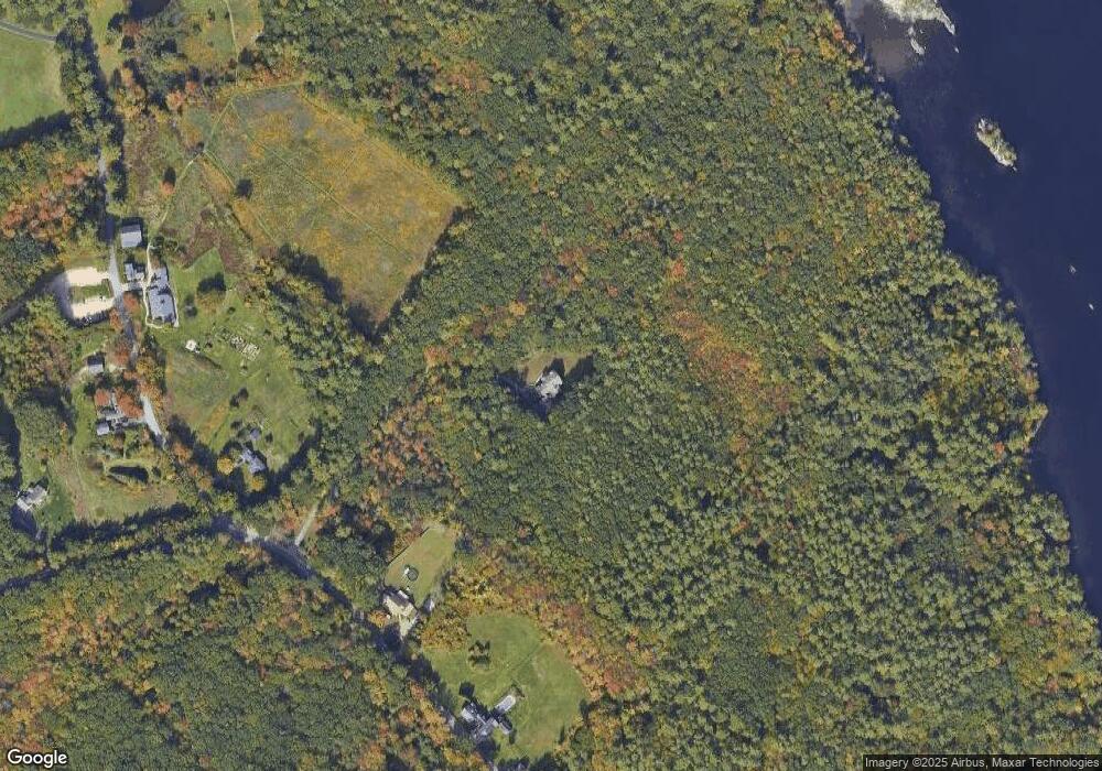
Map
Nearby Homes
- #1 the Cliffs at Evergreen Dr
- 53 Tanglewood Dr
- 54 the Cliffs at Evergreen Dr
- 33 Bunker Hill Rd
- Lot 4 Lovers Ln
- 74 Nolls Farm Rd
- 62 Hooksett Rd
- 59 Hooksett Rd
- 438 Manchester Rd
- 30 Windsor Dr
- 53 Heritage Way
- 66 Broadway Ave
- 51 the Cliffs at Evergreen Cliffside Dr Unit 51
- 59 Hawthorne Dr
- 56 the Cliffs at Evergreen Dr
- 63 the Cliffs at Evergreen Hemlock Dr Unit 63
- 53 the Cliffs at Evergreen Cliffside Dr Unit 53
- 39 the Cliffs at Evergreen Cliffside Dr Unit 39
- 225 Aladdin St
- 593 Cohas Ave
- 338 Spofford Rd
- 6 Audubon Way
- 328 Spofford Rd
- 26 Audubon Way
- 17 Audubon Way
- 376 Spofford Rd
- 301 Spofford Rd
- 392 Spofford Rd
- 6 Wildwood Rd
- 386 Spofford Rd
- 72 Audubon Way
- 12 Wildwood Rd
- 55 Audubon Way
- 16 Parker Way
- 403 Spofford Rd
- 12 Parker Way
- 6 Parker Way
- 17 Wildwood Rd
- 25 Wildwood Rd
- Lot 3-4 Londonderry Turnpike