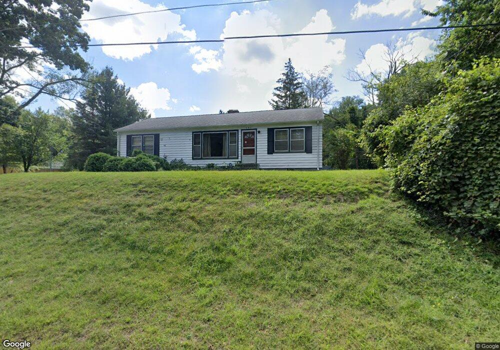
354 W May St Benton Harbor, MI 49022
Fair Plain NeighborhoodEstimated Value: $158,000 - $176,000
2
Beds
1
Bath
1,348
Sq Ft
$125/Sq Ft
Est. Value
About This Home
This home is located at 354 W May St, Benton Harbor, MI 49022 and is currently estimated at $168,419, approximately $124 per square foot. 354 W May St is a home located in Berrien County with nearby schools including Fair Plain Middle School, Benton Harbor High School, and Benton Harbor Charter School Academy.
Ownership History
Date
Name
Owned For
Owner Type
Purchase Details
Closed on
May 5, 2009
Sold by
Dietz Ruth E
Bought by
Scott Roderic Roger and Dietz Ruth E
Current Estimated Value
Purchase Details
Closed on
Mar 25, 2009
Sold by
Scott Rederic Roger
Bought by
Dietz Ruth E
Purchase Details
Closed on
Aug 30, 2007
Sold by
Hild Phillip John and Hild Phillip Joseph
Bought by
Hild Phillip John
Home Financials for this Owner
Home Financials are based on the most recent Mortgage that was taken out on this home.
Original Mortgage
$148,500
Interest Rate
5.16%
Mortgage Type
Reverse Mortgage Home Equity Conversion Mortgage
Purchase Details
Closed on
May 31, 2002
Create a Home Valuation Report for This Property
The Home Valuation Report is an in-depth analysis detailing your home's value as well as a comparison with similar homes in the area
Home Values in the Area
Average Home Value in this Area
Purchase History
| Date | Buyer | Sale Price | Title Company |
|---|---|---|---|
| Scott Roderic Roger | -- | None Available | |
| Dietz Ruth E | -- | None Available | |
| Hild Phillip John | -- | None Available | |
| -- | $67,900 | -- |
Source: Public Records
Mortgage History
| Date | Status | Borrower | Loan Amount |
|---|---|---|---|
| Previous Owner | Hild Phillip John | $148,500 |
Source: Public Records
Tax History Compared to Growth
Tax History
| Year | Tax Paid | Tax Assessment Tax Assessment Total Assessment is a certain percentage of the fair market value that is determined by local assessors to be the total taxable value of land and additions on the property. | Land | Improvement |
|---|---|---|---|---|
| 2025 | $1,198 | $77,100 | $0 | $0 |
| 2024 | $709 | $61,900 | $0 | $0 |
| 2023 | $675 | $49,200 | $0 | $0 |
| 2022 | $643 | $41,200 | $0 | $0 |
| 2021 | $1,045 | $44,400 | $14,800 | $29,600 |
| 2020 | $974 | $43,800 | $0 | $0 |
| 2019 | $941 | $35,800 | $7,000 | $28,800 |
| 2018 | $920 | $35,800 | $0 | $0 |
| 2017 | $866 | $34,300 | $0 | $0 |
| 2016 | $839 | $34,600 | $0 | $0 |
| 2015 | $837 | $32,400 | $0 | $0 |
| 2014 | $545 | $31,900 | $0 | $0 |
Source: Public Records
Map
Nearby Homes
- 202 Searles Ave
- 1000 Riverview Dr Unit 11
- 1235 Colfax Ave
- 941 Colfax Ave
- 377 Western Ave
- 379 Western Ave
- 979 Lavette Ave
- 180 Emery Ave
- 171 E Empire Ave
- 513 N Ottawa Rd
- 872 Mcalister Ave
- 131 Clay St
- 1267 Broadway
- 694 Colfax Ave
- 1097 Pearl St
- 361 E May St
- 398 Anchors Way Unit 82s
- 398 Anchors Way Unit 87s
- 1045 Broadway
- 349 E Empire Ave