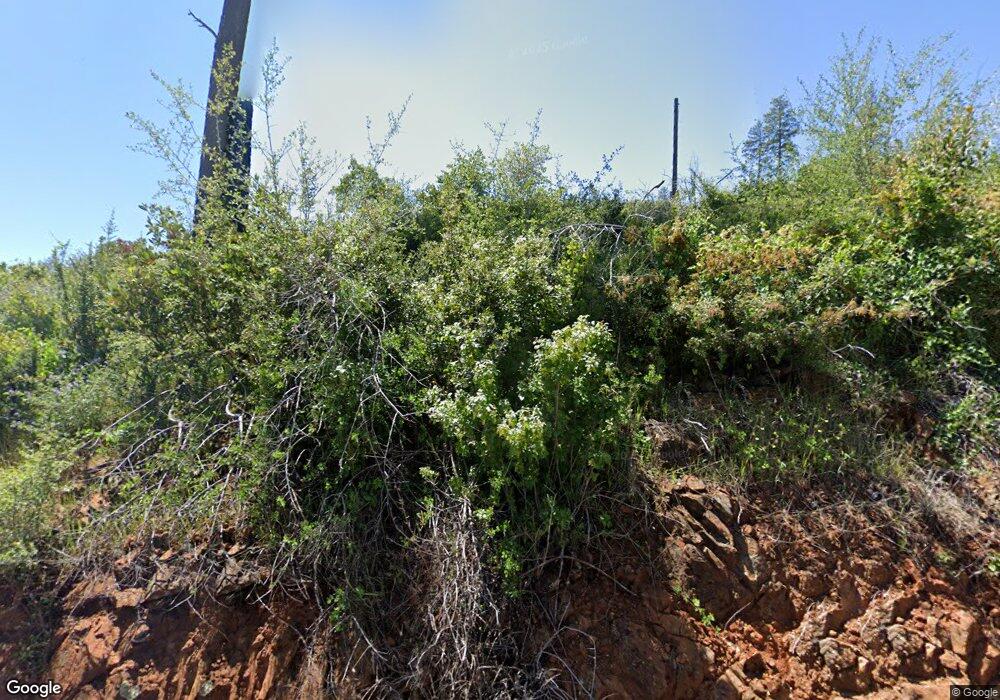
3540 Stone Mountain Rd Oroville, CA 95965
Estimated Value: $33,105 - $43,000
2
Beds
2
Baths
1,351
Sq Ft
$28/Sq Ft
Est. Value
About This Home
This home is located at 3540 Stone Mountain Rd, Oroville, CA 95965 and is currently estimated at $38,053, approximately $28 per square foot. 3540 Stone Mountain Rd is a home with nearby schools including Springs Valley Elementary School and Oroville High School.
Ownership History
Date
Name
Owned For
Owner Type
Purchase Details
Closed on
Oct 25, 2023
Sold by
Baker Robert J and Baker Patricia A
Bought by
Tarangioli Linda and Calamatoes Jonathan
Current Estimated Value
Purchase Details
Closed on
Jun 15, 1999
Sold by
Mercado Jose and Mercado Linda
Bought by
Baker Robert J and Baker Patricia A
Home Financials for this Owner
Home Financials are based on the most recent Mortgage that was taken out on this home.
Original Mortgage
$3,500
Interest Rate
7.01%
Mortgage Type
Seller Take Back
Create a Home Valuation Report for This Property
The Home Valuation Report is an in-depth analysis detailing your home's value as well as a comparison with similar homes in the area
Home Values in the Area
Average Home Value in this Area
Purchase History
| Date | Buyer | Sale Price | Title Company |
|---|---|---|---|
| Tarangioli Linda | $32,000 | Fidelity National Title Compan | |
| Baker Robert J | $13,500 | Fidelity National Title |
Source: Public Records
Mortgage History
| Date | Status | Borrower | Loan Amount |
|---|---|---|---|
| Previous Owner | Baker Robert J | $3,500 |
Source: Public Records
Tax History Compared to Growth
Tax History
| Year | Tax Paid | Tax Assessment Tax Assessment Total Assessment is a certain percentage of the fair market value that is determined by local assessors to be the total taxable value of land and additions on the property. | Land | Improvement |
|---|---|---|---|---|
| 2025 | $350 | $32,640 | $27,540 | $5,100 |
| 2024 | $350 | $32,000 | $27,000 | $5,000 |
| 2023 | $135 | $18,823 | $18,823 | $0 |
| 2022 | $129 | $18,454 | $18,454 | $0 |
| 2021 | $126 | $18,093 | $18,093 | $0 |
| 2020 | $125 | $17,908 | $17,908 | $0 |
| 2019 | $122 | $17,557 | $17,557 | $0 |
| 2018 | $1,194 | $116,112 | $17,213 | $98,899 |
| 2017 | $1,161 | $113,836 | $16,876 | $96,960 |
| 2016 | $1,131 | $111,605 | $16,546 | $95,059 |
| 2015 | -- | $109,930 | $16,298 | $93,632 |
| 2014 | -- | $107,777 | $15,979 | $91,798 |
Source: Public Records
Map
Nearby Homes
- 12196 Concow Rd
- 3510 Stone Mountain Rd
- 0 Deadwood Rd
- 4023 Kakini Rd
- 12115 Andy Mountain Rd
- 12059 Andy Mountain Rd
- 3979 Yellow Wood Rd
- 12269 Andy Mountain Rd
- 3738 Pinkston Canyon Rd
- 4236 Kakini Rd
- 0 Capricorn Way Unit OR25225452
- 0 Detlow Rd
- 3635 Charqui Ct
- 0 Miller Peak Rd
- 3460 Skycrest Dr
- 0 Astoria Way
- 12980 Mohawk Way
- 3512 Skycrest Dr
- 5278 Country Club Dr
- 2395 Stearns Rd
- 12210 Concow Rd
- 3486 Stone Mountain Rd
- 3501 Stone Mountain Rd
- 3502 Stone Mountain Rd
- 3456 Stone Mountain Rd
- 12002 Concow Rd
- 12220 Concow Rd
- 3520 Crain Ridge Rd
- 3475 Wilenor Ct
- 12218 Concow Rd
- 12231 Concow Rd
- 3472 Comfort Ln
- 3490 Comfort Ln
- 12172 Jordan Hill Rd
- 12061 Jordan Hill Rd
- 12004 Concow Rd
- 12333 Concow Rd
- 3720 Deadwood Rd
- 3700 Deadwood Rd
- 11877 Concow Rd
