3545 Rockview Dr Springfield, OH 45504
Cedar Hills/Broadview NeighborhoodEstimated Value: $381,000 - $557,000
About This Home
This home is located at 3545 Rockview Dr, Springfield, OH 45504 and is currently estimated at $447,328, approximately $157 per square foot. 3545 Rockview Dr is a home located in Clark County with nearby schools including Possum Elementary School, Shawnee Middle School/High School, and Clark Preparatory Academy.
Ownership History
We collect this data history from publicly available records. To have your information removed, we recommend requesting removal directly through your county’s website.
Purchase Details
Purchase Details
Purchase Details
Home Values in the Area
Average Home Value in this Area
Purchase History
We collect this data history from publicly available records. To have your information removed, we recommend requesting removal directly through your county’s website.
| Date | Buyer | Sale Price | Title Company |
|---|---|---|---|
| -- | Team Title & Closing Service | ||
| $220,000 | Team Title & Closing Svcs Ll | ||
| $42,000 | -- |
Tax History
We collect this data history from publicly available records. To have your information removed, we recommend requesting removal directly through your county’s website.
| Year | Tax Paid | Tax Assessment Tax Assessment Total Assessment is a certain percentage of the fair market value that is determined by local assessors to be the total taxable value of land and additions on the property. | Land | Improvement |
|---|---|---|---|---|
| 2025 | $5,740 | $132,470 | $25,280 | $107,190 |
| 2024 | $5,591 | $114,330 | $20,730 | $93,600 |
| 2023 | $5,591 | $114,330 | $20,730 | $93,600 |
| 2022 | $5,545 | $114,330 | $20,730 | $93,600 |
| 2021 | $4,293 | $79,290 | $15,700 | $63,590 |
| 2020 | $4,328 | $79,290 | $15,700 | $63,590 |
| 2019 | $4,396 | $79,290 | $15,700 | $63,590 |
| 2018 | $4,250 | $75,630 | $12,660 | $62,970 |
| 2017 | $4,356 | $75,695 | $12,663 | $63,032 |
| 2016 | $3,930 | $75,695 | $12,663 | $63,032 |
| 2015 | $3,894 | $75,695 | $12,663 | $63,032 |
| 2014 | $3,924 | $75,695 | $12,663 | $63,032 |
| 2013 | $3,393 | $75,695 | $12,663 | $63,032 |
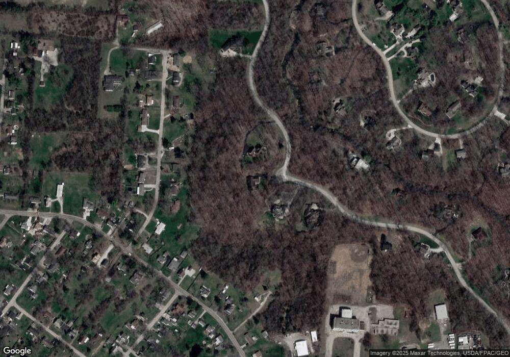
Map
- 330 Saint Paul Ave
- 3689 W National Rd
- 80 Carlisle Ave
- 3753 W National Rd
- 198 E Downey Dr
- 769 Shrine Rd
- 190 Oakridge Dr
- 254 Oakridge Dr
- 3267 Lower Valley Pike Unit Tract 2
- 4461 New Carlisle Pike
- 4004 Sintz Rd
- 3101 W Columbia St
- 657 White Oak Dr
- 2756 Cottonwood Dr
- 3319 Wendover St
- 0 Upper Valley Pike
- 711 Upper Valley Pike
- 288 Gordon Rd
- 29 Gordon Rd
- 925 Upper Valley Pike
- 3535 Rockview Dr
- 3555 Rockview Dr
- 3507 Rockview Dr
- 334 Woodview Dr
- 342 Woodview Dr
- 312 Woodview Dr
- 344 Woodview Dr
- 300 Woodview Dr
- 422 Woodview Dr
- 3484 Rockview Dr
- 3734 New Carlisle Pike
- 410 Leander Dr
- 3742 New Carlisle Pike
- 3706 New Carlisle Pike
- 327 Woodview Dr
- 3660 New Carlisle Pike
- 339 Woodview Dr
- 321 Woodview Dr
- 3752 New Carlisle Pike
- 3780 New Carlisle Pike
Ask me questions while you tour the home.