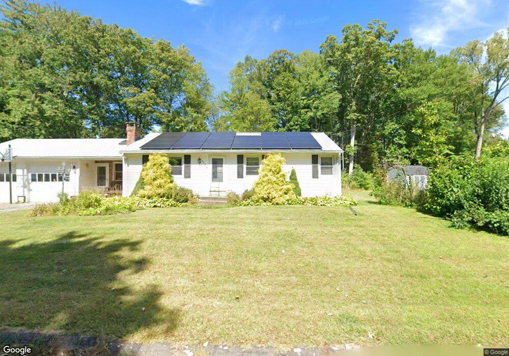
355 Acrebrook Dr Florence, MA 01062
Florence NeighborhoodEstimated Value: $367,712 - $405,000
3
Beds
1
Bath
1,188
Sq Ft
$325/Sq Ft
Est. Value
About This Home
This home is located at 355 Acrebrook Dr, Florence, MA 01062 and is currently estimated at $386,178, approximately $325 per square foot. 355 Acrebrook Dr is a home located in Hampshire County with nearby schools including Northampton High School, Hilltown Cooperative Charter Public School, and The Montessori School of Northampton.
Ownership History
Date
Name
Owned For
Owner Type
Purchase Details
Closed on
Aug 26, 1997
Sold by
Daunheimer Nancy J and Mcnicholas Helen S
Bought by
Laselle John J and Laselle Margaret D
Current Estimated Value
Home Financials for this Owner
Home Financials are based on the most recent Mortgage that was taken out on this home.
Original Mortgage
$10,000
Interest Rate
7.42%
Mortgage Type
Purchase Money Mortgage
Create a Home Valuation Report for This Property
The Home Valuation Report is an in-depth analysis detailing your home's value as well as a comparison with similar homes in the area
Home Values in the Area
Average Home Value in this Area
Purchase History
| Date | Buyer | Sale Price | Title Company |
|---|---|---|---|
| Laselle John J | $110,000 | -- |
Source: Public Records
Mortgage History
| Date | Status | Borrower | Loan Amount |
|---|---|---|---|
| Open | Laselle John J | $150,000 | |
| Closed | Laselle John J | $100,000 | |
| Closed | Laselle John J | $10,000 | |
| Closed | Laselle John J | $104,500 |
Source: Public Records
Tax History
| Year | Tax Paid | Tax Assessment Tax Assessment Total Assessment is a certain percentage of the fair market value that is determined by local assessors to be the total taxable value of land and additions on the property. | Land | Improvement |
|---|---|---|---|---|
| 2025 | $4,394 | $315,400 | $134,600 | $180,800 |
| 2024 | $4,697 | $309,200 | $128,400 | $180,800 |
| 2023 | $4,289 | $270,800 | $116,600 | $154,200 |
| 2022 | $3,821 | $213,600 | $109,300 | $104,300 |
| 2021 | $3,834 | $220,700 | $104,300 | $116,400 |
| 2020 | $3,708 | $220,700 | $104,300 | $116,400 |
| 2019 | $3,748 | $215,800 | $89,300 | $126,500 |
| 2018 | $3,704 | $217,400 | $89,300 | $128,100 |
| 2017 | $3,628 | $217,400 | $89,300 | $128,100 |
| 2016 | $3,513 | $217,400 | $89,300 | $128,100 |
| 2015 | $3,455 | $218,700 | $89,300 | $129,400 |
| 2014 | $3,366 | $218,700 | $89,300 | $129,400 |
Source: Public Records
Map
Nearby Homes
- 723 Lot B Ryan Rd
- 296 Ryan Rd Unit A
- 296 Ryan Rd
- 296 Ryan Rd Unit B
- 815 Burts Pit Rd
- 72 Emerson Way
- 42 Clark St
- 635 Florence Rd
- 589 Florence Rd
- 404 Sylvester Rd
- 0 W Farms Rd
- 20-11 Sylvester Rd
- 892 Westhampton Rd
- 967 Florence Rd
- 41 Landy Ave
- 37 Landy Ave
- 33 Landy Ave
- 22 Lilly St
- 67 Park St Unit A
- 31 Lilly St
- 381 Acrebrook Dr
- 405 Acrebrook Dr
- 341 Acrebrook Dr
- 415 Acrebrook Dr
- 358 Acrebrook Dr
- 366 Acrebrook Dr
- 350 Acrebrook Dr
- 423 Acrebrook Dr
- 342 Acrebrook Dr
- 374 Acrebrook Dr
- 83 Forest Glen Dr
- 333 Acrebrook Dr
- 390 Acrebrook Dr
- 398 Acrebrook Dr
- 406 Acrebrook Dr
- 382 Acrebrook Dr
- 88 Forest Glen Dr
- 334 Acrebrook Dr
- 431 Acrebrook Dr
- 414 Acrebrook Dr
Your Personal Tour Guide
Ask me questions while you tour the home.