355 Center Point Dr Montezuma, IA 50171
Estimated Value: $449,000 - $472,000
3
Beds
3
Baths
1,344
Sq Ft
$342/Sq Ft
Est. Value
About This Home
This home is located at 355 Center Point Dr, Montezuma, IA 50171 and is currently estimated at $460,146, approximately $342 per square foot. 355 Center Point Dr is a home located in Poweshiek County with nearby schools including Montezuma Elementary School and Montezuma Junior High School.
Ownership History
Date
Name
Owned For
Owner Type
Purchase Details
Closed on
Jun 7, 2007
Sold by
Webb Virgil L and Webb Martha E
Bought by
Donaldson Daniel B
Current Estimated Value
Home Financials for this Owner
Home Financials are based on the most recent Mortgage that was taken out on this home.
Original Mortgage
$178,203
Outstanding Balance
$109,574
Interest Rate
6.37%
Mortgage Type
FHA
Estimated Equity
$350,572
Create a Home Valuation Report for This Property
The Home Valuation Report is an in-depth analysis detailing your home's value as well as a comparison with similar homes in the area
Home Values in the Area
Average Home Value in this Area
Purchase History
| Date | Buyer | Sale Price | Title Company |
|---|---|---|---|
| Donaldson Daniel B | $181,000 | None Available |
Source: Public Records
Mortgage History
| Date | Status | Borrower | Loan Amount |
|---|---|---|---|
| Open | Donaldson Daniel B | $178,203 |
Source: Public Records
Tax History Compared to Growth
Tax History
| Year | Tax Paid | Tax Assessment Tax Assessment Total Assessment is a certain percentage of the fair market value that is determined by local assessors to be the total taxable value of land and additions on the property. | Land | Improvement |
|---|---|---|---|---|
| 2025 | $3,196 | $359,130 | $101,740 | $257,390 |
| 2024 | $3,282 | $339,270 | $92,650 | $246,620 |
| 2023 | $3,270 | $335,980 | $92,650 | $243,330 |
| 2022 | $3,296 | $280,710 | $76,740 | $203,970 |
| 2021 | $3,296 | $264,820 | $72,400 | $192,420 |
| 2020 | $2,902 | $232,210 | $62,000 | $170,210 |
| 2019 | $2,694 | $232,210 | $62,000 | $170,210 |
| 2018 | $2,656 | $209,510 | $50,000 | $159,510 |
| 2017 | $2,428 | $209,510 | $50,000 | $159,510 |
| 2016 | $2,392 | $192,050 | $33,000 | $159,050 |
| 2015 | $2,392 | $192,050 | $33,000 | $159,050 |
| 2014 | $2,366 | $192,050 | $33,000 | $159,050 |
Source: Public Records
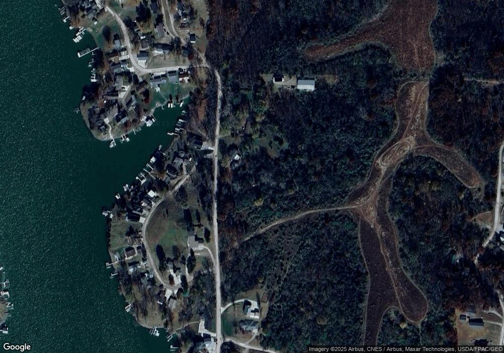
Map
Nearby Homes
- 146 Scenic Dr
- 312 Center Point Dr
- 147 Hillcrest Ridge
- 148 Valley Rd
- 133 Whippoorwill Rd
- 161 Hillcrest Ridge
- 252 Hillcrest Ridge
- 106 110 Orchard Rd
- 226 & 228 Center Point Dr
- 171 Valley Rd
- 104 Ivy Dr
- TBD Ivy Dr
- 4854 103rd St
- 251 Whippoorwill Rd
- 109 Cedar Rd
- 203 Woodland Rd
- 169 Woodland Rd Unit 21 Lot 11
- 361 Hillcrest Ridge
- 110 Cottage Ln
- 103 S Shore Dr
- 356 Center Point Dr
- 381 Center Point Dr
- 350 Center Point Dr
- 106 Scenic Dr
- 112 Scenic Dr
- 117 & 121 Scenic Dr
- 151 Scenic Dr
- 349 Center Point Dr
- 118 Scenic Dr
- 120 Scenic Dr
- 344 Center Point Dr
- 342 Center Point Dr
- 122 Scenic Dr
- 340 Center Point Dr
- 105 Vista Dr
- 143 Scenic Dr
- 101 Vista Dr
- 124 Scenic Dr
- 109 Vista Dr
- 345 Center Point Dr