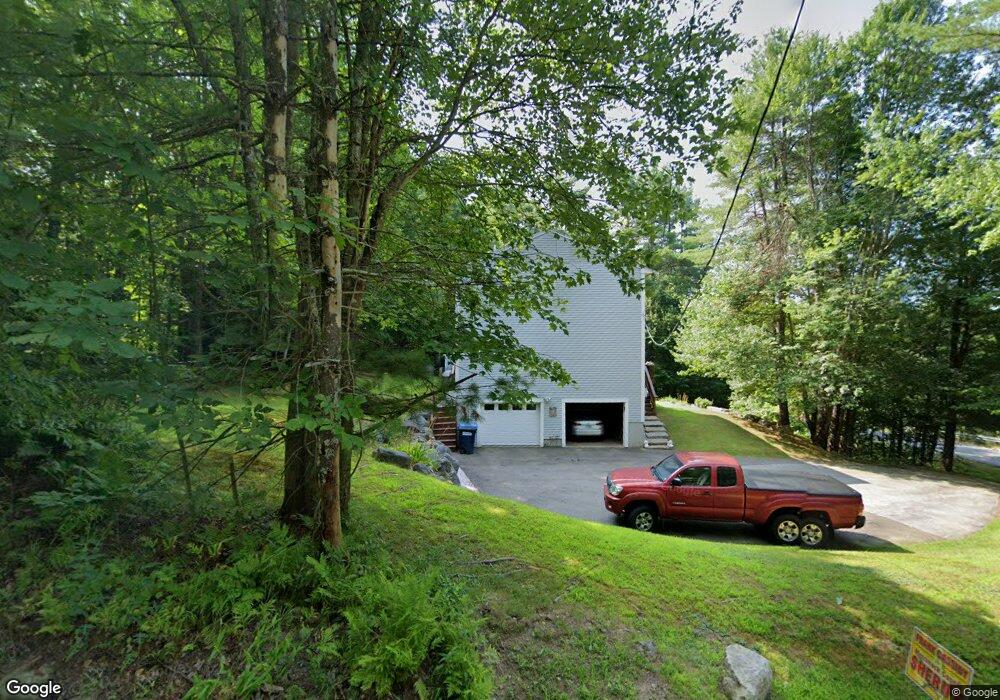
355 Deerfield Rd Allenstown, NH 03275
Estimated Value: $544,000 - $600,200
3
Beds
3
Baths
2,293
Sq Ft
$247/Sq Ft
Est. Value
About This Home
This home is located at 355 Deerfield Rd, Allenstown, NH 03275 and is currently estimated at $565,800, approximately $246 per square foot. 355 Deerfield Rd is a home located in Merrimack County with nearby schools including Allenstown Elementary School and Armand R. Dupont School.
Ownership History
Date
Name
Owned For
Owner Type
Purchase Details
Closed on
Dec 19, 2018
Sold by
Stonge Carole and Stonge David R
Bought by
Stonge D & C Ft
Current Estimated Value
Purchase Details
Closed on
Jun 20, 2016
Sold by
Deerfield Road Rt
Bought by
Porter Ricard W
Purchase Details
Closed on
Dec 8, 2000
Sold by
Butler Donald Lee and Butler Kristi
Bought by
Carole A St Onge and St Onge David R
Home Financials for this Owner
Home Financials are based on the most recent Mortgage that was taken out on this home.
Original Mortgage
$128,750
Interest Rate
7.64%
Purchase Details
Closed on
Mar 30, 2000
Sold by
Pioneer Captl Corp
Bought by
Buttler Donald Lee and Buttler Kristi
Home Financials for this Owner
Home Financials are based on the most recent Mortgage that was taken out on this home.
Original Mortgage
$151,900
Interest Rate
8.4%
Purchase Details
Closed on
Jun 8, 1999
Sold by
Deerfield Rd Rt
Bought by
Pioneer Captl Corp
Create a Home Valuation Report for This Property
The Home Valuation Report is an in-depth analysis detailing your home's value as well as a comparison with similar homes in the area
Home Values in the Area
Average Home Value in this Area
Purchase History
| Date | Buyer | Sale Price | Title Company |
|---|---|---|---|
| Stonge D & C Ft | -- | -- | |
| Porter Ricard W | -- | -- | |
| Carole A St Onge | $179,900 | -- | |
| Buttler Donald Lee | $159,900 | -- | |
| Pioneer Captl Corp | $125,000 | -- |
Source: Public Records
Mortgage History
| Date | Status | Borrower | Loan Amount |
|---|---|---|---|
| Previous Owner | Pioneer Captl Corp | $98,051 | |
| Previous Owner | Pioneer Captl Corp | $128,150 | |
| Previous Owner | Pioneer Captl Corp | $128,750 | |
| Previous Owner | Pioneer Captl Corp | $151,900 |
Source: Public Records
Tax History Compared to Growth
Tax History
| Year | Tax Paid | Tax Assessment Tax Assessment Total Assessment is a certain percentage of the fair market value that is determined by local assessors to be the total taxable value of land and additions on the property. | Land | Improvement |
|---|---|---|---|---|
| 2024 | $10,628 | $418,100 | $136,200 | $281,900 |
| 2023 | $8,864 | $418,100 | $136,200 | $281,900 |
| 2022 | $8,153 | $418,100 | $136,200 | $281,900 |
| 2021 | $8,004 | $254,100 | $85,200 | $168,900 |
| 2020 | $7,445 | $254,100 | $85,200 | $168,900 |
| 2019 | $7,903 | $254,100 | $85,200 | $168,900 |
| 2018 | $8,448 | $254,100 | $85,200 | $168,900 |
| 2017 | $8,159 | $254,100 | $85,200 | $168,900 |
| 2016 | $7,585 | $224,000 | $71,900 | $152,100 |
| 2015 | $7,354 | $224,000 | $71,900 | $152,100 |
| 2014 | $7,567 | $224,000 | $71,900 | $152,100 |
| 2013 | $7,063 | $224,000 | $71,900 | $152,100 |
Source: Public Records
Map
Nearby Homes
- 243 Middle Rd
- 43 Catamount Hill Dr
- 8 Bush Ave
- 6 Jackson Ave
- 370 River Rd
- 11 Presidential Dr
- 1 Jefferson Ave
- 5 Catamount Hill Dr
- 94 Mount Delight Rd
- 14 Queens Ln
- 9 Princess Ln
- 147 Middle Rd
- 6 Adams St
- 9 Pine Acres Rd
- 289 Currier Rd
- 59 Mount Delight Rd
- 733 North Rd
- 0 Poor Town Rd Unit 4
- 19 Silver Hill Dr
- 101 4th Range Rd Unit 4
- 359 Deerfield Rd
- 365 Deerfield Rd
- 358 Deerfield Rd
- 10 Woodridge Dr
- 368 Deerfield Rd
- 352 Deerfield Rd
- 18 Clearview Dr
- 344 Deerfield Rd
- 341 Deerfield Rd
- 367 Deerfield Rd
- 371 Deerfield Rd
- 26 Clearview Dr
- 41 Clearview Dr
- 372 Deerfield Rd
- 16 Woodridge Dr
- 15 Woodridge Dr
- 375 Deerfield Rd
- 378 Deerfield Rd
- 25 Clearview Dr
- 379 Deerfield Rd