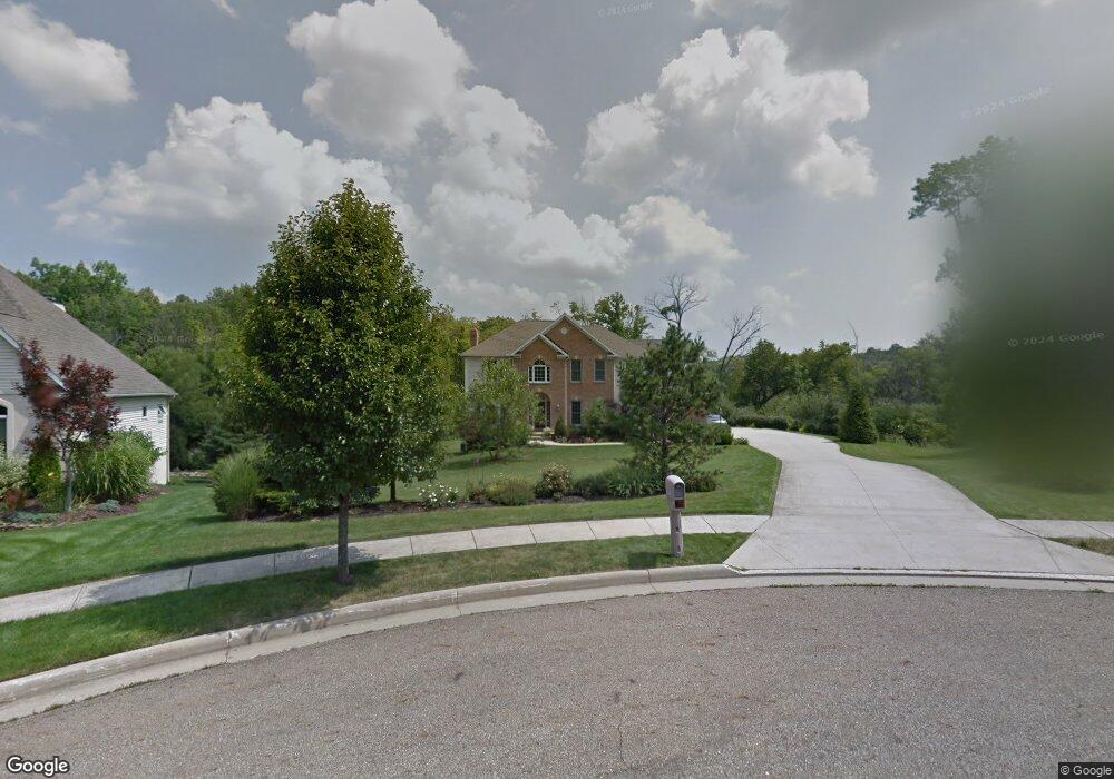
355 Jade Blvd Streetsboro, OH 44241
Estimated Value: $536,765 - $665,000
4
Beds
4
Baths
2,762
Sq Ft
$212/Sq Ft
Est. Value
About This Home
This home is located at 355 Jade Blvd, Streetsboro, OH 44241 and is currently estimated at $586,691, approximately $212 per square foot. 355 Jade Blvd is a home located in Portage County with nearby schools including Streetsboro High School and Seton Catholic Elementary School.
Ownership History
Date
Name
Owned For
Owner Type
Purchase Details
Closed on
Oct 25, 2022
Sold by
Williams Sandra A
Bought by
Sandra A Wehmann Trust
Current Estimated Value
Purchase Details
Closed on
Nov 16, 2004
Sold by
Pipoly Matthew R and Pipoly Mathew
Bought by
Wehmann Sandra A
Home Financials for this Owner
Home Financials are based on the most recent Mortgage that was taken out on this home.
Original Mortgage
$162,500
Interest Rate
5.91%
Mortgage Type
Purchase Money Mortgage
Purchase Details
Closed on
Oct 24, 2003
Sold by
Stonegate Enterprises Inc
Bought by
Pipoly Matthew R
Create a Home Valuation Report for This Property
The Home Valuation Report is an in-depth analysis detailing your home's value as well as a comparison with similar homes in the area
Home Values in the Area
Average Home Value in this Area
Purchase History
| Date | Buyer | Sale Price | Title Company |
|---|---|---|---|
| Sandra A Wehmann Trust | $125 | -- | |
| Wehmann Sandra A | -- | Multiple | |
| Pipoly Matthew R | $71,500 | Advanced Title |
Source: Public Records
Mortgage History
| Date | Status | Borrower | Loan Amount |
|---|---|---|---|
| Previous Owner | Wehmann Sandra A | $162,500 |
Source: Public Records
Tax History Compared to Growth
Tax History
| Year | Tax Paid | Tax Assessment Tax Assessment Total Assessment is a certain percentage of the fair market value that is determined by local assessors to be the total taxable value of land and additions on the property. | Land | Improvement |
|---|---|---|---|---|
| 2024 | $6,704 | $162,230 | $23,630 | $138,600 |
| 2023 | $6,306 | $124,920 | $23,630 | $101,290 |
| 2022 | $6,315 | $124,920 | $23,630 | $101,290 |
| 2021 | $6,338 | $124,920 | $23,630 | $101,290 |
| 2020 | $6,263 | $113,270 | $23,630 | $89,640 |
| 2019 | $6,321 | $113,270 | $23,630 | $89,640 |
| 2018 | $5,403 | $108,920 | $28,000 | $80,920 |
| 2017 | $5,403 | $108,920 | $28,000 | $80,920 |
| 2016 | $5,407 | $108,920 | $28,000 | $80,920 |
| 2015 | $5,416 | $108,920 | $28,000 | $80,920 |
| 2014 | $5,463 | $108,920 | $28,000 | $80,920 |
| 2013 | $5,440 | $108,920 | $28,000 | $80,920 |
Source: Public Records
Map
Nearby Homes
- 389 Opal Ct
- 9005 Sandpiper Dr
- 8929 Falcon Dr
- 9085 Sandpiper Dr
- 174 Sapphire Ln
- 644 Teal Ct
- 139 Mccracken Rd
- 6629 Meadow Farm Dr
- 713 Gold Leaf Ct
- 9281 Hickory Ridge Dr
- 6869 Saint Regis Blvd
- 939 State Route 303
- 9251 Chestnut Ct
- 9247 Chestnut Ct
- 1011 Ashwood Ln
- 1013 Ashwood Ln
- 6607 Dunbarton Dr
- 6751 Pheasants Ridge
- 1159 Shawnee Trail
- 1440 Trader Dr