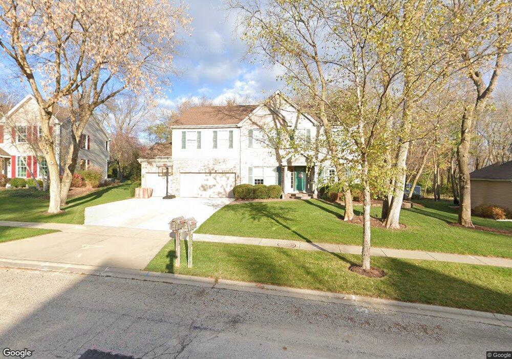
355 Kirkland Dr Unit 3 Algonquin, IL 60102
Estimated Value: $495,949 - $570,000
4
Beds
3
Baths
3,200
Sq Ft
$166/Sq Ft
Est. Value
About This Home
This home is located at 355 Kirkland Dr Unit 3, Algonquin, IL 60102 and is currently estimated at $532,237, approximately $166 per square foot. 355 Kirkland Dr Unit 3 is a home located in McHenry County with nearby schools including Westfield Community School, United Junior High School, and Harry D Jacobs High School.
Ownership History
Date
Name
Owned For
Owner Type
Purchase Details
Closed on
Sep 23, 2011
Sold by
Keith Malcolm E and Keith Joanne E
Bought by
Little William and Little Elizabeth C
Current Estimated Value
Home Financials for this Owner
Home Financials are based on the most recent Mortgage that was taken out on this home.
Original Mortgage
$219,600
Outstanding Balance
$149,516
Interest Rate
4.14%
Mortgage Type
New Conventional
Estimated Equity
$382,721
Create a Home Valuation Report for This Property
The Home Valuation Report is an in-depth analysis detailing your home's value as well as a comparison with similar homes in the area
Home Values in the Area
Average Home Value in this Area
Purchase History
| Date | Buyer | Sale Price | Title Company |
|---|---|---|---|
| Little William | $274,500 | Chicago Title |
Source: Public Records
Mortgage History
| Date | Status | Borrower | Loan Amount |
|---|---|---|---|
| Open | Little William | $219,600 |
Source: Public Records
Tax History Compared to Growth
Tax History
| Year | Tax Paid | Tax Assessment Tax Assessment Total Assessment is a certain percentage of the fair market value that is determined by local assessors to be the total taxable value of land and additions on the property. | Land | Improvement |
|---|---|---|---|---|
| 2024 | $10,312 | $139,826 | $28,557 | $111,269 |
| 2023 | $9,799 | $125,057 | $25,541 | $99,516 |
| 2022 | $10,765 | $131,531 | $29,846 | $101,685 |
| 2021 | $10,341 | $122,537 | $27,805 | $94,732 |
| 2020 | $10,075 | $118,199 | $26,821 | $91,378 |
| 2019 | $9,837 | $113,131 | $25,671 | $87,460 |
| 2018 | $10,025 | $111,180 | $25,229 | $85,951 |
| 2017 | $9,832 | $104,738 | $23,767 | $80,971 |
| 2016 | $9,699 | $98,235 | $22,291 | $75,944 |
| 2013 | -- | $92,992 | $20,795 | $72,197 |
Source: Public Records
Map
Nearby Homes
- 305 Buckingham Dr
- 661 Majestic Dr
- 700 Fairfield Ln
- 741 Regal Ln
- 135 Arquilla Dr
- 2235 Dawson Ln
- 1820 Crofton Dr
- Lots 10 & 11 Ramble Rd
- 1235 Fairmont Ct
- 266 Grandview Ct
- 113 Pheasant Trail
- 101 Oakleaf Rd
- 16 Brian Ct
- LOT 3 Blackhawk Dr
- 909 Roger St
- 541 Blackhawk Dr
- 212 Village Creek Dr
- 721 Brentwood Ct
- 1 N Hubbard St
- SWC Talaga and Algonquin Rd
- 345 Kirkland Dr
- 365 Kirkland Dr
- 375 Aberdeen Dr
- 335 Kirkland Dr
- 330 Kirkland Dr
- 385 Aberdeen Dr
- 340 Kirkland Dr
- 395 Aberdeen Dr
- 1900 Jester Ln
- 285 Winchester Dr
- 355 Aberdeen Dr
- 325 Kirkland Dr
- 295 Winchester Dr
- 1910 Jester Ln
- 405 Aberdeen Dr
- 310 Aberdeen Dr
- 300 Aberdeen Dr
- 345 Aberdeen Dr
- 265 Winchester Dr Unit 3
- 1920 Jester Ln