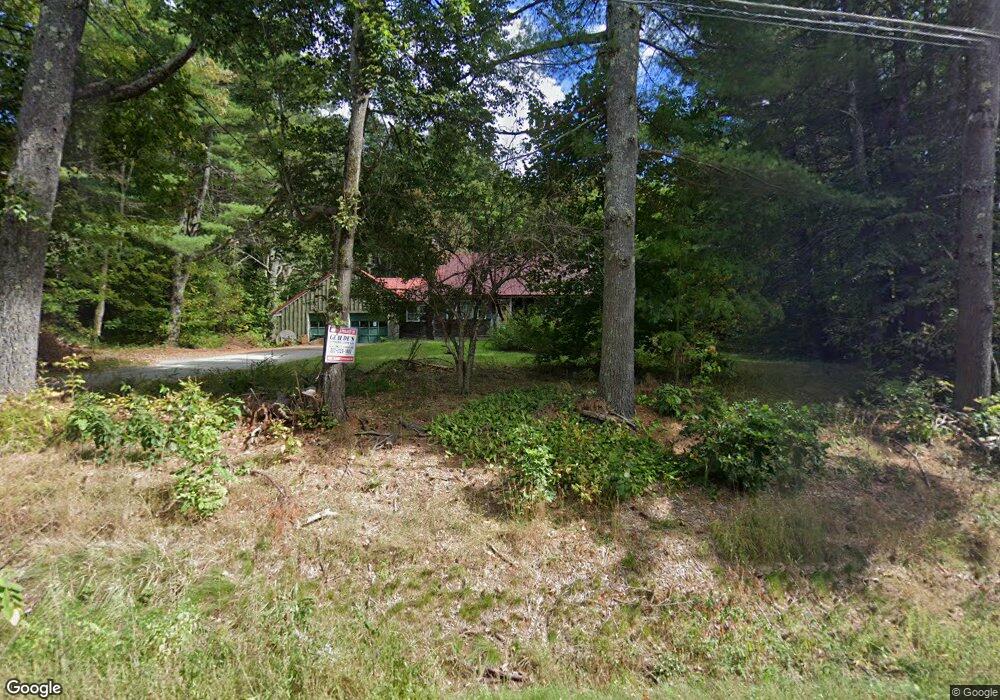
355 Lewiston Rd New Gloucester, ME 04260
Estimated Value: $489,000 - $513,000
5
Beds
2
Baths
1,848
Sq Ft
$271/Sq Ft
Est. Value
About This Home
This home is located at 355 Lewiston Rd, New Gloucester, ME 04260 and is currently estimated at $500,379, approximately $270 per square foot. 355 Lewiston Rd is a home located in Cumberland County with nearby schools including Gray-New Gloucester High School and Fiddlehead School of Arts & Science.
Ownership History
Date
Name
Owned For
Owner Type
Purchase Details
Closed on
May 6, 2025
Sold by
Glaude Michael
Bought by
Germano Jake A and Tarsetti Sarah B
Current Estimated Value
Home Financials for this Owner
Home Financials are based on the most recent Mortgage that was taken out on this home.
Original Mortgage
$481,124
Outstanding Balance
$478,554
Interest Rate
6.65%
Mortgage Type
FHA
Estimated Equity
$21,825
Purchase Details
Closed on
Sep 23, 2024
Sold by
Mancini Lewis D
Bought by
Glaude Michael
Purchase Details
Closed on
Sep 3, 2024
Sold by
Macini Amanda L and Bank Of Ny Melleon
Bought by
Glaude Michael
Purchase Details
Closed on
Jul 14, 2011
Sold by
Mancini Amanda L and Hsbc Mortgage Svcs Inc
Bought by
Bank Of New York Mellon
Create a Home Valuation Report for This Property
The Home Valuation Report is an in-depth analysis detailing your home's value as well as a comparison with similar homes in the area
Home Values in the Area
Average Home Value in this Area
Purchase History
| Date | Buyer | Sale Price | Title Company |
|---|---|---|---|
| Germano Jake A | $496,000 | None Available | |
| Germano Jake A | $496,000 | None Available | |
| Glaude Michael | -- | None Available | |
| Glaude Michael | -- | None Available | |
| Glaude Michael | -- | None Available | |
| Glaude Michael | $219,500 | None Available | |
| Glaude Michael | $219,500 | None Available | |
| Glaude Michael | $219,500 | None Available | |
| Bank Of New York Mellon | -- | -- | |
| Bank Of New York Mellon | -- | -- |
Source: Public Records
Mortgage History
| Date | Status | Borrower | Loan Amount |
|---|---|---|---|
| Open | Germano Jake A | $481,124 | |
| Closed | Germano Jake A | $481,124 |
Source: Public Records
Tax History Compared to Growth
Tax History
| Year | Tax Paid | Tax Assessment Tax Assessment Total Assessment is a certain percentage of the fair market value that is determined by local assessors to be the total taxable value of land and additions on the property. | Land | Improvement |
|---|---|---|---|---|
| 2025 | $3,128 | $202,205 | $65,140 | $137,065 |
| 2024 | $3,011 | $202,205 | $65,140 | $137,065 |
| 2023 | $2,890 | $202,205 | $65,140 | $137,065 |
| 2022 | $2,790 | $202,205 | $65,140 | $137,065 |
| 2021 | $2,790 | $202,205 | $65,140 | $137,065 |
| 2020 | $2,760 | $202,205 | $65,140 | $137,065 |
| 2019 | $2,979 | $176,300 | $57,200 | $119,100 |
| 2018 | $2,786 | $176,300 | $57,200 | $119,100 |
| 2017 | $2,750 | $176,300 | $57,200 | $119,100 |
| 2016 | $2,592 | $176,300 | $57,200 | $119,100 |
| 2015 | $2,583 | $176,300 | $57,200 | $119,100 |
| 2014 | $2,556 | $176,300 | $57,200 | $119,100 |
| 2013 | $2,371 | $176,300 | $57,200 | $119,100 |
Source: Public Records
Map
Nearby Homes
- 155 & 151 Gloucester Hill Rd
- 0018-C Gloucester Hill Rd
- 29 Rockwood Dr
- 160 Gloucester Hill Rd
- 22 Shaw Rd
- 271 Bennett Rd
- TBD Targett Rd
- 10 Cobbs Bridge Rd
- 24 Swamp Rd
- 65 Blueberry Ln
- 164 Intervale Rd
- 0 Mayall
- 343 Shaker Rd
- 200 Woodman Rd
- 14 Golden Way
- 423 Sabbathday Rd
- 12 Country Charm Ln
- 4 Chelsey Ln
- 27 Callaway Dr Unit 27A
- 27 Callaway Dr Unit 27B
- 355 Lewiston Rd
- 349 Lewiston Rd
- 363 Lewiston Rd
- 354 Lewiston Rd
- 362 Lewiston Rd
- 341 Lewiston Rd
- 371 Lewiston Rd
- 337 Lewiston Rd
- 372 Lewiston Rd
- 48 Short Bennett Rd
- 335 Lewiston Rd
- 58 Short Bennett Rd
- 334 Lewiston Rd
- 328 Lewiston Rd
- 323 Lewiston Rd
- 59 Short Bennett Rd
- 3 Webster Dr
- 0 Bennett
- 55 Short Bennett Rd
- 67 Short Bennett Rd