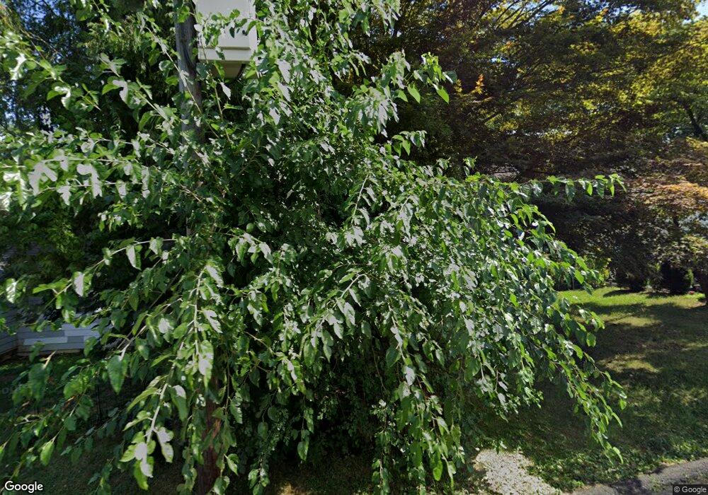
355 Queen St Bridgeport, CT 06606
North End NeighborhoodEstimated Value: $372,000 - $421,277
4
Beds
2
Baths
1,152
Sq Ft
$348/Sq Ft
Est. Value
About This Home
This home is located at 355 Queen St, Bridgeport, CT 06606 and is currently estimated at $401,069, approximately $348 per square foot. 355 Queen St is a home located in Fairfield County with nearby schools including Blackham School, Central High School, and St Andrew School.
Ownership History
Date
Name
Owned For
Owner Type
Purchase Details
Closed on
Jun 14, 2016
Sold by
Kuzma Sean
Bought by
Black Nicole and Block Winsome
Current Estimated Value
Purchase Details
Closed on
Aug 11, 2006
Sold by
Prince Hidell
Bought by
Reinheimer Maria
Purchase Details
Closed on
Sep 19, 2002
Sold by
Aljukic Suvad and Aljukic Dijana
Bought by
Prince Hidell
Purchase Details
Closed on
Nov 2, 2001
Sold by
Martin Robert A and Martin Diane M
Bought by
Aljukic Suvad and Aljukic Dijana
Purchase Details
Closed on
Apr 21, 1989
Sold by
St Pierr Joan
Bought by
Martin Robert
Create a Home Valuation Report for This Property
The Home Valuation Report is an in-depth analysis detailing your home's value as well as a comparison with similar homes in the area
Home Values in the Area
Average Home Value in this Area
Purchase History
| Date | Buyer | Sale Price | Title Company |
|---|---|---|---|
| Black Nicole | $110,000 | -- | |
| Black Nicole | $110,000 | -- | |
| Reinheimer Maria | $265,000 | -- | |
| Reinheimer Maria | $265,000 | -- | |
| Prince Hidell | $157,000 | -- | |
| Prince Hidell | $157,000 | -- | |
| Aljukic Suvad | $114,000 | -- | |
| Aljukic Suvad | $114,000 | -- | |
| Martin Robert | $138,500 | -- |
Source: Public Records
Mortgage History
| Date | Status | Borrower | Loan Amount |
|---|---|---|---|
| Open | Martin Robert | $50,000 | |
| Open | Martin Robert | $75,000 |
Source: Public Records
Tax History
| Year | Tax Paid | Tax Assessment Tax Assessment Total Assessment is a certain percentage of the fair market value that is determined by local assessors to be the total taxable value of land and additions on the property. | Land | Improvement |
|---|---|---|---|---|
| 2025 | $6,383 | $146,900 | $76,310 | $70,590 |
| 2024 | $6,383 | $146,900 | $76,310 | $70,590 |
| 2023 | $6,383 | $146,900 | $76,310 | $70,590 |
| 2022 | $6,383 | $146,900 | $76,310 | $70,590 |
| 2021 | $6,383 | $146,900 | $76,310 | $70,590 |
| 2020 | $5,564 | $103,050 | $43,840 | $59,210 |
| 2019 | $5,564 | $103,050 | $43,840 | $59,210 |
| 2018 | $5,603 | $103,050 | $43,840 | $59,210 |
| 2017 | $5,603 | $103,050 | $43,840 | $59,210 |
| 2016 | $5,603 | $103,050 | $43,840 | $59,210 |
| 2015 | $5,795 | $137,320 | $50,650 | $86,670 |
| 2014 | $5,795 | $137,320 | $50,650 | $86,670 |
Source: Public Records
Map
Nearby Homes
- 339 Goldenrod Ave
- 316 Goldenrod Ave
- 604 Birmingham St
- 575 Burnsford Ave
- 605 Merritt St
- 1095 Wayne St
- 574 Thorme St
- 619 Queen St
- 120 Clark St
- 533 Glendale Ave
- 720 Queen St
- 3461 Main St
- 26 Marsdale Ave
- 333 Vincellette St Unit 8
- 578 Beechmont Ave
- 288 Sunrise Terrace
- 234 Savoy St
- 315 Tesiny Ave
- 525 Westfield Ave
- 37 Herald Ave
Your Personal Tour Guide
Ask me questions while you tour the home.
