355 Riverwalk Dr Gunnison, CO 81230
Estimated Value: $1,420,928 - $1,685,000
4
Beds
3
Baths
2,502
Sq Ft
$616/Sq Ft
Est. Value
About This Home
This home is located at 355 Riverwalk Dr, Gunnison, CO 81230 and is currently estimated at $1,542,482, approximately $616 per square foot. 355 Riverwalk Dr is a home located in Gunnison County with nearby schools including Gunnison Elementary School, Gunnison Middle School, and Crested Butte Community School.
Ownership History
Date
Name
Owned For
Owner Type
Purchase Details
Closed on
Dec 17, 2019
Sold by
Hindes Sarah K and Hindes David S
Bought by
Vernon Erica J and Vernon Jason A
Current Estimated Value
Home Financials for this Owner
Home Financials are based on the most recent Mortgage that was taken out on this home.
Original Mortgage
$409,000
Outstanding Balance
$361,297
Interest Rate
3.7%
Mortgage Type
New Conventional
Estimated Equity
$1,181,185
Purchase Details
Closed on
Jan 26, 2018
Sold by
Nelson James M and Deetz Sharon L
Bought by
Hindes Sarah K and Hindes David S
Home Financials for this Owner
Home Financials are based on the most recent Mortgage that was taken out on this home.
Original Mortgage
$492,000
Interest Rate
3.93%
Mortgage Type
Commercial
Purchase Details
Closed on
Dec 28, 2012
Sold by
Riverwalk Estates Lllp
Bought by
Nelson James M and Deetz Sharon L
Create a Home Valuation Report for This Property
The Home Valuation Report is an in-depth analysis detailing your home's value as well as a comparison with similar homes in the area
Home Values in the Area
Average Home Value in this Area
Purchase History
| Date | Buyer | Sale Price | Title Company |
|---|---|---|---|
| Vernon Erica J | -- | None Available | |
| Vernon Erica J | $809,000 | Land Title | |
| Hindes Sarah K | -- | None Available | |
| Hindes Sara K | $615,000 | Abstract Company | |
| Nelson James M | $120,000 | None Available |
Source: Public Records
Mortgage History
| Date | Status | Borrower | Loan Amount |
|---|---|---|---|
| Open | Vernon Erica J | $409,000 | |
| Previous Owner | Hindes Sarah K | $492,000 |
Source: Public Records
Tax History Compared to Growth
Tax History
| Year | Tax Paid | Tax Assessment Tax Assessment Total Assessment is a certain percentage of the fair market value that is determined by local assessors to be the total taxable value of land and additions on the property. | Land | Improvement |
|---|---|---|---|---|
| 2024 | $3,603 | $72,380 | $27,470 | $44,910 |
| 2023 | $3,603 | $68,700 | $26,070 | $42,630 |
| 2022 | $3,539 | $58,890 | $11,200 | $47,690 |
| 2021 | $3,194 | $60,590 | $11,530 | $49,060 |
| 2020 | $3,096 | $55,470 | $10,380 | $45,090 |
| 2019 | $3,027 | $55,470 | $10,380 | $45,090 |
| 2018 | $2,329 | $41,510 | $8,060 | $33,450 |
| 2017 | $2,358 | $41,510 | $8,060 | $33,450 |
| 2016 | $2,277 | $40,220 | $9,720 | $30,500 |
Source: Public Records
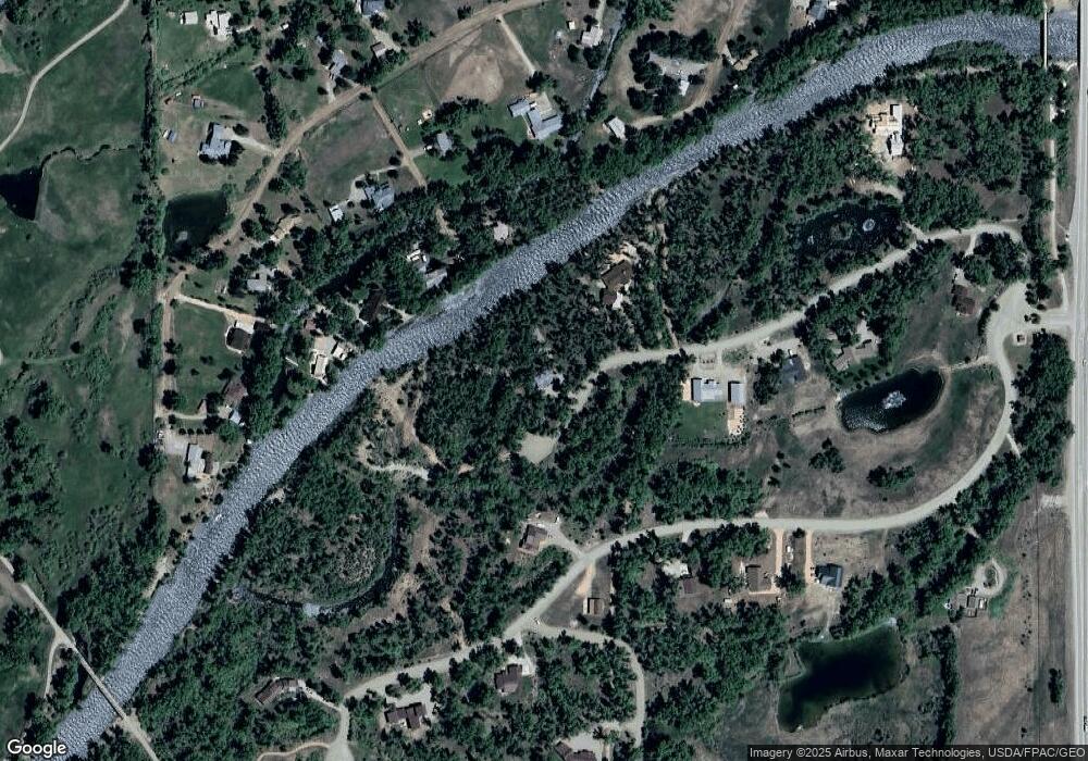
Map
Nearby Homes
- 87 & 141 & 199 Kokanee Ct
- 87 Kokanee Ct
- 255 Riverwalk Dr
- 196 Kokanee Ct
- 32 Ponderosa Ln
- 157 Spring Meadows Trail
- 409 Sierra Vista Way
- 26 Meadow Lark Trail
- 353 Meadowlark Trail
- 240 Crest View Dr
- 327 Silver Sage Dr
- 150 Sandpiper Trail
- 1012 State Highway 135
- 316 Van Tuyl Cir
- 303 Tyler Ln Unit C
- TBD Spencer & Pine
- 775 Sierra Vista Way
- 1144 N Colorado Cir
- 913 N Pine St
- 901 N Spruce St
- 377 Riverwalk Dr
- 311 Riverwalk Dr
- 400 Apache Rd
- 396 Apache Rd
- 345 Kokanee Ct
- 270 Riverwalk Dr
- 0 Apache Road B
- 494 Apache Rd
- 395 Kokanee Ct
- 451 Kokanee Ct
- LOT 38 Kokanee Ct
- 261 Kokanee Ct
- TBD Kokanee Ct
- 0 Chatto Ct
- 343 Kokanee Ct
- 532 Apache Rd
- 420 Apache Rd
- 392 Apache Rd
- 276 Kokanee Ct
- 235 Kokanee Ct