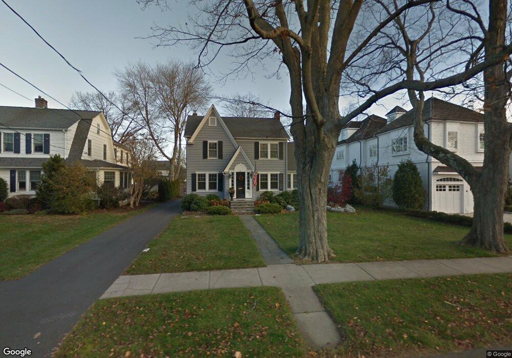
355 Rowland Rd Fairfield, CT 06824
Fairfield Beach NeighborhoodEstimated Value: $1,700,451 - $2,038,000
4
Beds
4
Baths
3,141
Sq Ft
$591/Sq Ft
Est. Value
About This Home
This home is located at 355 Rowland Rd, Fairfield, CT 06824 and is currently estimated at $1,856,363, approximately $591 per square foot. 355 Rowland Rd is a home located in Fairfield County with nearby schools including Roger Sherman Elementary School, Roger Ludlowe Middle School, and Fairfield Ludlowe High School.
Ownership History
Date
Name
Owned For
Owner Type
Purchase Details
Closed on
Jun 26, 2007
Sold by
Perham Stanton J and Perham Sally S
Bought by
Kingsview Re and Kingsview Re Ptnrs 2
Current Estimated Value
Home Financials for this Owner
Home Financials are based on the most recent Mortgage that was taken out on this home.
Original Mortgage
$1,250,000
Interest Rate
6.14%
Purchase Details
Closed on
Jun 25, 2007
Sold by
Perham Stanton J and Perham Sally S
Bought by
Cosper Susan M
Home Financials for this Owner
Home Financials are based on the most recent Mortgage that was taken out on this home.
Original Mortgage
$1,250,000
Interest Rate
6.14%
Purchase Details
Closed on
Nov 20, 1987
Sold by
Weeks Susan H
Bought by
Perham Stanton J
Create a Home Valuation Report for This Property
The Home Valuation Report is an in-depth analysis detailing your home's value as well as a comparison with similar homes in the area
Home Values in the Area
Average Home Value in this Area
Purchase History
| Date | Buyer | Sale Price | Title Company |
|---|---|---|---|
| Kingsview Re | $775,000 | -- | |
| Kingsview Re | $775,000 | -- | |
| Cosper Susan M | $1,150,000 | -- | |
| Cosper Susan M | $1,150,000 | -- | |
| Perham Stanton J | $392,200 | -- |
Source: Public Records
Mortgage History
| Date | Status | Borrower | Loan Amount |
|---|---|---|---|
| Open | Perham Stanton J | $827,000 | |
| Closed | Perham Stanton J | $1,250,000 |
Source: Public Records
Tax History Compared to Growth
Tax History
| Year | Tax Paid | Tax Assessment Tax Assessment Total Assessment is a certain percentage of the fair market value that is determined by local assessors to be the total taxable value of land and additions on the property. | Land | Improvement |
|---|---|---|---|---|
| 2025 | $18,424 | $648,970 | $357,000 | $291,970 |
| 2024 | $18,106 | $648,970 | $357,000 | $291,970 |
| 2023 | $17,853 | $648,970 | $357,000 | $291,970 |
| 2022 | $17,678 | $648,970 | $357,000 | $291,970 |
| 2021 | $17,509 | $648,970 | $357,000 | $291,970 |
| 2020 | $17,249 | $643,860 | $357,210 | $286,650 |
| 2019 | $17,249 | $643,860 | $357,210 | $286,650 |
| 2018 | $16,972 | $643,860 | $357,210 | $286,650 |
| 2017 | $16,624 | $643,860 | $357,210 | $286,650 |
| 2016 | $16,386 | $643,860 | $357,210 | $286,650 |
| 2015 | $16,421 | $662,410 | $392,350 | $270,060 |
| 2014 | $16,163 | $662,410 | $392,350 | $270,060 |
Source: Public Records
Map
Nearby Homes
- 35 Millard St
- 137 Millard St
- 394 Penfield Rd
- 378 Penfield Rd
- 783 Reef Rd
- 465 Edward St
- 260 Birch Rd
- 345 Reef Rd Unit B6
- 345 Reef Rd Unit C9
- 196 Catherine Terrace
- 748 Rowland Rd
- 294 Catherine Terrace
- 1008 Fairfield Beach Rd
- 2 Mellow St
- 6 Lighthouse Point
- 127 Paul Place
- 1235 Fairfield Beach Rd
- 96 Clinton St
- 226 Ruane St
- 65 Thorpe St Unit 65
- 345 Rowland Rd
- 381 Rowland Rd
- 333 Rowland Rd
- 377 Rowland Rd
- 360 Rowland Rd
- 150 Lalley Blvd
- 323 Rowland Rd
- 166 Lalley Blvd
- 206 Quincy St
- 348 Rowland Rd
- 372 Rowland Rd
- 334 Rowland Rd
- 124 Lalley Blvd
- 309 Rowland Rd
- 180 Quincy St
- 384 Rowland Rd
- 192 Lalley Blvd
- 112 Lalley Blvd
- 126 Lalley Blvd
- 178 Lalley Blvd