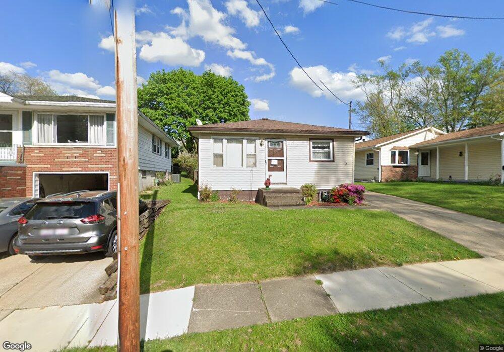
355 Stanley Rd Akron, OH 44312
Ellet NeighborhoodEstimated Value: $141,835 - $189,000
3
Beds
1
Bath
960
Sq Ft
$163/Sq Ft
Est. Value
About This Home
This home is located at 355 Stanley Rd, Akron, OH 44312 and is currently estimated at $156,709, approximately $163 per square foot. 355 Stanley Rd is a home located in Summit County with nearby schools including Ellet High School, Summit Academy Akron Elementary School, and Akron Preparatory school.
Ownership History
Date
Name
Owned For
Owner Type
Purchase Details
Closed on
Aug 29, 1994
Sold by
Micale Barbara L
Bought by
Huth Edward J
Current Estimated Value
Home Financials for this Owner
Home Financials are based on the most recent Mortgage that was taken out on this home.
Original Mortgage
$68,750
Interest Rate
8.72%
Mortgage Type
New Conventional
Create a Home Valuation Report for This Property
The Home Valuation Report is an in-depth analysis detailing your home's value as well as a comparison with similar homes in the area
Home Values in the Area
Average Home Value in this Area
Purchase History
| Date | Buyer | Sale Price | Title Company |
|---|---|---|---|
| Huth Edward J | $76,750 | -- |
Source: Public Records
Mortgage History
| Date | Status | Borrower | Loan Amount |
|---|---|---|---|
| Closed | Huth Edward J | $68,750 |
Source: Public Records
Tax History
| Year | Tax Paid | Tax Assessment Tax Assessment Total Assessment is a certain percentage of the fair market value that is determined by local assessors to be the total taxable value of land and additions on the property. | Land | Improvement |
|---|---|---|---|---|
| 2024 | $1,593 | $39,032 | $9,527 | $29,505 |
| 2023 | $1,593 | $39,032 | $9,527 | $29,505 |
| 2022 | $1,413 | $29,456 | $7,056 | $22,400 |
| 2021 | $1,414 | $29,456 | $7,056 | $22,400 |
| 2020 | $1,393 | $29,460 | $7,060 | $22,400 |
| 2019 | $1,280 | $25,960 | $6,700 | $19,260 |
| 2018 | $1,263 | $25,960 | $6,700 | $19,260 |
| 2017 | $1,378 | $25,960 | $6,700 | $19,260 |
| 2016 | $1,379 | $27,310 | $6,700 | $20,610 |
| 2015 | $1,378 | $27,310 | $6,700 | $20,610 |
| 2014 | $1,367 | $27,310 | $6,700 | $20,610 |
| 2013 | $1,399 | $28,190 | $6,700 | $21,490 |
Source: Public Records
Map
Nearby Homes
- 443 Fulmer Ave
- 472 Stephens Rd
- 274 Fulmer Ave
- 1832 Springfield Center Rd
- 2138 Forest Oak Dr
- 1863 Harding Ave
- 545 Fulmer Ave
- 260 Prairie Dr
- 581 Stanley Rd
- 586 Hillman Rd
- 111 Akers Ave
- 2226 Quayle Dr
- 1628 Merrill Ave
- 1622 Merrill Ave Unit 1624
- 640 Plainfield Rd
- 577 Essex St
- 2331 E Market St
- 20 Verdun Dr
- 110 Eastholm Ave
- 187 Highpoint Ave
- 351 Stanley Rd
- 359 Stanley Rd
- 345 Stanley Rd
- 363 Stanley Rd
- 367 Stanley Rd
- 370 Lansing Rd
- 376 Lansing Rd
- 366 Lansing Rd
- 380 Lansing Rd
- 337 Stanley Rd
- 1991 Daniels Ave Unit 1993
- 1993 Daniels Ave
- 356 Stanley Rd
- 384 Lansing Rd
- 352 Stanley Rd
- 360 Stanley Rd
- 348 Stanley Rd
- 368 Stanley Rd
- 2001 Daniels Ave
- 331 Stanley Rd
Your Personal Tour Guide
Ask me questions while you tour the home.