355 Trent Dr Dillon, MT 59725
Estimated Value: $505,353 - $529,000
3
Beds
2
Baths
1,864
Sq Ft
$277/Sq Ft
Est. Value
About This Home
This home is located at 355 Trent Dr, Dillon, MT 59725 and is currently estimated at $517,177, approximately $277 per square foot. 355 Trent Dr is a home located in Beaverhead County with nearby schools including Parkview School, Dillon Middle School, and Beaverhead Co High School.
Ownership History
Date
Name
Owned For
Owner Type
Purchase Details
Closed on
Jun 28, 2022
Sold by
Oneill Patrick F
Bought by
Oneill Patrick F
Current Estimated Value
Purchase Details
Closed on
Jun 15, 2021
Sold by
Ruby Dell Ranch Inc
Bought by
Oneill Patrick F and Oneill Lesley M
Purchase Details
Closed on
Jul 24, 2007
Sold by
Oneill Patrick F and Oneill Lesley M
Bought by
Oneill Patrick F
Home Financials for this Owner
Home Financials are based on the most recent Mortgage that was taken out on this home.
Original Mortgage
$225,000
Interest Rate
6.73%
Mortgage Type
New Conventional
Purchase Details
Closed on
May 13, 2005
Sold by
Neill Patrick F D
Bought by
Neill Patrick F O and Neill Hesley M O
Create a Home Valuation Report for This Property
The Home Valuation Report is an in-depth analysis detailing your home's value as well as a comparison with similar homes in the area
Purchase History
| Date | Buyer | Sale Price | Title Company |
|---|---|---|---|
| Oneill Patrick F | -- | None Listed On Document | |
| Oneill Patrick F | -- | None Listed On Document | |
| Oneill Patrick F | -- | First American Title Company | |
| Oneill Patrick F | -- | None Available | |
| Neill Patrick F O | -- | None Available |
Source: Public Records
Mortgage History
| Date | Status | Borrower | Loan Amount |
|---|---|---|---|
| Previous Owner | Oneill Patrick F | $225,000 |
Source: Public Records
Tax History
| Year | Tax Paid | Tax Assessment Tax Assessment Total Assessment is a certain percentage of the fair market value that is determined by local assessors to be the total taxable value of land and additions on the property. | Land | Improvement |
|---|---|---|---|---|
| 2025 | $759 | $473,600 | $0 | $0 |
| 2024 | $2,459 | $373,700 | $0 | $0 |
| 2023 | $2,485 | $373,700 | $0 | $0 |
| 2022 | $1,844 | $210,109 | $0 | $0 |
| 2021 | $1,771 | $210,074 | $0 | $0 |
| 2020 | $1,753 | $195,851 | $0 | $0 |
| 2019 | $1,733 | $195,851 | $0 | $0 |
| 2018 | $1,706 | $184,369 | $0 | $0 |
| 2017 | $1,720 | $184,369 | $0 | $0 |
| 2016 | $1,551 | $180,938 | $0 | $0 |
| 2015 | -- | $180,938 | $0 | $0 |
| 2014 | -- | $96,591 | $0 | $0 |
Source: Public Records
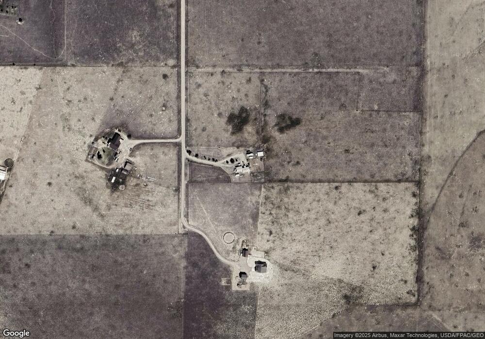
Map
Nearby Homes
- 255 Tory Dr
- 50 Tanager Ln
- Lot 11 Dancing Winds Rd
- Lot 13 Dancing Winds Rd
- 91 Sweetwater Estates Dr
- 430 Ten Peaks Dr
- 467 Taylor Dr
- Lot 4 Dancing Winds Rd
- 209 Taylor Dr
- 188 Fox Ridge Dr
- 42 Lynx Ct
- 1335 Cattle Dr
- 15 Wendy Ln
- 108 Cloudrest St
- 120 Thomas Way
- 23 Sunrise St
- 10 Ramshorn St
- 9 Skihi St
- 43 Tobacco Root Rd
- 31 Tobacco Root Rd
- 501 Trent Dr
- TBD Trent Dr
- 450 Trent Dr
- 2500 Carter Creek Rd
- 2200 Carter Creek Rd
- 2200 Carter Creek Rd Unit 1
- 1600 Carter Creek Rd
- TBD Carter Creek Rd
- Lot 16 Tory Dr
- Lot 20 Tory Dr
- Lot 15 Tory Dr
- Lot 21 Tory Dr
- Lot 17 Tory Dr
- 600 Tory Dr
- 155 Tory Dr
- 1610 Carter Creek Rd
- 500 Trista Dr
- 1308 Carter Creek Rd
- LOT 18A Carter Creek Rd
Your Personal Tour Guide
Ask me questions while you tour the home.