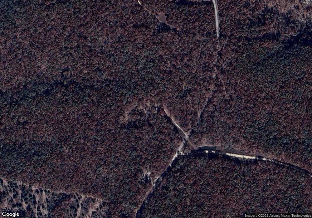
355 Walker Rd Summertown, TN 38483
Estimated Value: $56,576 - $227,000
--
Bed
1
Bath
400
Sq Ft
$293/Sq Ft
Est. Value
About This Home
This home is located at 355 Walker Rd, Summertown, TN 38483 and is currently estimated at $117,394, approximately $293 per square foot. 355 Walker Rd is a home located in Lewis County with nearby schools including Lewis County Elementary School, Lewis County Intermediate School, and Lewis County Middle School.
Ownership History
Date
Name
Owned For
Owner Type
Purchase Details
Closed on
Oct 29, 2020
Sold by
Gorniak Donna Andrea
Bought by
Bates Gretchen
Current Estimated Value
Purchase Details
Closed on
Oct 19, 2020
Sold by
Gorniak Dennis Lee
Bought by
Gorniak Donna Andrea
Purchase Details
Closed on
Feb 28, 2020
Sold by
Gorniak Donna Andrea
Bought by
Gorniak Dennis Lee
Purchase Details
Closed on
Jul 21, 2008
Sold by
Vande Castle Keith
Bought by
Gorniak Dennis Lee
Purchase Details
Closed on
May 5, 2006
Sold by
Vande Castle Keith
Bought by
Roe Peter
Purchase Details
Closed on
Mar 19, 2002
Bought by
Vande Castle Keith and Vande Kathryn
Create a Home Valuation Report for This Property
The Home Valuation Report is an in-depth analysis detailing your home's value as well as a comparison with similar homes in the area
Home Values in the Area
Average Home Value in this Area
Purchase History
| Date | Buyer | Sale Price | Title Company |
|---|---|---|---|
| Bates Gretchen | $37,500 | None Available | |
| Gorniak Donna Andrea | -- | None Available | |
| Gorniak Dennis Lee | $2,356 | -- | |
| Gorniak Dennis Lee | $26,500 | -- | |
| Roe Peter | $11,000 | -- | |
| Vande Castle Keith | $3,000 | -- |
Source: Public Records
Tax History Compared to Growth
Tax History
| Year | Tax Paid | Tax Assessment Tax Assessment Total Assessment is a certain percentage of the fair market value that is determined by local assessors to be the total taxable value of land and additions on the property. | Land | Improvement |
|---|---|---|---|---|
| 2025 | $43 | $10,625 | $0 | $0 |
| 2024 | $43 | $2,300 | $2,300 | $0 |
| 2023 | $43 | $2,300 | $2,300 | $0 |
| 2022 | $43 | $2,300 | $2,300 | $0 |
| 2021 | $192 | $10,175 | $2,300 | $7,875 |
| 2020 | $194 | $10,175 | $2,300 | $7,875 |
| 2019 | $194 | $8,475 | $2,600 | $5,875 |
| 2018 | $194 | $8,475 | $2,600 | $5,875 |
| 2017 | $194 | $8,475 | $2,600 | $5,875 |
| 2016 | $194 | $8,475 | $2,600 | $5,875 |
| 2015 | -- | $8,475 | $2,600 | $5,875 |
| 2014 | -- | $8,475 | $2,600 | $5,875 |
| 2013 | -- | $9,125 | $0 | $0 |
Source: Public Records
Map
Nearby Homes
- 180 Webb Rd
- 160 Webb Rd
- 0 Webb Rd
- 0 Drakes Ln
- 306 Drakes Ln
- 0 Redstone Dr
- 189 Holloway St
- 4835 Summertown Hwy
- 946 Monument Rd
- 107 Shady St
- 9167 Highway 20
- 103 Corbin St
- 876 Monument Rd
- 125 Monument Cir
- 798 Monument Rd
- 0 Lawrenceburg Hwy Unit 20416726
- 260 W Fork Rd
- 206 Daley St
- 690 Monument Rd
- 74 Pine Lake Rd
- 349 Walker Rd
- 331 Walker Rd
- 131 Rockdale Trace
- 135 Rockdale Trace
- 145 Rockdale Trace
- 151 Rockdale Trace
- 169 Apple Orchard Ln
- 171 Rockdale Trace
- 161 Rockdale Trace
- 155 Rockdale Trace
- 268 Walker Rd
- 180 Walker Rd
- 167 Rockdale Trace
- 149 Apple Orchard Ln
- 201 Farm Rd
- 113 Apple Orchard Ln
- 167 Walker Rd
- 115 Tower Rd
- 165 Walker Rd
- 142 Wilkerson Ln
