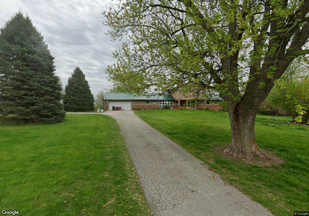
3551 Highway 22 Muscatine, IA 52761
Estimated Value: $588,000 - $695,143
5
Beds
5
Baths
6,534
Sq Ft
$96/Sq Ft
Est. Value
About This Home
This home is located at 3551 Highway 22, Muscatine, IA 52761 and is currently estimated at $625,714, approximately $95 per square foot. 3551 Highway 22 is a home located in Muscatine County with nearby schools including Muskie Early Learning Center, Madison Elementary School, and Central Middle School.
Ownership History
Date
Name
Owned For
Owner Type
Purchase Details
Closed on
Oct 29, 2013
Sold by
Hsbc Bank Usa
Bought by
Strickland James D and Strickland Roselle F
Current Estimated Value
Home Financials for this Owner
Home Financials are based on the most recent Mortgage that was taken out on this home.
Original Mortgage
$476,250
Interest Rate
4.23%
Mortgage Type
New Conventional
Purchase Details
Closed on
Feb 26, 2013
Sold by
Much Micah K and Much Danelle R
Bought by
Hsbc Bank Usa Na
Purchase Details
Closed on
Jan 30, 2006
Sold by
Henningsen Pressley W and Henningsen Jill M
Bought by
Much Micah K and Much Danelle R
Home Financials for this Owner
Home Financials are based on the most recent Mortgage that was taken out on this home.
Original Mortgage
$550,000
Interest Rate
6.37%
Mortgage Type
Construction
Create a Home Valuation Report for This Property
The Home Valuation Report is an in-depth analysis detailing your home's value as well as a comparison with similar homes in the area
Home Values in the Area
Average Home Value in this Area
Purchase History
| Date | Buyer | Sale Price | Title Company |
|---|---|---|---|
| Strickland James D | $345,000 | None Available | |
| Hsbc Bank Usa Na | $339,000 | None Available | |
| Much Micah K | $576,750 | None Available |
Source: Public Records
Mortgage History
| Date | Status | Borrower | Loan Amount |
|---|---|---|---|
| Closed | Strickland James D | $476,250 | |
| Previous Owner | Much Micah K | $550,000 |
Source: Public Records
Tax History Compared to Growth
Tax History
| Year | Tax Paid | Tax Assessment Tax Assessment Total Assessment is a certain percentage of the fair market value that is determined by local assessors to be the total taxable value of land and additions on the property. | Land | Improvement |
|---|---|---|---|---|
| 2025 | $8,010 | $657,320 | $123,070 | $534,250 |
| 2024 | $8,010 | $659,620 | $123,070 | $536,550 |
| 2023 | $7,766 | $663,115 | $123,066 | $540,049 |
| 2022 | $6,474 | $577,370 | $116,100 | $461,270 |
| 2021 | $6,474 | $470,870 | $110,300 | $360,570 |
| 2020 | $6,662 | $462,320 | $101,750 | $360,570 |
| 2019 | $6,856 | $449,230 | $0 | $0 |
| 2018 | $6,706 | $449,230 | $0 | $0 |
| 2017 | $6,706 | $439,850 | $0 | $0 |
| 2016 | $6,904 | $439,850 | $0 | $0 |
| 2015 | $6,904 | $439,480 | $0 | $0 |
| 2014 | $6,960 | $439,480 | $0 | $0 |
Source: Public Records
Map
Nearby Homes
- 2143 Madison St
- 3391 Water St
- 2115 Vantage Point Rd
- 1875 Stagecoach Ln
- 3701 165th St
- 15625 80th Ave W
- 6203 116th St
- 11640 61st Avenue Place
- 6218 114th St
- 3881 Highway 61
- 13314 175th St W
- 3002 180th St
- 6594 116th St
- 1968 Geneva Hills Rd
- 2917 Hwy 22
- 12505 70th Ave
- 508 Prairie Meadow Dr
- 501 Prairie Meadow Dr
- 680 Sweet Wood Ln
- 4911 Abrams Dr
- 3551 Highway 22
- LOT 3 Eagle's Nest
- 0 Hwy 22 Eagle's Nest
- 0 Hwy 22 Eagle's Nest Parcels
- 3555 Highway 22
- LOT 1 Eagle's Nest
- 3553 Highway 22
- 3553 Highway 22
- 3553 Highway 22
- 0 Hwy 22 Parcels Unit 12-976
- 3547 Highway 22
- 3546 Highway 22
- 3880 Highway 22
- 3525 Highway 22
- 3567 Highway 22
- 3497 Big Sky
- 3494 Big Sky
- 3495 Old Highway Rd Unit River Station SD
- 3497 Old Highway Rd Unit River Station SD
- 3497 Old Highway Rd