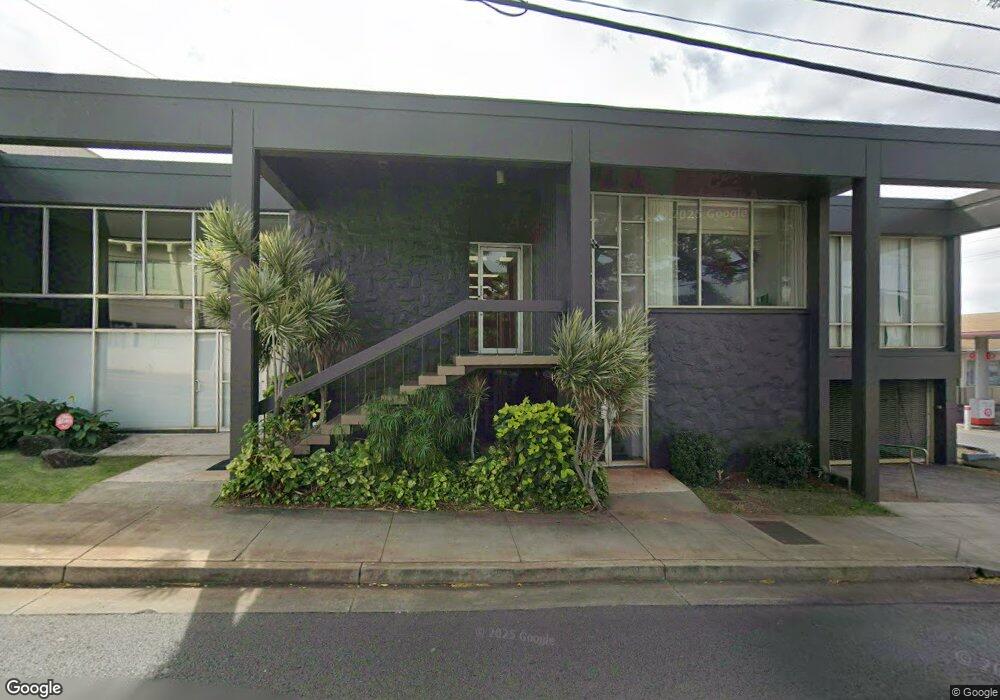
3555 Harding Ave Honolulu, HI 96816
Kaimuki NeighborhoodEstimated Value: $5,822,992
Studio
12
Baths
8,088
Sq Ft
$720/Sq Ft
Est. Value
About This Home
This home is located at 3555 Harding Ave, Honolulu, HI 96816 and is currently estimated at $5,822,992, approximately $719 per square foot. 3555 Harding Ave is a home located in Honolulu County with nearby schools including King Liholiho Elementary School, Kaimuki Middle School, and Kalani High School.
Ownership History
Date
Name
Owned For
Owner Type
Purchase Details
Closed on
May 5, 2023
Sold by
Ant Holdings Llc
Bought by
Lci 3555 Harding Avenue Llc
Current Estimated Value
Home Financials for this Owner
Home Financials are based on the most recent Mortgage that was taken out on this home.
Original Mortgage
$2,000,000
Interest Rate
6.32%
Purchase Details
Closed on
Oct 3, 2003
Sold by
Christian Broadcasting Assn
Bought by
Ant Holdings Llc and Syd Holdings Llc
Home Financials for this Owner
Home Financials are based on the most recent Mortgage that was taken out on this home.
Original Mortgage
$900,000
Interest Rate
6.22%
Mortgage Type
Commercial
Create a Home Valuation Report for This Property
The Home Valuation Report is an in-depth analysis detailing your home's value as well as a comparison with similar homes in the area
Home Values in the Area
Average Home Value in this Area
Purchase History
| Date | Buyer | Sale Price | Title Company |
|---|---|---|---|
| Lci 3555 Harding Avenue Llc | -- | Old Republic Title | |
| Ant Holdings Llc | $1,250,000 | -- |
Source: Public Records
Mortgage History
| Date | Status | Borrower | Loan Amount |
|---|---|---|---|
| Closed | Lci 3555 Harding Avenue Llc | $2,000,000 | |
| Closed | Lci 3555 Harding Avenue Llc | $2,700,000 | |
| Previous Owner | Ant Holdings Llc | $900,000 |
Source: Public Records
Tax History
| Year | Tax Paid | Tax Assessment Tax Assessment Total Assessment is a certain percentage of the fair market value that is determined by local assessors to be the total taxable value of land and additions on the property. | Land | Improvement |
|---|---|---|---|---|
| 2025 | $52,132 | $4,218,400 | $2,186,300 | $2,032,100 |
| 2024 | $52,132 | $4,204,200 | $2,186,300 | $2,017,900 |
| 2023 | $36,104 | $2,911,600 | $1,987,500 | $924,100 |
| 2022 | $35,416 | $2,856,100 | $1,987,500 | $868,600 |
| 2021 | $35,996 | $2,902,900 | $1,987,500 | $915,400 |
| 2020 | $36,849 | $2,971,700 | $1,987,500 | $984,200 |
| 2019 | $35,545 | $2,866,500 | $1,860,000 | $1,006,500 |
| 2018 | $32,167 | $2,594,100 | $1,800,000 | $794,100 |
| 2017 | $30,748 | $2,479,700 | $1,687,500 | $792,200 |
| 2016 | $27,367 | $2,207,000 | $1,410,000 | $797,000 |
Source: Public Records
Map
Nearby Homes
- 1103 10th Ave
- 1139 9th Ave Unit 703
- 1139 9th Ave Unit 304
- 1139 9th Ave Unit 303
- 1139 9th Ave Unit 401
- 3350 Sierra Dr Unit 601
- 3741 Harding Ave
- 928 9th Ave Unit B
- 766 Ocean View Dr
- 718 10th Ave
- 3782 Claudine St
- 4152 Koko Dr Unit 2
- 4026 Harding Ave
- 4169 Koko Dr Unit 4169
- 532A Malie Place
- 4049A Keanu St
- 3797 Sierra Dr Unit A
- 1003 3rd Ave
- 3841 Pukalani Place
- 1541 Palolo Ave Unit A
- 1044 12th Ave Unit 1044A
- 1044 12th Ave Unit 1044
- 1048 12th Ave
- 1048 12th Ave Unit A1
- 1048 12th Ave Unit A
- 1050 12th Ave
- 1108 12th Ave Unit C
- 1042 12th Ave
- 3535 Harding Ave
- 1054 11th Ave
- 1059 12th Ave Unit A
- 1059 12th Ave Unit G
- 3527 Harding Ave
- 1049 12th Ave
- 1021 11th Ave
- 3526 Harding Ave
- 1017 11th Ave
- 3523 Harding Ave
- 1109 12th Ave Unit 102
- 1109 12th Ave Unit 201
Your Personal Tour Guide
Ask me questions while you tour the home.