3555 Poli Rd Ortonville, MI 48462
Estimated Value: $444,000 - $678,000
--
Bed
--
Bath
2,184
Sq Ft
$250/Sq Ft
Est. Value
About This Home
This home is located at 3555 Poli Rd, Ortonville, MI 48462 and is currently estimated at $545,831, approximately $249 per square foot. 3555 Poli Rd is a home located in Oakland County with nearby schools including Brandon High School.
Ownership History
Date
Name
Owned For
Owner Type
Purchase Details
Closed on
Sep 3, 2025
Sold by
Schmaltz Keith and Schmaltz Sharon
Bought by
Keith T Schmaltz And Sharon A Schmaltz Revoca
Current Estimated Value
Purchase Details
Closed on
May 23, 2006
Sold by
Wood William P and Wood Barrie Lynn
Bought by
Schmaltz Keith and Schmaltz Sharon
Home Financials for this Owner
Home Financials are based on the most recent Mortgage that was taken out on this home.
Original Mortgage
$441,000
Interest Rate
6.58%
Mortgage Type
Construction
Create a Home Valuation Report for This Property
The Home Valuation Report is an in-depth analysis detailing your home's value as well as a comparison with similar homes in the area
Home Values in the Area
Average Home Value in this Area
Purchase History
| Date | Buyer | Sale Price | Title Company |
|---|---|---|---|
| Keith T Schmaltz And Sharon A Schmaltz Revoca | -- | None Listed On Document | |
| Keith T Schmaltz And Sharon A Schmaltz Revoca | -- | None Listed On Document | |
| Schmaltz Keith | $225,000 | Philip R Seaver Title Co Inc | |
| Wood William P | -- | Philip R Seaver Title Co Inc |
Source: Public Records
Mortgage History
| Date | Status | Borrower | Loan Amount |
|---|---|---|---|
| Previous Owner | Schmaltz Keith | $441,000 |
Source: Public Records
Tax History Compared to Growth
Tax History
| Year | Tax Paid | Tax Assessment Tax Assessment Total Assessment is a certain percentage of the fair market value that is determined by local assessors to be the total taxable value of land and additions on the property. | Land | Improvement |
|---|---|---|---|---|
| 2024 | $4,278 | $233,100 | $0 | $0 |
| 2023 | $4,081 | $214,060 | $0 | $0 |
| 2022 | $7,330 | $186,880 | $0 | $0 |
| 2021 | $6,950 | $186,300 | $0 | $0 |
| 2020 | $3,657 | $183,290 | $0 | $0 |
| 2019 | $6,737 | $172,150 | $0 | $0 |
| 2018 | $6,633 | $170,910 | $0 | $0 |
| 2017 | $6,601 | $167,260 | $0 | $0 |
| 2016 | $8,056 | $165,660 | $0 | $0 |
| 2015 | -- | $81,840 | $0 | $0 |
| 2014 | -- | $79,520 | $0 | $0 |
| 2011 | -- | $69,050 | $0 | $0 |
Source: Public Records
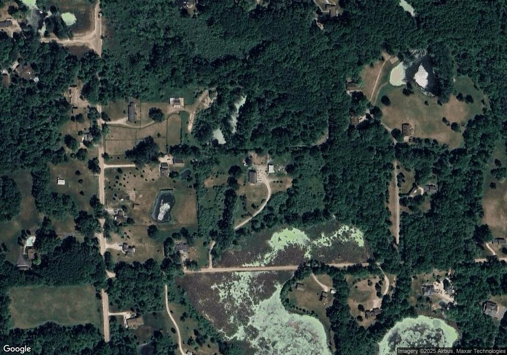
Map
Nearby Homes
- 00 S Sashabaw Rd
- 550 Pheasant Ridge Ct
- VL Sashabaw Rd
- 820 Lockwood Rd
- 320 Nancy Bird
- 360 N Hadley Rd
- 1225 Tonda Dr
- 485 N Hadley Rd
- 12 Parker Ln
- 135 Parker Ln
- 1525 Perry Lake Rd
- 2165 Dublin Ct
- 056 Burrus Rd
- 4888 Oakwood Rd
- 2679 Lakeview Dr
- VL Chevrolet Ave
- 1632 Woodfield St
- 1795 Oakwood Rd
- 00 Lakeview
- 000 Little Lake Rd
- 97 S Sashabaw Rd
- 3531 Poli Rd
- 31 S Sashabaw Rd
- 100 Sumac Dr
- 115 S Sashabaw Rd
- 133 S Sashabaw Rd
- 3720 Wood Point Dr
- 3700 Poli Rd
- PARC 3 N Sashabaw Rd
- 3610 Wood Point Dr
- 48 S Sashabaw Rd
- 175 Sumac Dr
- 8 S Sashabaw Rd
- 30 S Sashabaw Rd
- 0 N Sashabaw Rd Unit 5582601
- 000 S Sashabaw Rd
- 0000 S Sashabaw Rd
- 0 N Sashabaw Rd Unit 5510790
- 0 S Sashabaw Rd
- 0 N Sashabaw Rd Unit 216102476