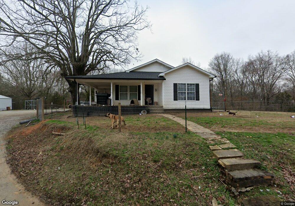
3556 Litt Wilson Rd Finger, TN 38334
Estimated Value: $95,000 - $181,000
--
Bed
1
Bath
1,412
Sq Ft
$98/Sq Ft
Est. Value
About This Home
This home is located at 3556 Litt Wilson Rd, Finger, TN 38334 and is currently estimated at $137,820, approximately $97 per square foot. 3556 Litt Wilson Rd is a home located in McNairy County with nearby schools including Bethel Springs Elementary School, Selmer Elementary School, and Adamsville Elementary School.
Ownership History
Date
Name
Owned For
Owner Type
Purchase Details
Closed on
May 30, 2019
Sold by
Heathcock Robert Lee
Bought by
Heathcock Robert
Current Estimated Value
Home Financials for this Owner
Home Financials are based on the most recent Mortgage that was taken out on this home.
Original Mortgage
$70,000
Outstanding Balance
$61,419
Interest Rate
4.1%
Mortgage Type
Commercial
Estimated Equity
$76,401
Create a Home Valuation Report for This Property
The Home Valuation Report is an in-depth analysis detailing your home's value as well as a comparison with similar homes in the area
Home Values in the Area
Average Home Value in this Area
Purchase History
| Date | Buyer | Sale Price | Title Company |
|---|---|---|---|
| Heathcock Robert | $90,000 | -- |
Source: Public Records
Mortgage History
| Date | Status | Borrower | Loan Amount |
|---|---|---|---|
| Open | Heathcock Robert | $70,000 |
Source: Public Records
Tax History Compared to Growth
Tax History
| Year | Tax Paid | Tax Assessment Tax Assessment Total Assessment is a certain percentage of the fair market value that is determined by local assessors to be the total taxable value of land and additions on the property. | Land | Improvement |
|---|---|---|---|---|
| 2025 | $353 | $24,350 | $0 | $0 |
| 2024 | $353 | $22,375 | $1,225 | $21,150 |
| 2023 | $306 | $22,375 | $1,225 | $21,150 |
| 2022 | $306 | $19,400 | $1,225 | $18,175 |
| 2021 | $256 | $12,500 | $1,500 | $11,000 |
| 2020 | $256 | $12,500 | $1,500 | $11,000 |
| 2019 | $256 | $12,500 | $1,500 | $11,000 |
| 2018 | $256 | $12,500 | $1,500 | $11,000 |
| 2017 | $256 | $12,500 | $1,500 | $11,000 |
| 2016 | $236 | $12,500 | $1,500 | $11,000 |
| 2015 | $246 | $11,750 | $1,500 | $10,250 |
| 2014 | $242 | $11,600 | $1,575 | $10,025 |
Source: Public Records
Map
Nearby Homes
- 0 Center Hill Rd
- 0 Young Rd
- 226 Sherry Lynn Dr
- 0 Sol Colston Rd
- 0 Smith Rd
- 50 Braund Rd
- 171 Malone Cemetery Rd
- 1295 Mayfield Rd
- 0 Otis Paine Rd
- 115 Harmony Ln
- 6140 Finger Leapwood Rd
- X Cedar Brook Ln
- 1 Otis Paine Rd
- 1272 Bailey Rd
- 2885 Old Friendship Rd
- 3677 Center Hill Rd
- 1890 Montezuma Rd
- 2070 Talley Store Rd
- 5310 Old Friendship Rd
- 3202 Otis Plunk Rd
- 3577 Litt Wilson Rd
- 3654 Litt Wilson Rd
- 3702 Litt Wilson Rd
- 3710 Litt Wilson Rd
- 111 Sundown Ln
- 3703 Litt Wilson Rd
- 1709 Finger Leapwood Rd
- 1691 Finger Leapwood Rd
- 1765 Finger Leapwood Rd
- 3778 Litt Wilson Rd
- 1673 Finger Leapwood Rd
- 155 Sundown Ln
- 3354 Litt Wilson Rd
- 1613 Finger Leapwood Rd
- 1841 Finger Leapwood Rd
- 54 Oak St
- 112 Oak St
- 1646 Finger Leapwood Rd
- 1941 Finger Leapwood Rd
- 1894 Finger Leapwood Rd