3556 Spruce St North Bend, OR 97459
Estimated Value: $514,011 - $515,000
4
Beds
3
Baths
2,368
Sq Ft
$217/Sq Ft
Est. Value
About This Home
This home is located at 3556 Spruce St, North Bend, OR 97459 and is currently estimated at $514,506, approximately $217 per square foot. 3556 Spruce St is a home located in Coos County with nearby schools including Hillcrest Elementary School, North Bend Middle School, and North Bend Senior High School.
Ownership History
Date
Name
Owned For
Owner Type
Purchase Details
Closed on
Dec 29, 2009
Sold by
Bibey Robert R and Bibey Donna M
Bought by
Bibey Robert R and Bibey Donna M
Current Estimated Value
Home Financials for this Owner
Home Financials are based on the most recent Mortgage that was taken out on this home.
Original Mortgage
$114,100
Interest Rate
4.77%
Mortgage Type
New Conventional
Create a Home Valuation Report for This Property
The Home Valuation Report is an in-depth analysis detailing your home's value as well as a comparison with similar homes in the area
Home Values in the Area
Average Home Value in this Area
Purchase History
| Date | Buyer | Sale Price | Title Company |
|---|---|---|---|
| Bibey Robert R | -- | Ticor Title Insurance |
Source: Public Records
Mortgage History
| Date | Status | Borrower | Loan Amount |
|---|---|---|---|
| Closed | Bibey Robert R | $114,100 |
Source: Public Records
Tax History Compared to Growth
Tax History
| Year | Tax Paid | Tax Assessment Tax Assessment Total Assessment is a certain percentage of the fair market value that is determined by local assessors to be the total taxable value of land and additions on the property. | Land | Improvement |
|---|---|---|---|---|
| 2024 | $4,464 | $290,100 | -- | -- |
| 2023 | $4,333 | $281,660 | $0 | $0 |
| 2022 | $4,286 | $273,460 | $0 | $0 |
| 2021 | $4,391 | $265,500 | $0 | $0 |
| 2020 | $4,113 | $265,500 | $0 | $0 |
| 2019 | $3,934 | $250,270 | $0 | $0 |
| 2018 | $3,824 | $242,990 | $0 | $0 |
| 2017 | $3,717 | $235,920 | $0 | $0 |
| 2016 | $3,604 | $229,050 | $0 | $0 |
| 2015 | $3,295 | $222,380 | $0 | $0 |
| 2014 | $3,295 | $218,020 | $0 | $0 |
Source: Public Records
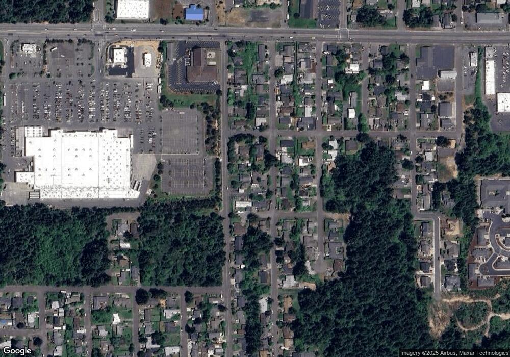
Map
Nearby Homes