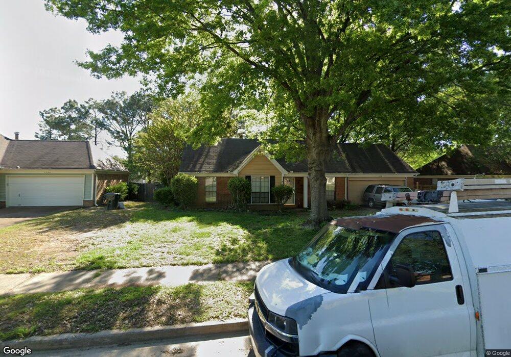
3558 Foxfield Trail Memphis, TN 38135
Estimated Value: $259,000 - $294,000
3
Beds
2
Baths
1,528
Sq Ft
$182/Sq Ft
Est. Value
About This Home
This home is located at 3558 Foxfield Trail, Memphis, TN 38135 and is currently estimated at $278,454, approximately $182 per square foot. 3558 Foxfield Trail is a home located in Shelby County with nearby schools including Oak Elementary School, Appling Middle School, and Bartlett High School.
Ownership History
Date
Name
Owned For
Owner Type
Purchase Details
Closed on
Jun 27, 2003
Sold by
Lavoie Michael A and Lavoie Jodie A
Bought by
Baldridge Michael J and Baldridge Donna C
Current Estimated Value
Purchase Details
Closed on
Apr 23, 1999
Sold by
Parks Kenneth D and Parks Leslie A
Bought by
Lovie Michael A and Lovie Jodie A
Home Financials for this Owner
Home Financials are based on the most recent Mortgage that was taken out on this home.
Original Mortgage
$122,437
Interest Rate
7.06%
Mortgage Type
FHA
Create a Home Valuation Report for This Property
The Home Valuation Report is an in-depth analysis detailing your home's value as well as a comparison with similar homes in the area
Home Values in the Area
Average Home Value in this Area
Purchase History
| Date | Buyer | Sale Price | Title Company |
|---|---|---|---|
| Baldridge Michael J | $132,000 | -- | |
| Lovie Michael A | $122,500 | -- | |
| Lovie Michael A | $122,500 | -- |
Source: Public Records
Mortgage History
| Date | Status | Borrower | Loan Amount |
|---|---|---|---|
| Previous Owner | Lovie Michael A | $122,437 |
Source: Public Records
Tax History Compared to Growth
Tax History
| Year | Tax Paid | Tax Assessment Tax Assessment Total Assessment is a certain percentage of the fair market value that is determined by local assessors to be the total taxable value of land and additions on the property. | Land | Improvement |
|---|---|---|---|---|
| 2025 | $1,603 | $65,100 | $14,500 | $50,600 |
| 2024 | $1,603 | $47,275 | $9,750 | $37,525 |
| 2023 | $2,420 | $47,275 | $9,750 | $37,525 |
| 2022 | $2,420 | $47,275 | $9,750 | $37,525 |
| 2021 | $2,458 | $47,275 | $9,750 | $37,525 |
| 2020 | $2,107 | $35,825 | $7,500 | $28,325 |
| 2019 | $2,107 | $35,825 | $7,500 | $28,325 |
| 2018 | $2,107 | $35,825 | $7,500 | $28,325 |
| 2017 | $1,472 | $35,825 | $7,500 | $28,325 |
| 2016 | $1,387 | $31,750 | $0 | $0 |
| 2014 | $1,387 | $31,750 | $0 | $0 |
Source: Public Records
Map
Nearby Homes
- 6913 Tiffany Oaks Cove
- 7185 Deerfield Rd
- 7205 Andrews Rd
- 3334 Oak Rd
- 6790 Way Wood Cove
- 6759 Oakmoor Cir S
- 6963 Fairhill Ln
- 7540 Highway 70 E
- 3408 Crossing Cove
- 7543 Highway 70 E
- 0 HIGHWAY Highway 70 E
- 3190 Woodsman Ln
- 3956 Laurelhill Ln
- 3180 Hedgemore Cove
- 6630 Morningsgate Cove
- 7089 E Foxhill Dr
- 6613 Baird Cove
- 8121 Highway 70 E
- Kensley Plan at Union Depot
- Emerson Plan at Union Depot
- 3566 Foxfield Trail
- 3550 Foxfield Trail
- 3574 Foxfield Trail
- 7016 Andrews Rd
- 3557 Foxfield Trail
- 3565 Foxfield Trail
- 3549 Foxfield Trail
- 3575 Foxfield Trail
- 3582 Foxfield Trail
- 3539 Foxfield Trail
- 3581 Foxfield Trail
- 3564 Trey Hobbs Cove
- 3570 Trey Hobbs Cove
- 6988 Andrews Rd
- 3590 Foxfield Trail
- 7013 Andrews Rd
- 7023 Andrews Rd
- 7005 Andrews Rd
- 3580 Trey Hobbs Cove
- 7031 Andrews Rd